Search This Blog

Monday, November 30, 2015

Lower Linear Park(Berkshires)

With skies clearing out on a relatively cool late November day, I set out for a small hike at Linear Park in Williamstown, located in the northern Berkshires.  The park and trails were constructed for the town of Williamstown's 250th anniversary back in 2003. Finding the park can be a bit tricky however, as it is found at the end of a small unmarked dirt road on the north side of Route 2.  The actual road entrance is found directly next to the Greylock Insurance Agency.  Take this road(which almost looks like a driveway) to the end, where a small parking lot and tennis courts are found.  The trails begin just past the kiosk to the right of the courts.
 The trail begins on a wide jeep road and passes several backyards.
 There are two level trail loops that traverse the park.  After about a quarter of a mile a field loop breaks off to the right, but I continued on a short distance further to the woods loop on the left.  The woods loop closely follows the tranquil Green River downstream to where it flows into the Hoosic River.
 A bench provides a pleasant spot to relax and enjoy the peaceful Green River flowing by.
After passing the confluence of the two rivers, the trail bends to the east and parallels the Hoosic River for a while.  The trail is wide and easy to follow, although lacking any trail signage.
Several small informal paths break away from the main trail and provide access to the Hoosic River.  Here are nice reflections along a quiet stretch of river.
Once entering the open fields, there are dramatic views to the of the Greylock Massif.  Looking closely, you can spot snow far atop Mount Williams summit area.
Rushing water along a wild feeling section of the Hoosic River.
The Taconic Range can be seen rising to the west.
Pleasant views on the farm path as it turns to the south.
This spot makes for an easy stroll with pleasant views, but unfortunately lacks any trail signage.  On the other hand, the trails are wide and easy to follow.  Hiked a total of about 1.5 miles on all three trails(Woods Loop, Field Loop and Main Trail).

Spruce Peak(Vermont)

Located just to the east and high above the town of Manchester along the Long Trail/ Appalachian Trail is 2,040 foot Spruce Peak and its unique cabin style shelter.  The trail head is found by taking exit 4 off of Route 7 and following Rout 11/30 east for 4.3 miles to the large parking lot located on the left(north side of the road). To access the Long Trail south from here, you must cross busy route 11/30.  This is a high traffic area, with vehicles traveling in excess of 50 mph so please take care in crossing the road.
 The Long Trail signage after crossing the highway.
 The trail immediately begins heading south into a hardwood forest away from the sounds of hustle and bustle of rushing traffic.
 The LT/ AT crosses several small streams along the way.  The first is crossed by a nice footbridge.  All other streams are small enough to be crossed by rock hopping.
 A cold stream rushing down through the woods, with ice forming along the way.
 The trail soon turns west towards the ridge line, where screened views over the valley through the bare trees are available.
 Passing through ferns.
A nice cascade drops down near a set of power lines.

Just prior to reaching the summit, you will pass by a substantial rock wall.
 Rock steps heading towards the summit.
 After 2.4 miles you will arrive at a small side path which climbs the rock outcrop to Spruce Peak's summit area.  The path is not really clear but it is fairly easy to climb up the rocks to a nice view point west over Manchester.
 Great views over Manchester with hulking Equinox Mountain beyond to the west.
 Many day hikers turn back at this point, but I highly recommend continuing on the additional .4 miles to the Spruce Peak Shelter spur trail.
 A short walk down the spur trail brings you to the shelter.
 Spruce Peak Shelter, built in 1984, provides a unique cabin like lodging exerience.
The front view of the shelter.
 Once inside, you have the option of leaving the door open or sliding it shut for a true indoor feel.  There is a wooden table with reading material and windows, which provide good lighting.
 There are several bunks for sleeping.
 The ladder to a top bunk.
 A wood stove is found inside to provide warmth on cold Vermont nights, as well as a duraflame log and paper for burning.  There are also written instructions posted on the interior wall.
 A side view of the cabin.
 The front porch area.
Just down the trail is a privy with these instructions. :-)
After enjoying the cabin for a little while, I turned back, retracing my steps north 2.8 miles to the car.  There is another substantial view from a power line clearing.  Route 11/30 can easily be seen winding along.
Arrived back at the car after completing 5.6 miles RT on this cloudy, cool last day of November.

Tuesday, November 24, 2015

Macedonia Brook State Park(Connecticut)

Deep in the rugged hills of northwest Connecticut, just east of the New York state line and just north of route 341 lies 2300 acre Macedonia Brook State Park, with many miles of trails available as well as multiple picnic areas along the brook.  I arrived at the trail head, which is found 1.5 miles north of Route 341 in a small parking lot on the left immediately after crossing Macedonia Brook, at about 11am.  The sun was shining bright with calm winds.  This was going to be a good day!
Beautiful, babbling Macedonia Brook.
The blue marked Macedonia Ridge trail forms a loop around the entire park, climbing several ridge lines along the way.  I chose to go west first, and almost immediately came to a rustic bridge crossing over a tributary of Macedonia Brook.
A small stream flowing down the hills.
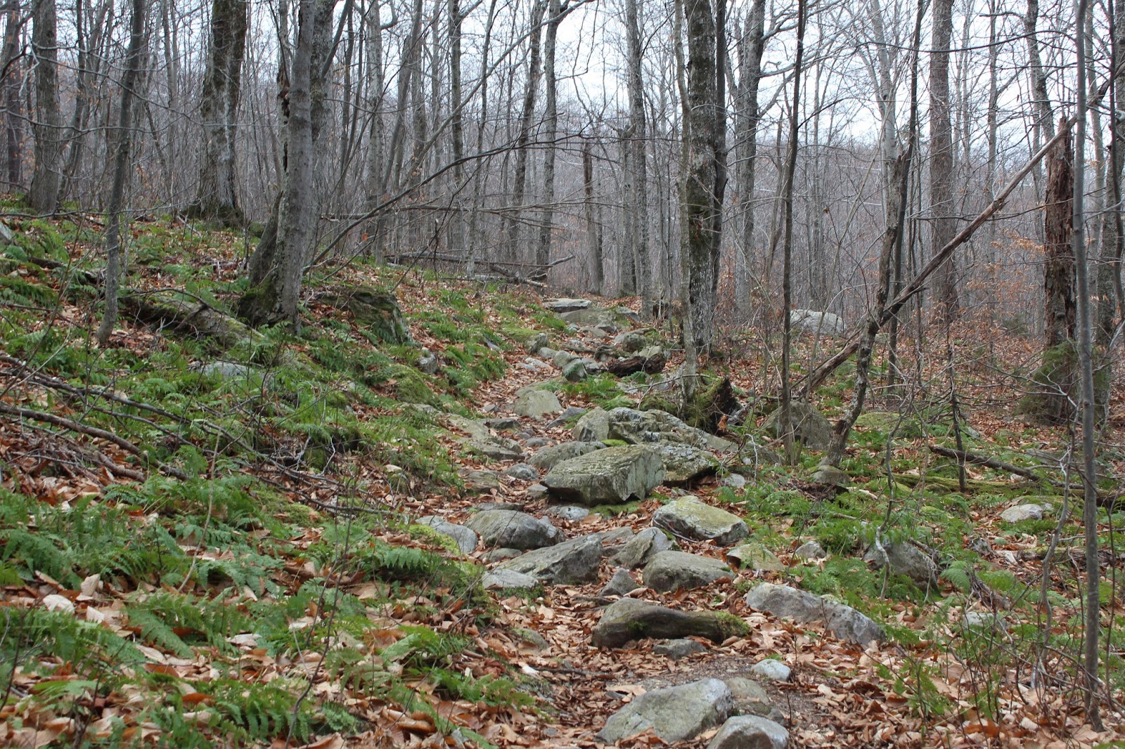
The trail climbs steadily uphill on a sea of leaves, which made good footing almost impossible.
A couple of small streams are crossed easily on the ascent.
Ascending towards some ledges.
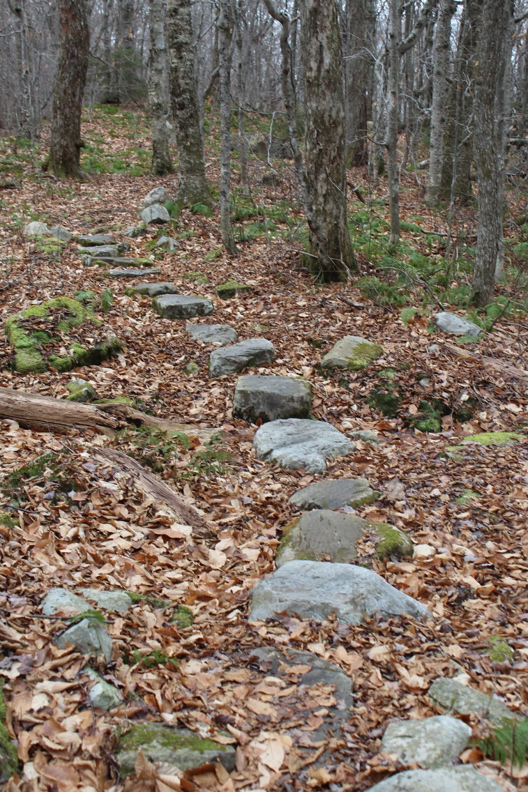
Rocky climbing.

First view point of the day is a fine one south over the valley.
South east views towards the nearby hills.  Looking carefully you can see houses built far up the peaks.
Continuing a steady incline north past the first viewpoint.
A nice part of hiking this time of year is that there are almost constant views through the bare trees.  Here is a view to the north.
Scrub Oak?
Views to the nearby rolling peaks though the trees.
Heading up the steep, rocky southeast facing slopes of Cobble Mountain.
Nearing Cobble Mountain's summit.
The Macedonia Ridge Trail climbs right up to the summit of 1365 foot Cobble Mountain with nice views back to the south and east just below the summit.
A panorama to the south and west from a summit ledge.
Looking west at nearby East Mountain's long ridge line just over the NY state line.
Expansive views to the west towards New York unfold before you from the summit rocks.
Nearby cliffs to the northwest in South Amenia, NY.
There have been some cold nights recently as indicated by patches of ice in shaded areas.
Descending off Cobble Mountain.
The descent starts gradually but begins getting steeper.
This hike is usually recommended by starting from the east and ascending these cliffs to avoid this treacherous descent.  This part of the descent was one of the steepest areas I have ever had to hike.  I can imagine it could be a real nightmare in wet or icy weather.
The picture may not do justice to this steep, rocky cliff area, but the trail basically goes straight down the rocks about 30 feet.
My advice to anyone doing this hike and descending this area would be to take your time and be very careful.  It is a very tricky spot.
After the steep descent, the trail quickly begins to climb up another ridge to more views.
The blue marked trail soon heads steeply down to paved Chippewala Road and crosses it to the north where the trail widens to a very wide old road, lined with stone walls. Follow this for a short distance towards another road crossing at gravel Weber Road near Hilltop Pond.
Once past Weber Road, the trail immediately begins climbing steeply once again.
This trail sign is being eaten by the tree.
After another ascent and descent continue towards beautiful Macedonia Brook in the afternoon sun.  Cross the bridge on Keeler Road over the brook here and look for the trail markers on the south side of the road once again.
The trail emerges at Appalachian Road, an old woods road, which climbs steadily to the east before re entering the woods. 
 Once back on the single lane foot trail, there is one last steep climb up the last hill of the day.  Even though it was only 2pm, the late November sun was barely above the ridge line from here, reminding me that the sun would be setting again way too early.
Continuing south along the unnamed ridgeline on the east side of the park.
More views through the trees on the last peak of the day. 
This hike really took me by surprise and was much more strenuous than I expected.  Hiked 6.4 miles RT over 4 peaks with many steep ups and downs on a carpet of leaves.  Can't complain about the fantastic November weather we have been blessed with.