Snowy Mountain has been on my "to do" list for quite some time, but it always seems to get pushed off for another hike. I figured today would be a good day to head north to hike the 3899 foot mountain and its fire tower, and perhaps catch a glimpse at some early fall colors. This is a popular hike because it is the tallest mountain in all of the southern Adirondacks but even more importantly, its trailhead is located right off busy Route 30. As I pulled into the parking area this morning, there were five cars there already. Not bad for a cloudy Wednesday in late September. After crossing Route 30 to the west, I entered the woods and began my hike.
Crossing a stretch of puncheon where muddy conditions usually persist. Dry today though.
Just over a mile into the hike is a crossing over Beaver Brook. The brook is easily crossed by rock hopping.
The first 2+ miles of the hike have some moderate ups and downs, but very little sustained climbing of any kind. In fact, it is a very relaxing walk in the woods along a very well marked trail.
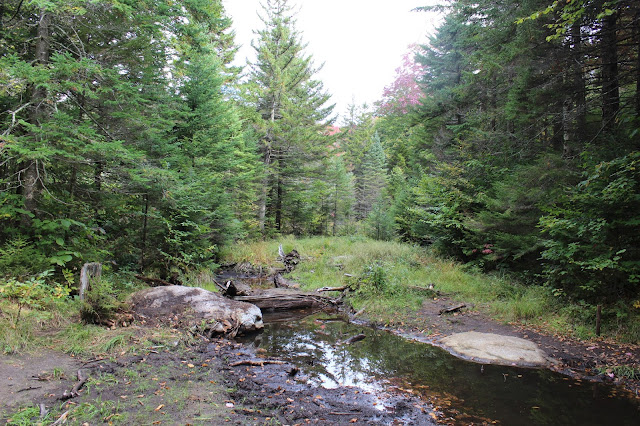
Crossing over a small backwater area.
After recrossing Beaver Brook two more times, the real climbing finally begins. I had it marked at about 2400 feet and 2.4 miles into the hike at this point.
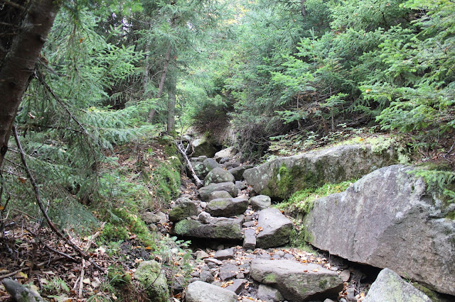
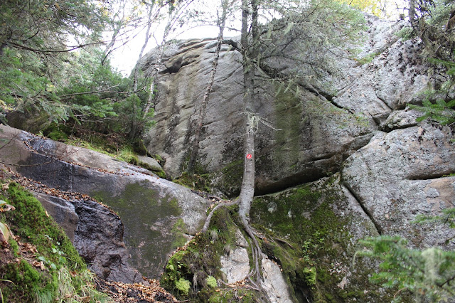
After about 3 miles, the trail emerges into a steep, rocky ascent. It is from here on that the climbing becomes much more difficult.
Climbing up through a washed out area of the trail.
Looking back on some of the nearly vertical climbing on wet rocks provides some of the very first views of the day.
Steady climbing persists.
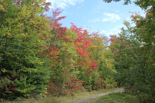
Fall colors along the upper reaches of the trail.
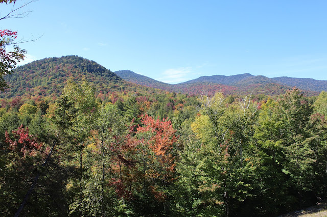
Nearby peaks are framed by fall colors as the climb heads up and over 3500 feet.
One of the last steep, pushes towards the top.
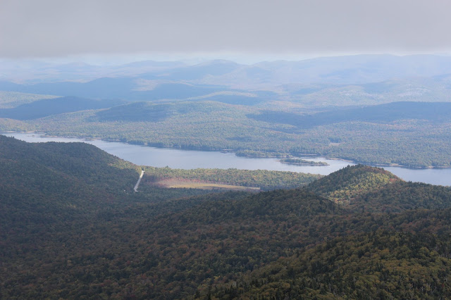
Emerging at a wide open clearing, with nice views east down towards Indian Lake. Continue on the last .1 of a mile to the fire tower, as the views only get better from here.
After 3.6 miles and 2,050 feet elevation gain I arrived at the summit. There are no views from the 3899 foot summit, but fortunately, a 50 foot fire tower does provide views.
The summit tower was almost completely shrouded in clouds and winds were really whipping making me glad I had brought my North Face along.
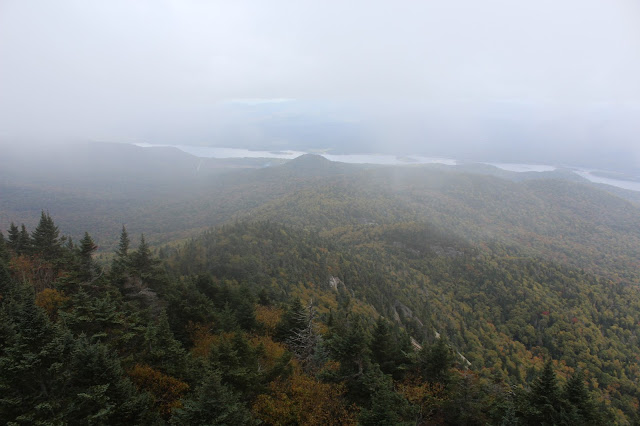
It was very interesting to watch the weather all around me, as you could see the clouds rolling up from the valley floor and right past the fire tower.
Swirling clouds and strong winds.
I apologize for the amount of photos, but over the next 45 minutes I stood in the fire tower, watching the clouds move in and then move out only to repeat again. My hands were freezing after this amount of time up there, but the ever changing views were absolutely worth it.
A hint of blue skies!
Finally!
Incredibly, I didn't see anyone else at the top the entire time I was there! After exploring much of the summit area, I finally retraced my steps back off the mountain, being very careful along the steep stretch just below the summit.
Great views on the way down.
Skies continued to clear out as I made my down the mountain, allowing me to enjoy the early fall colors a bit more.
Once off the steepest parts of the mountain, I made real good time hiking back out to the car. 7.2 miles RT.


