Search This Blog

Tuesday, January 31, 2017

Spruce & Hemlock Mountains(Catskills)

Met up with my buddy Jim at the Slide Mountain parking area along County Route 47 early in the morning with the intentions of hitting a couple more Catskill Hundred Highest peaks.  The goal was to leave my car at the Slide parking area and then drive Jim's vehicle to a spot further southwest along 47, and start from there.  We intended to bushwhack to Spruce Mountain and Winnisook Lake Mountain.  This was adventure #1 for the day as Jim couldn't find an area to pull his vehicle off.  So, he got creative and parked off partially on the snow bank being sure to keep the car off the road.  Adventure #2 was the impending clipper snow storm knocking on the door.  Starting at an elevation of about 2200 feet, we crossed the road and headed north into the woods.
Almost as soon as we began the hike, a light snow broke out.  Fortunately, a hard base with only a couple inches of fluffy snow on top made for easy going.
 Heading up the south-southwest slopes of Spruce Mountain we hit some challenging bands of rock walls.
 We decided to head up a fairly direct route, which is where the micro spikes came in handy.
 A glance back over our shoulders provided a glimpse through the trees towards Hemlock Mountain.
 Interestingly enough, Spruce Mountain is nearly 100% hardwoods.  Until we found a very small patch near the summit.
 A steady snow and stronger winds greeted us at the 3380 foot summit of Spruce Mountain.
 We dropped down to the col between Spruce and Hemlock Mountain's as the snow picked up in intensity.
 The nondescript 3248 summit of Hemlock Mountain.  Unfortunately there is not enough prominence for Hemlock Mountain to count as its own peak. 
 After reaching Hemlock Mountain's summit, Jim continued on to Winnisook Lake Mountain, but the increasing snowfall rate made me reconsider.  I opted to bail out here, dropping off Hemlock Mountain's southeast slopes back towards Route 47.  I had to butt slide in a couple of very steep spots and unfortunately lost a pole on one steep descent.  Once back down towards the road, I enjoyed a nice winter view southeast through a steady snow.
 Even caught a glimpse of the sun, through the steady light snow.
 Walked about a third of a mile along County Route 47 towards my car at the Slide parking area, passing by a picturesque small stream.
 Hiking a quiet stretch along County Route 47 under a steady light snowfall. 
Hiked about 3.5 miles RT with nearly 1200 feet elevation gain.  My 60th Catskill Hundred Highest in the bag.

Saturday, January 28, 2017

Papscanee Island Nature Preserve(East Greenbush)

Kalli, Bella and I went for a short walk at the 156 acre Papscanee Island Nature Preserve, located along the west banks of the Hudson River in the towns of East Greenbush and Schodack.  We parked at then end of American Oil Road on the north end of the Preserve in East Greenbush.  Passing by the Preserve sign and kiosk, the trail is wide and obvious passing through a tunnel like section of trees.
 Once out of the trees, the trail continues south along an extension of American Oil Road through farm fields.
 Bella enjoying the relatively mild winter afternoon.
 We continued to a side trail which heads directly west to the Hudson River.  From there we followed a green loop trail down to a "beach" area.  Here's a look at the Bethlehem Power Plant across the river to the northwest.
 Looking downstream to the south.
 There are many vines wrapped around trees near the river, and this one in particular looked like a rope to me.
Turned around, retracing our steps back to the car for a little over 2 miles RT.

Monday, January 23, 2017

Keep Conservation Preserve(Germantown)

Visited the 143 acre Keep Conservation Preserve in southern Columbia County late Monday afternoon with the puppy.  I was anxious to get out, because I had been laid up the past several days with a pretty bad head cold...and Bella is always anxious to get out.  We parked in the muddy parking area(which is really just a small clearing in a field), and were lucky not to get stuck. The parking area can be found on the north side of County Route 8, 1.7 miles east of the 9G intersection in Germantown.  Trails begin straight ahead just beyond a kiosk with trail map.
Crossing a small creek.
 Unfortunately, this would be a very wet and muddy walk.  Here's a glimpse of what much of the trails looked like.
 The trails west and north are a bit higher and more woodsy, meaning they were quite a bit drier and made for much more enjoyable walking.
 Bella was enjoying getting in touch with nature.
 We wandered the many trails throughout the preserve, which are all pretty well marked.  If you do plan to visit, please be aware that there a couple of trails that dead end, including the Creek Trail.
 The calm before the storm.  The somber January woods, just prior to a major winter storm moving in this evening.
 This preserve is very popular with bird watchers and there are several benches placed throughout which afford relaxing opportunities to get in touch with the surroundings.
Dark clouds rolling in ahead of our Noreaster.  Something about this white birch standing alone in the gloomy winter setting made me pause.
Much of this preserve passes through open fields, which means that it is usually quite windy and cold.  On the other hand, summer walking would mean there isn't a lot of shade on the hot, humid days. We hiked about 2 miles RT and both arrived back at the car, covered in mud. 

Tuesday, January 17, 2017

Shaker Mountain, Doll Mountain, Holy Mount(Pittsfield State Forest-Brkshires)

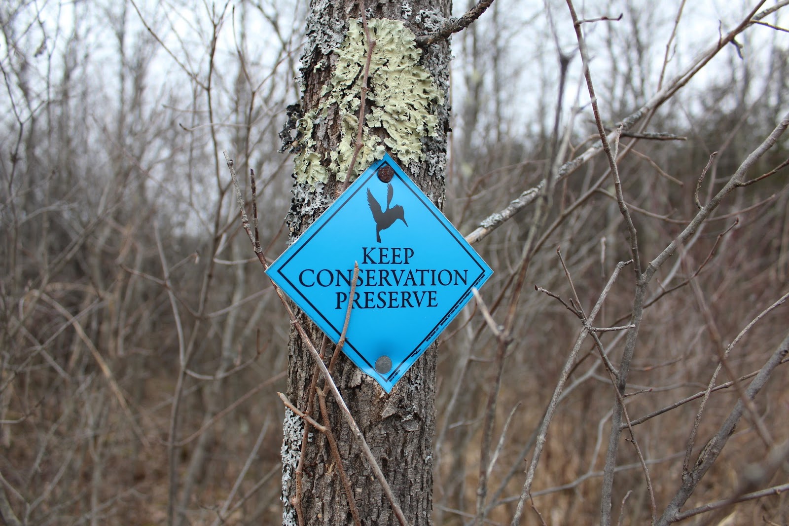
Another Tuesday off and yet another stormy Tuesday in the forecast.  Looked like I had a window in the morning to get out for a local hike, so I headed just over the NY/Mass state line to the Hancock Shaker Village to hike the Shaker Mountain Trail.  Parked in the pull off along the north side of Route 20 across from the Shaker Village.  Elevation at the trail head was 1185 feet.
 The trail starts just beyond the gate and heads north on an old cart road used by the Shakers. An opening in the trees provides a good glimpse back at the beautiful buildings in the Hancock Shaker Village.
 
 The trail was basically a sheet of ice, but I managed without the micro spikes.
 
 Passing by the Shaker Reservoir, which was originally built in 1818 and then enlarged in 1894.
Continuing north, the trail soon meets up with Shaker Brook and closely follows it.
Nearly half a mile into the hike, the trail arrives at the Low Dam, which was built before 1818 and supplied North Family mills on the east side of the creek just downstream.
  Just beyond the Low Dam and roughly half a mile into the hike, the trail crosses Shaker Brook on a sturdy foot bridge.
 After crossing the brook, the trail turns back south heading past the old North Family dwelling(there are no remains today) and then turns sharply uphill left heading towards Shaker Mountain.  The ascent is slow but steady and eventually crosses under power lines, providing a glimpse south.
 Although snow free for most of the hike at this point, I began to see quite a bit of snow above 1700 feet.
 Approaching the summit area, I arrived at the Holy Ground, a large area of worship for the Shakers.
 A pair of small white fences mark the main area of worship.
 I left the trail to bushwhack a short distance east to the true summit of Shaker Mountain at an elevation of 1860 feet.  Unfortunately, the summit is completely wooded with no views.
 A cell tower near the true summit of Shaker Mountain.
 I continued to bushwhack the east side of the summit area, hoping to catch a decent view through the leafless trees.  The best spot I could find was a sliver of a view down towards Onota Lake in Pittsfield.
 Once back on the trail, I headed north and found a screened view west towards Mount Lebanon's holy site, 1968 foot Holy Mount.  The area between the two mountains was referred to as the "great gulf" and can be seen in this shot.
 Dropping down off the north side of Shaker Mountain, the woods become much more wintry and passes through an impressive white birch stand.
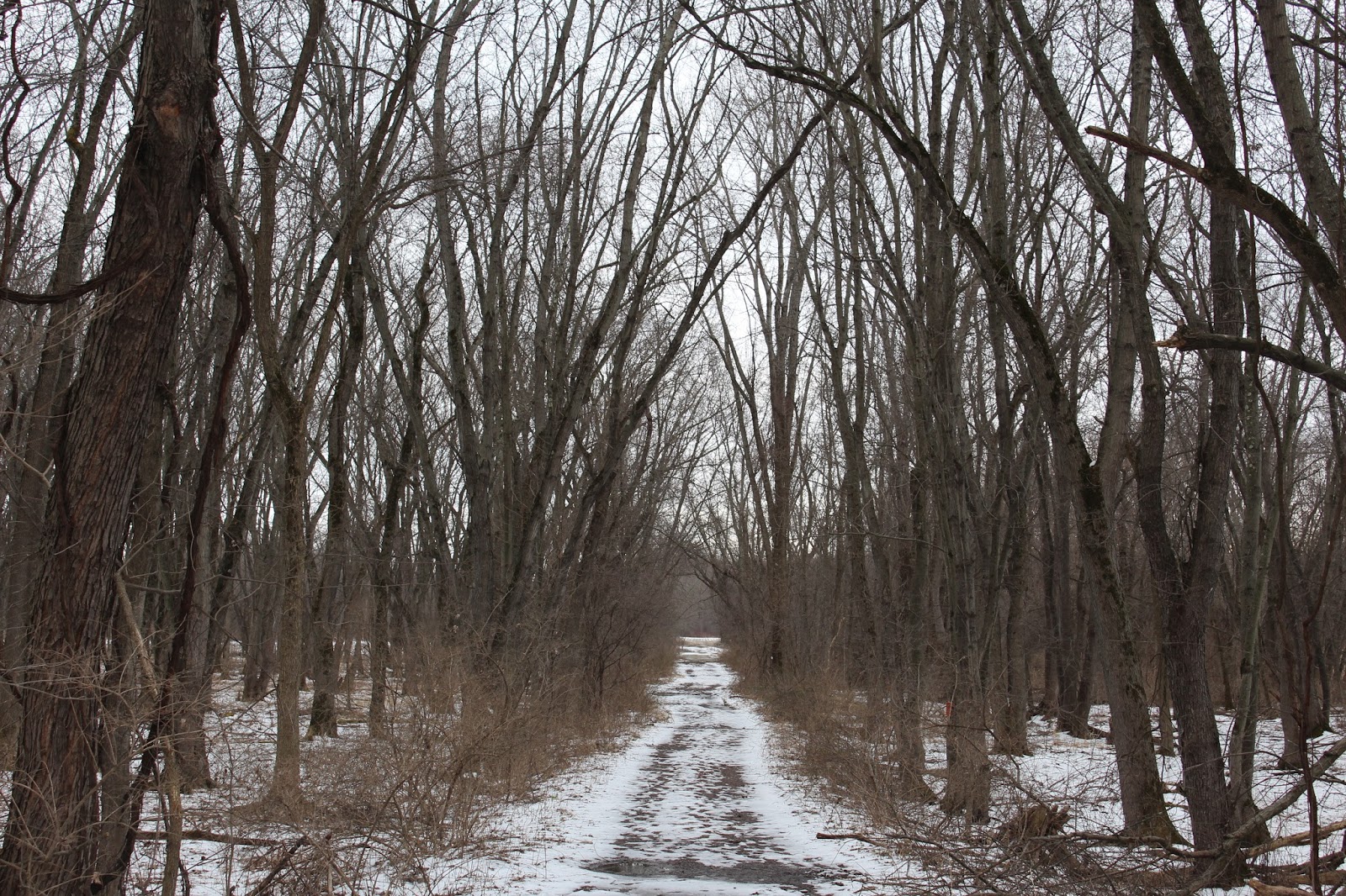
 The Shaker Mountain Trail arrives at an intersection with the CCC(Civilian Conservation Corps)Trail and then almost immediately at another intersection, where I turned right onto the Shaker Brook Trail.  This trail heads west through the deep forest, passing by old stone walls.
 Seeing that I was only about half a mile below Doll Mountain's summit, I decided to leave the trail and bushwhack up the south facing slopes towards the summit.  The bushwhack is pretty straight forward and passed through a gorgeous, deep, dark hemlock forest.
 I decided to skirt the east slopes of Doll Mountain's summit area, and found filtered views down towards West Street in Pittsfield.
 The 1930 foot summit of Doll Mountain is completely wooded and fairly level.  I stomped around through the woods hoping to find high ground and settled on this dark, snow covered area.
 Headed southwest off Doll Mountain's slopes, passing through an open hardwood forest and once again remains of stone walls.
 At a low point between Doll Mountain and Holy Mount, I arrived at one of the branches of wintry Shaker Brook, winding through woods.
 Ice on the brook.
 I soon arrived back at the Shaker Brook Trail, which was very muddy and icy in other spots. Followed this a short distance west to the Holy Mount Trail.
 The Holy Mount Trail heads south, ascending nearly 300 feet towards the summit.  The stone walls on this peak are very impressive.
 Stone walls near the wooded 1930 foot summit of Holy Mount.  As stated earlier, this was the worshiping ground for Mount Lebanon's Shaker community.
 After exploring the Holy Mount summit, I dropped west then south through the quiet winter woods.  Arrived at an area known as "The Sacred Lot", the site of a spring and natural amphitheater.
  The Holy Mount Trail meets up with the Griffin Trail, which heads east above an impressive gorge, carved out by a branch of Shaker Brook.
 The Griffin Trail soon meets with The Shaker Trail and becomes quite intimate with this branch of the Shaker Brook.  I paused here to enjoy the sounds of the cold rushing water.
 Heading south, I soon came to another historical marker for an old marble quarry.  The Shakers used this location for building materials and can be found a short distance off the main trail.  Unfortunately, the wintry woods made it difficult to see too much.
 Arriving back along the banks of Shaker Brook, I began to feel a light freezing drizzle.  Perfect timing to head home.
 Hiked about 7 miles RT, with an elevation gain of just under 1300 feet.