Did some exploring in a quiet corner of the Moreau Lake State Park, starting at the very end of Potter Road at the north end of Palmertown Mountain(Elevation 415 feet). Walked the access road for about 1/10 of a mile before turning onto an unmarked path, which drops down to the Hudson River. I was greeted there with scenic river views, as well as a little bit of ice in a couple tiny coves.
From Potter Point, looking back upstream.
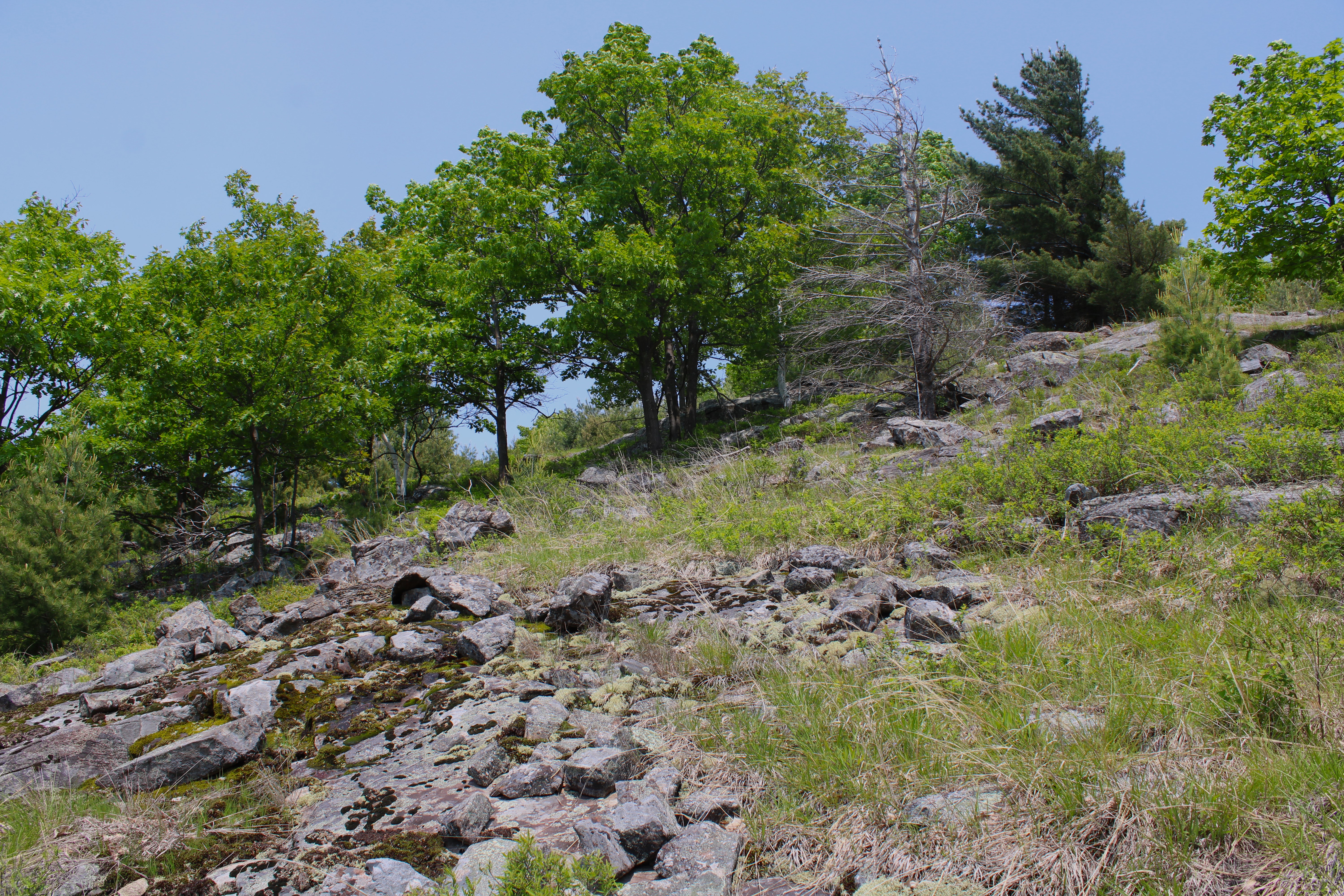
After enjoying Potter Point and the Hudson River, I headed back up to the access road, and then walked west for a little over 1/3 of a mile, before heading south into the open woods. Within just a few moments, I found myself climbing steeply up Palmertown Mountain's slopes on another unmarked path. I left the path fairly quickly, opting to bushwhack and explore the terrain instead.
After a short but steep ascent, I swung over towards the western slopes of the mountain, which drop off dramatically down towards the river. The woods were very open and easy to navigate.

Arriving at the first view spot, with very nice views west across the Hudson River.
SW views up the Hudson River, with Palmertown Range and Spier Falls Road left.
From the view spot, I took an ATV trail east, climbing up towards Palmertown's wooded 1040 foot summit, which sits off trail and is marked with pink flagging.

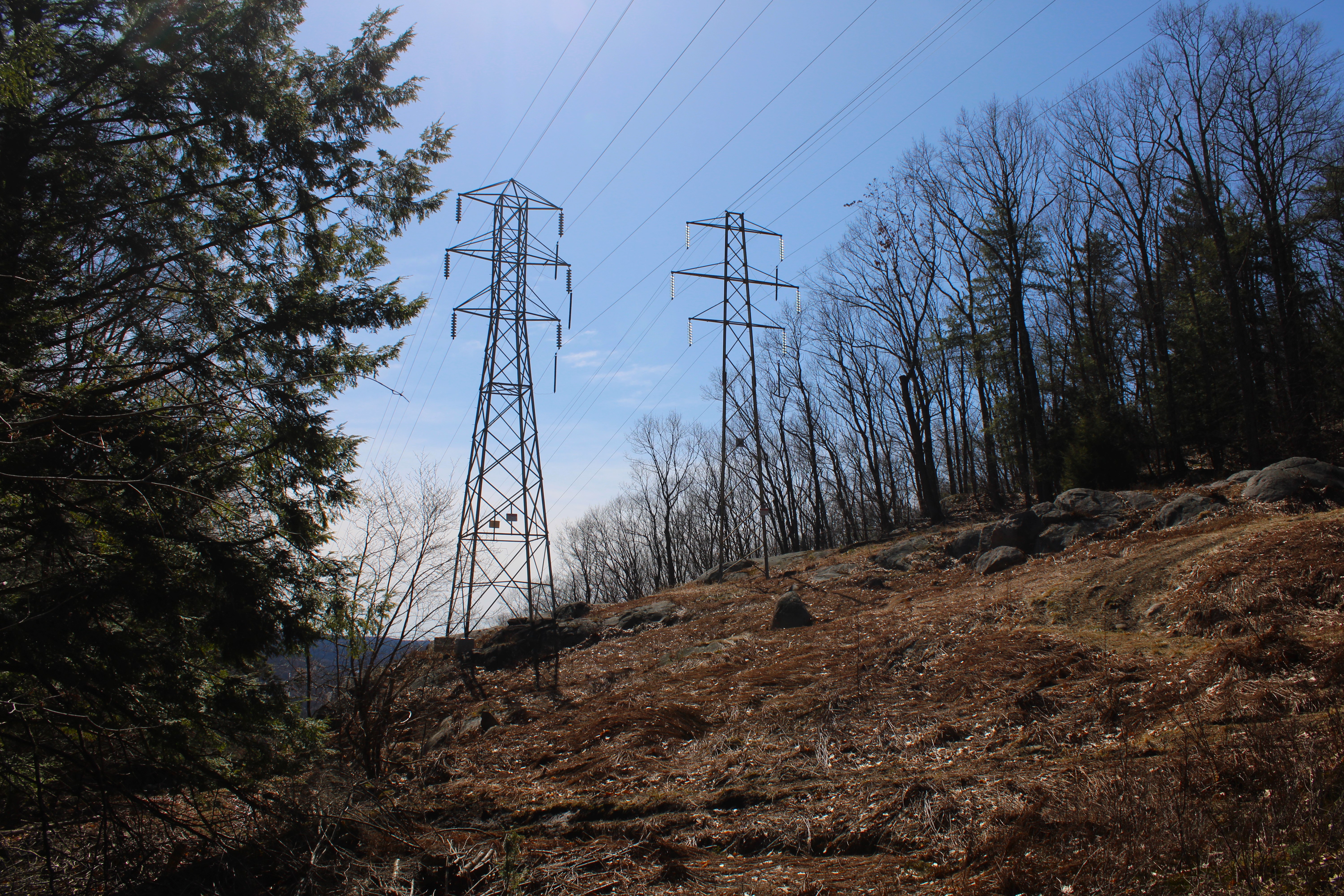
Back on the ATV trail, I continued my way south along the ridge, crossing the power lines.
Just beyond the power lines, a short climb up brings you to another good view spot, with a glimpse SW towards the Hudson.
From the same vantage point, the view west towards the mountains around Corinth.
Back on the ATV trail, continuing my way south towards the next high spot on the ridge.

Leaving the trail, I headed down towards a steep, rocky area of ledges below the high spot.
From the ledges, the view SW looks directly down towards the Spier Falls Dam, with Grant Mountain left.
The view west is quite nice from the area of off trail ledges.
A steep climb brought me back up to the ATV trail, which I utilized to make my way back north along the ridge. Near the north end of the summit ridge, I left the trail and bushwhacked my way back down to the access road, which I then followed all the way back to my car. A wonderful spring day and fun little adventure. Covered about 4.3 miles RT, with 900 feet of ascent.
Map Below. Blue P=Parking Blue X's=Views