Kalli and I both had the day off and were anxious to get out into the Catskills for some hiking on a sunny Tuesday morning. Our first stop was the Kaaterskill Falls trail along Route 23A on the north side of Kaaterskill Clove. Unfortunately, parking is located about .3 of a mile further up the road, which means that you must walk back down along the road to the actual trail entrance. The view of the Clove itself from the parking area is phenomenal. The road can be seen snaking along through the trees.
Care must be taken when crossing the road from the parking area. We chose to stay on the safe side of the guardrails as much as we could.
Once arriving at the trail, you cannot miss the first set of falls(which is NOT Kaaterskill Falls) which are clearly visible from Route 23A. These falls are called Bastion Falls, and are a great prelude to the larger falls further upstream.
The falls actually come down in three tiers, dropping an estimated 71 feet total.
Continuing on the trail following Spruce Creek for about a half mile, you arrive at Kaaterskill Falls incredible 260 foot drop over dual cascades .
Breathtaking!
The trail back along the creek is very pleasant, with a few ups and downs and marked with yellow blazes.
We each took turns rock hopping onto Spruce Creek for views of the cascading waters.
Easily the busiest trail in the entire Catskill Park, we were surprised to only pass a couple of people on the return to the car. Total mileage for this short hike was 1.6 RT.
Our next destination was 3840 foot Plateau Mountain along the Devils Path. After leaving the falls, we headed west along 23A for several miles through Tannersville and then turned onto Route 214 south to Notch Lake, located in Stony Clove. We parked at the lake, where the view of the notch between Hunter and Plateau Mountain is truly remarkable.
The red marked Devils Path trail leading up Plateau Mountain is found directly across the road from the parking area, where a series of steps leads up into the woods.
The trail immediately begins to climb once in the woods, very steeply at times.
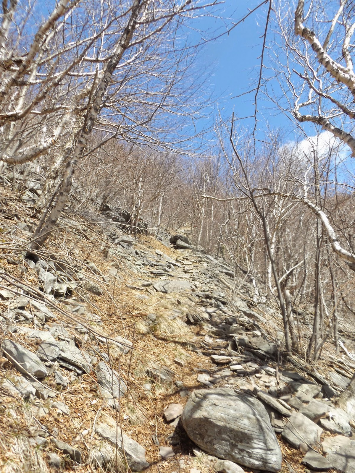
A typical, rocky section of the steep Devil's Path, which climbs over 1600 feet in the first 1.2 miles.
More climbing!
We were treated to some view points to the south and west through Stony Clove and far, far beyond.
The first signs of snow, at around 3300 feet in elevation.
The 3500 foot sign as we neared Orchard Point.
The final rocky climb up to Orchard Point.
A breathtaking panorama to the west from Orchard Point.
Blue skies and puffy clouds over Hunter Mountain. Hunter's fire tower can be seen with a keen eye, as well as the ski slopes beyond the shoulder of the mountain.
Looking back up at the evergreens near Orchard Point.
South facing views.
Remarkable views!!!
We relaxed at Orchard Point, enjoying lunch and our views.
After finally leaving Orchard Point, we continued along the Devils Path for another .15 miles to Danny's Lookout, which offered incredible views to the north and east with Roundtop and Kaaterskill High Peak clearly visible.
On top of the world.
Loved these rocks at the lookout.
The Blackhead Range is clearly visible to the north from this incredible view point.
An incredible panorama from Danny's Lookout to the north and east.
After Danny's Lookout, we continued on the flat, Plateau like summit area for about 1.7 miles. The woods became much more winter like with snow and ice all around.
Typical trail conditions along Pleateau's long summit ridge.
The trail passed through a deep evergreen forest for quite a distance with no views other than the dark woods and icy/ snowy trail.
My GPS gave this area as the closest spot on the trail to the summit at around 3840 feet in elevation. The true summit is several yards off the trail here and in the woods.
Nearing the Orchard Point Lookout on the way back, we noticed some light sprinkles and dark clouds rolling in. We picked up the pace a bit just to make sure we didn't get caught in any rain.
The hike back down the mountain was steep and rocky and was tough on our legs. We were glad to be back to the car after 6 miles RT and 7.6 miles RT for the day.