Spent the better part of this weekend in the small city of Little Falls in Central New York for a friend's wedding. Early Saturday morning I had a window to get out and explore a local National Natural Landmark known as Moss Island. Moss Island is a finger like island that is accessed from Lock 17 and is bordered by the Mohawk River to the north and the Erie Canal to the south. Access is available just south of the Route 167 bridge on a small unmarked road that leads to a parking lot directly under the bridge. The view directly across the river.
Directly below the route 167 bridge that crosses over the river.
Just left of the parking lot is Erie Canal Lock 36, which predates the old Erie Canal by several decades.
Constructed in 1795, the lock still remains today, although filled with grass and weeds instead of water.
Walking through the 12x74 foot long canal is an opportunity to get a good look at the craftmanship of the late 18th century.
Just beyond Lock 36, you pass several informational boards as well as an access ramp to the Erie Canalway Trail before arriving at Lock 17. Lock 17 was built over the course of several years in the early 20th century(1908-1916), and was the highest lift-lock in the world at the time of its construction.
You must take the metal stairway up and over the lock to access the island. I was lucky enough to spot a pleasure boat on its approach to the lock.
One of the treats of this time of year are the assortment of wildflowers all around.
After leaving the Lock 17 area behind, you come across another informational board before an unmarked foot path heads into the woods. There are a plethora of paths that criss-cross through the woods, but it is nearly impossible to get lost. A small rock area provides a nice perch to view the Mohawk River.
The north side of the island is well known for its incredible rock formations and glacial potholes. You can feel free to explore in and out of the rock crevices.
One word that comes to mind when visiting this area is cool or neat. These glacial rock formations are thousands of years and range between five and thirty feet deep.
There are an interesting number of sculpted rocks to climb in or out of.
Part of the island's rocky north side juts out directly into the river.
I rock hopped down to the shoreline, where the true size and mass of these rock formations can be realized.
A small, sandy beach like area provides a nice quiet spot on the Mohawk.
Another amazing "pothole", with almost perfect circular sculpting.
More steep rock crevises, some higher than a two story building.
After exploring many of the nooks and crannies of the island's north side, I crossed over to the south side of the island, where rock cliffs tower over 30 feet above the Erie Canal.
I wandered along these rock cliffs for a bit, where there are nice views north and west to a Hydro Electical Plant and the city of Little Falls.
From the top of the cliffs are a straight 30 foot drop down. This area is extremely popular with rock climbers.
From ground level, a view of Profile Rock's 30 foot rock face.
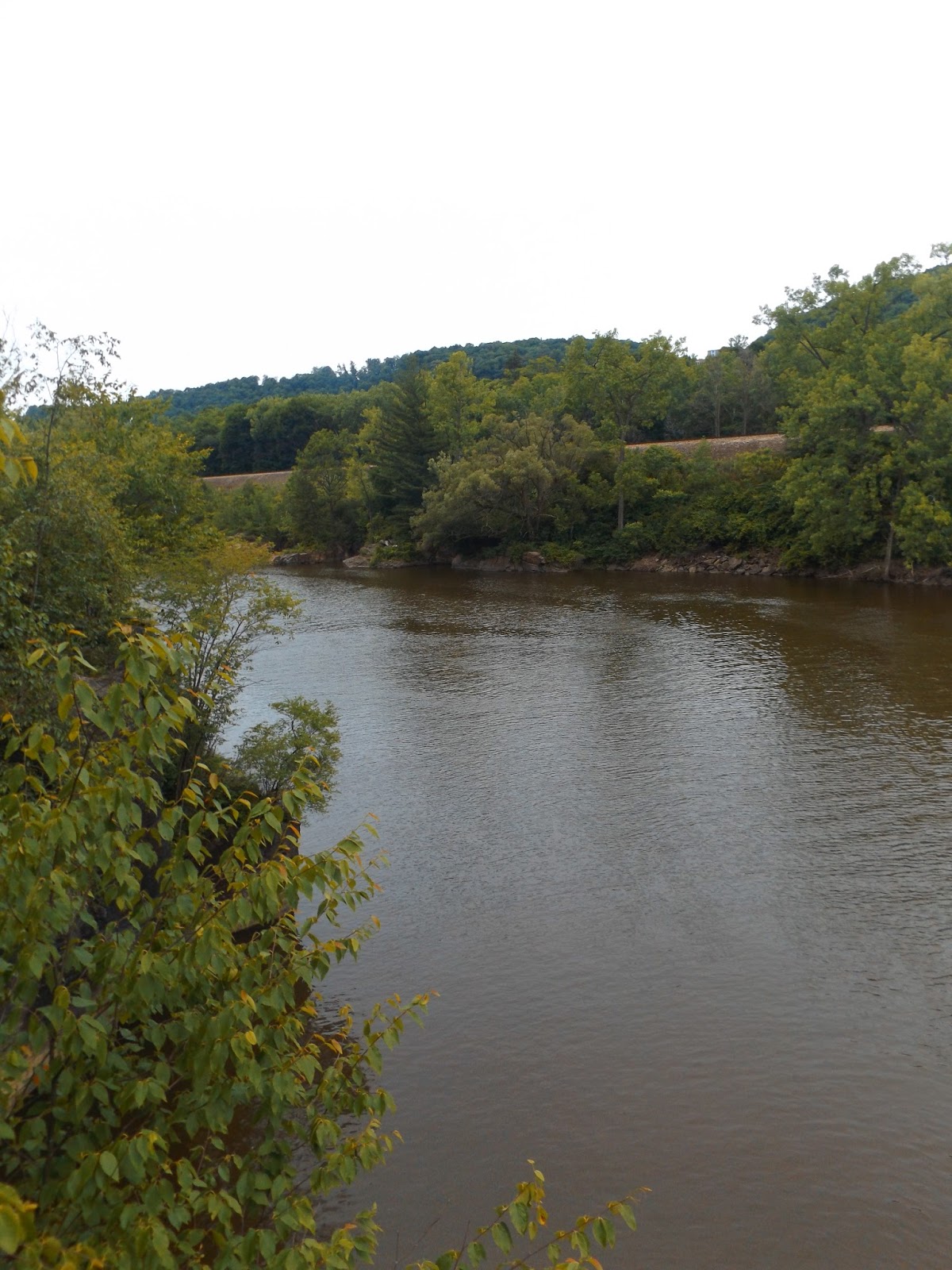
Recent heavy rains have muddied up the Mohawk River. To the left is the eastern edge of Moss Island.
After exploring Moss Island and part of the Erie Canalway Trail, I hopped into the car and drove over an area known as Canal Place. This is a great spot for a walk or even to dine and shop. The Erie Canal runs by a quiet spot known as Bentons Landing.
The Inn at Stone Mill, built all the way back in 1836, still stands proudly today.
There is much to do in Little Falls.
Old buildings lining the River's edge.
Upstream from the bridge is a glimpse of small falls and cascades, with former buildings of industry lining the north banks.
At this spot, looking downstream is a view of the 274 foot aqueduct at Little Falls. It was built all the way back in 1822 and was abandoned in 1881.
All that remains today is a part of the south arch, which is clearly visible from the Canal Place bridge.
These houses along the Erie Canal must have an interesting perspective. The basements are actually nearly at water level.
It was nice to get out and explore the small city of Little Falls for a few hours on a cloudy Saturday morning. Walked about 2.5 miles total, with many stops along the way.