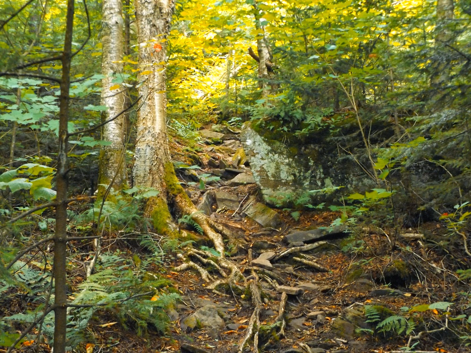
Had the day off work so went north to hike Black Mountain on the east shore of Lake George. Black Mountain, at 2646 feet, is the highest peak rimming the Lake George shoreline. There are a couple of different ways to the summit, but I chose to come up from Pike Brook Road trailhead on the east side of the mountain. There were a few cars in the parking lot, but quiet walking to start the hike. The trail actually follows an emergency access road for the first .7 of a mile to a private residence before entering the woods.
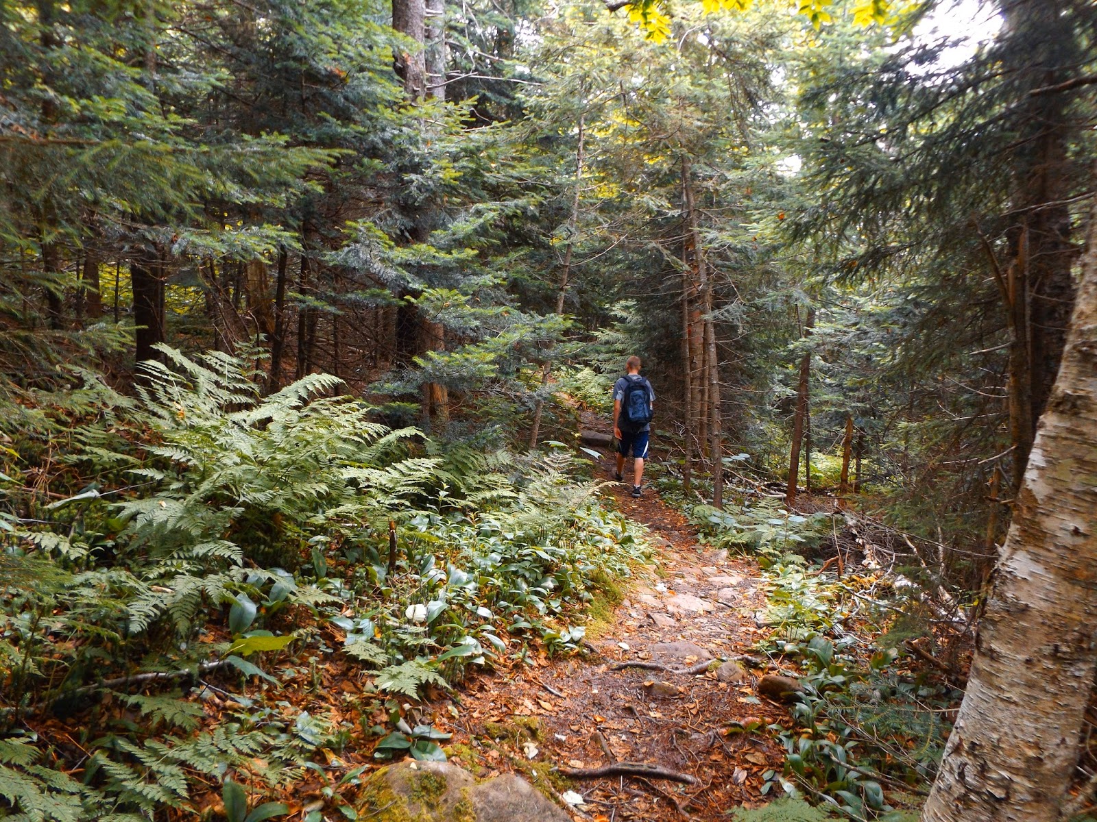
The trail isn't overly steep but there are some rocky areas where you do climb.
The ascent gets steeper the closer you get to the summit area.
As you arrive at the summit area, you quickly notice the communication tower.
The vista from the summit(the rocky ledge just below the true summit) is nothing short of spectacular. Looking directly down Lake George with numerous peaks surrounding the shoreline.
The day was pleasantly cool for July with temps in the low 70's and low humidity.
Soaking in the views on a beautiful summer day.
A view directly north up Lake George.
Looking directly east far into Vermont.
Deer Leap rising directly above Vicars Island and the Harbor Islands below.
Beautiful panoramic view.
Looking up at the summit tower.
The rocky summit rises just above the ledge.
These views are some of the best in Adirondacks.
The Tongue Mountain Range can be seen rising to the west of the lake.
Elephant Mountain is in the foreground with Spruce Mountain and other distant peaks rising to the north.
Panorama from rocky summit.
A view to the west coming down Black Mountain towards Black Mountain Point. The descent passed through wet, overgrown areas, at times quite steeply.
A great view of the Narrows south from a ledge on a shoulder of the mountain.
The many, many islands located in the Narrows. Notice all of the power boats zooming around in the water.
This ledge made a perfect spot to stop, relax and drink some water.
A nice view to the east from the ledge.
The Tongue Mountain Range sprawls before you with (L-R) First Peak, French Point Mountain,Fifth Peak)
After continuing along the trail for a mile, you arrive at a trail junction. 2 miles west is Black Mountain Point. I followed the loop trail another .3 mile to Black Mountain Pond.
Black Mountain Pond Lean To, perched atop a rocky hill.
Back down at the shoreline of Black Mountain Pond.
The trail between the Black Mountain Ponds is a bit overgrown in spots.
About .45 mile further along the trail is the second of the Black Mountain Ponds, referred to as Round Pond by the DEC.
There are no substantial views of Round Pond, but there is a nice view across the marshy area towards Black Mountain.
Lapland Pond from its northern shore.
Just below the Lean To is a large rock which leads down to the water and provides a nice view of the pond.
Black Mountain's summit tower is clearly visible in the near distance.
A westerly view of Lapland Pond just below the Lean To.
A panoramic view of Lapland Pond.
A pleasant wooden footbridge crosses a beaver swamp.
Reflections on the beaver swamp with Black Mountain in the distance.
A very nice, not overly taxing 6.5 mile RT.
On the return home I stopped by the Orra Phelps Nature Preserve, a small 18 acre P.L.A.N. property located in the town of Wilton off exit 16 of the Northway.
The Little Snook Kill flows quietly through the preserve.
There is something very relaxing about a walk along a babbling brook.
Took back roads home, passing through rural Saratoga, Washington and Rensselaer Counties. A bucolic barn and silo on a back road in Pittstown.
Pittstown backroads.