Search This Blog

Friday, November 29, 2013

Moreau Lake State Park

Headed north on Black Friday to get far away from the crowds and into the woods of Moreau Lake State Park.  The popular park is just south of Glens Falls covering 4,100 acres and offers nearly 20 miles of hiking trails, including access to Moreau Lake and the Hudson River near Spier Falls Dam.
 Parked at the front gate and walked down to Moreau Lake.  The lakeside trail is exactly what it suggests, following the shoreline of the lake very closely.  With temps in the 20's, I kept a brisk pace all the way around to the beach area.  While very popular during the summer season, this time of year the beach is almost completely vacant.
 Sandy beach
 I then looped back to the Red Oak Ridge trail, which is a nice walk through the woods.
 A trail off of the Red Oak Ridge trail leads to an overlook area.  The overlook trail is less than a half mile up, but very steep most of the way.  I had worked up a pretty good sweat, but the views are outstanding, making all the hard work well worth it.  Views are easterly over Moreau Lake and into the Hudson River valley.
 Rural Saratoga and Washington County with the Green Mountains of Vermont in the distance.
 Moreau Lake below the overlook.
 Vermont's Green Mountains.
 Me.
 I then followed the trails down off the ridgeline down to Mud Pond.
 Mud Pond is a much smaller lake and a bit shallower, which caused it to freeze up much quicker than the larger Moreau Lake very close by.  Palmertown Mountain Range looms above in the background,
 Cattails along Moreau Lake's shoreline.
 Moreau Lake with sunny reflections.
 A footbridge over the dammed area.
 A lone picnic table on the beach of the lake.
 Sunset Cabin directly on Moreau Lake can be rented weekly.
 The deck of the cabin provides excellent views across the lake.
 Moreau Lake's freezing waters.
 Sunset Cabin.
 The Hudson River from Spier Falls Road.
 The Palmertown Mountain Range and Spier Falls Road along the Hudson River.
I walked close to 6 miles today but the early sunset prevented me from exploring more of the park. There are plenty of other trails, including the popular Western Ridge Trail, that I would love to explore on another day.

Tuesday, November 26, 2013

Hand Hollow

The season's first snow graced the area today with nothing more than a coating to an inch, but it was enough to get everyone in full winter mode.  The snow left a gentle coat of white on everything before daybreak but the day had trended to drying out until I started driving out to Hand Hollow in the late afternoon.  Hand Hollow is a Columbia Land Conservancy property in rural New Lebanon with several miles of trails, as well as a few small beaver ponds and a larger pond, called Meizenger's Pond.  As I pulled into the parking area, the snow began to accelerate.
                       
A short walk on the well marked trail leads down to the shoreline of Meizenger's Pond.  A small bench makes a nice resting spot to relax and observe the wildlife.
 The pond is partially freezing over and the snow is covering the ice.
 A view towards the bay like area of the shore.
 The walk through the woods is very pleasant as the snow falls quietly all around you.
 There is a serenity that a walk through the freshly fallen snow has that is hard to match.
 There are two separate entrances to the property so after a short walk to Meizenger's pond, I headed back to the car and then drove back to the other parking area.  This area allows access to a large meadow and several small beaver ponds.  The view across the meadow with the snow blowing across.
 Snow falling on traffic along County Route 9.
 The quiet and solitude is hard to beat.
The first snow always brings out the child in me.

Thursday, November 21, 2013

Buck Mountain and Adirondack Waters

A sunny, cool late November day brought me into the Adirondacks and to Buck Mountain on the east side of Lake George.  Buck Mountain at 2334 feet is not a huge mountain, but it offers huge views over much of Lake George and its surrounding mountains. There are many trails on the east side of Lake George, especially in the Hogtown and Dacy Clearing area.  The trailhead for Buck Mountain is about a half mile past the large parking lot for Hogtown on Fly Pond Road.
 There are three stream crossings on the way up the mountain.
 Odd looking ice formations on the ground.
  The trail is 5.0 miles RT and mostly level with only a slight climb for the first mile or so.  The last half of the trail  begins to climb steadily and becomes very steep for the last section.  But it is well worth all the effort for the views at the summit.
The  Sagamore Hotel on the eastern shore.
 The Tongue Mountain Range to the north.
 A close up of the Tongue Mountain Range.
 Lake George views.
 Dome Island and the eastern shore of Lake George.
 The summit of Buck Mountain is mostly open and rocky with outstanding views.
 There are fantastic views to the east  from a shoulder of the mountain.
 Eastern views.
The walk back to the car through the mixed forest.
                           
Explored a bit of the southern Adirondacks after my hike, including Brant Lake.
 One of the points on Brant Lake.
 Brant Lake is a very residential area with very little public access.  Views from the northern shore.
 Looking west across Brant Lake.
 The Hudson River is very quiet in this section above Hadley.
 The sun shining on the Hudson River.
 The still waters of the Hudson River at Schofield Flats above Hadley.
 The Hudson River in this area is much, much different than areas further south.
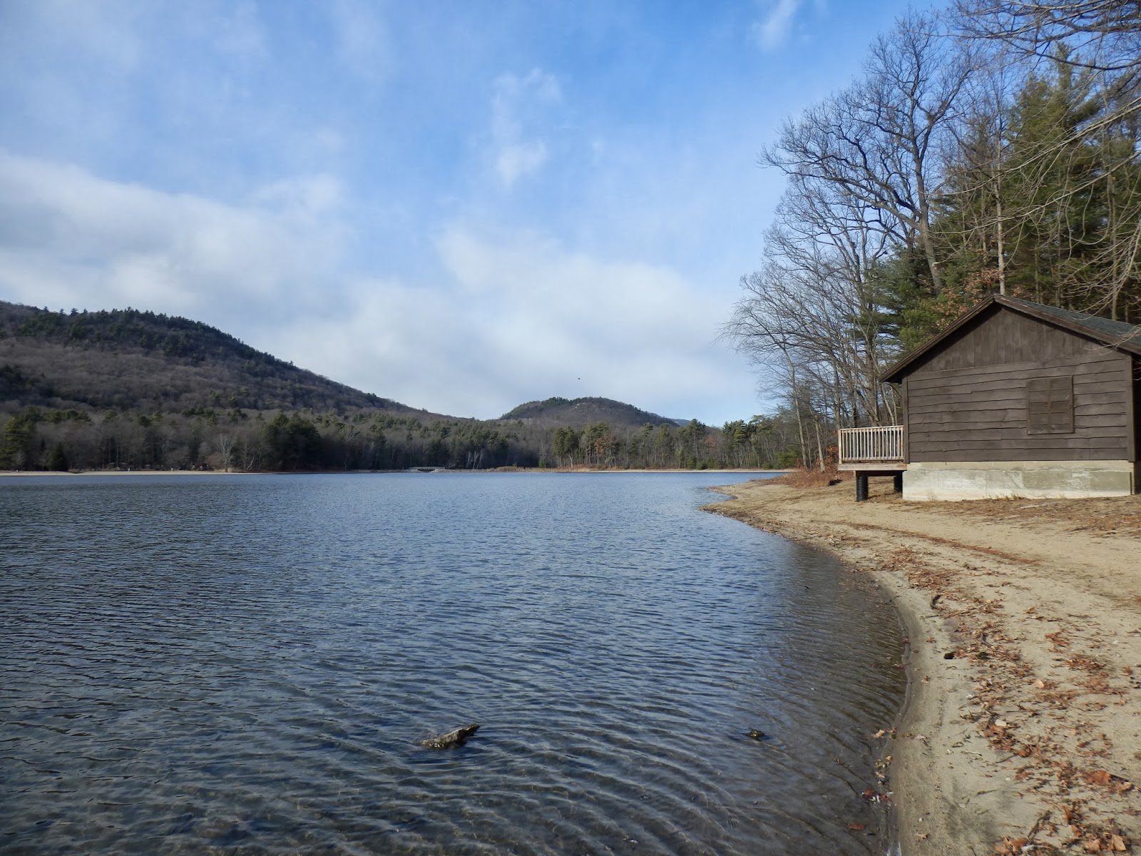
 A public access area with camping and picnic on the north shore of Stewart Pond
 Stewart Bridge Reservoir below Conkglingville Dam.
 Views west towards the dam from Stewart Bridge Reservoir.

 The Great Sacandaga Lake views from the pull off by Conkglingville Dam.
 Great Sacandaga Lake.
 Fabulous views west of the Great Sacandaga Lake, a 29 mile man made reservoir, the largest man made lake in the state.