Search This Blog

Tuesday, July 26, 2016

(South Sherrill)Mount Sherrill and North Dome Mountain(Catskills)

Stuck in the middle of a hot and sticky summer, I have been a little hesitant to go out exploring too much lately.  When I had an offer from my hiking buddy Jim to bag 3540 foot Sherrill and 3620 foot North Dome Mountains in the Catskills, however, I jumped at the chance.  These are two of the three remaining Catksill 3500 mountains that are left on my list to do, to have climbed all 35 such peaks.  Jim, having done these summits previously(multiple times), was looking for a new way approach for this bushwhack hike, so we talked it over and chose to do a thru-hike, using a shuttle.  I parked at Mink Hollow off Spruceton Road and then we drove Jim's car south along Route 42 to a small sliver of state land near Erika Drive.  This is where we parked and began our journey.  The route is pretty straightforward and tough, ascending at a steady rate through open hardwoods.
 Approaching one of the few small bands of rock cliffs along the way. 
 After about 1.7 miles we arrived at the nondescript flat summit of South Sherrill Mountain.  With an elevation 2883 feet, we had climbed roughly 1600 feet from the car.
We paused briefly at the summit(a Catskill 200 highest), and then began our descent to the northeast into the col between South Sherrill and Sherrill.  A nice breeze accompanied us along this stretch, as the woods dropped down to just under 2600 feet elevation.
 We were a bit surprised to see wildflowers blooming along the way.  We passed several areas of bee balm and coneflowers.
 The ascent up Sherill is steady, but manageable until around 3000 feet.  From there the climb began to get quite steep.
We found an old woods road and followed that up quite a ways.
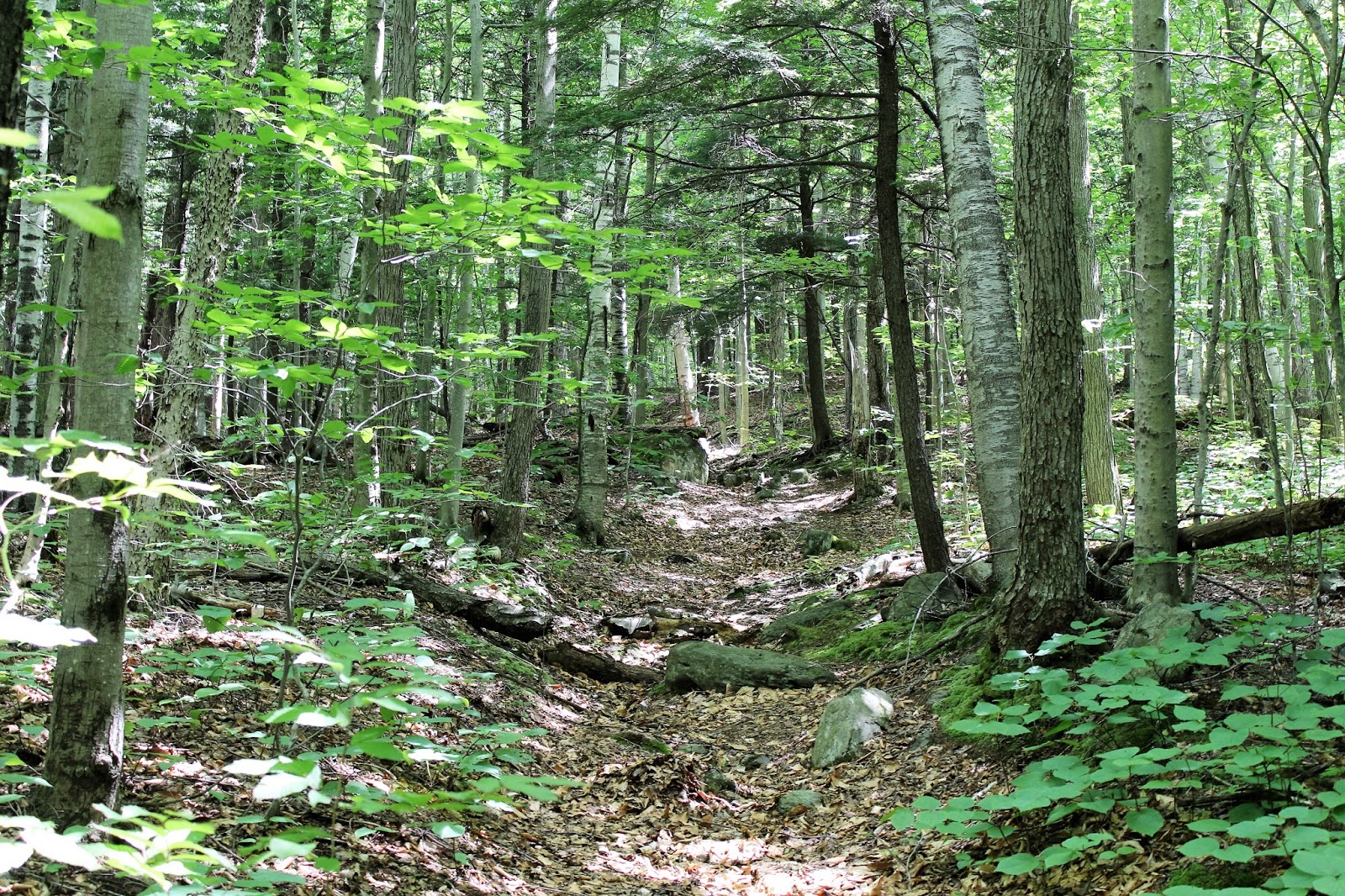
Passing through a maze of huge rocks and boulders on the Sherill's shoulder.

While following the woods road, I happened to notice an old circa 1950's school bus, parked in a small clearing.  The bus is now used as a rough shelter for hunters and campers.
Jim posing with the bus.  He was extremely pleased as this had been on his radar for quite a while and had proved elusive.
 Shattering Jim's bucket list.
The woods level out above 3400 feet and gradually ascend to the 3540 foot summit. 
 The summit canister. 
Signing in at the summit canister.  My 33rd Catskill High Peak.
We bushwhacked southeast to some of Sherrill's steep cliffs, where we were able to find this decent view.
 
The descent off Sherill's summit is about 500 feet in a little over half a mile.  Nearing the col, the slopes get a bit steeper.
 We found a neat looking break in this rock band between the two peaks.  Upon closer inspection we found...
.....an old rusted stove.  
Continuing nearly due east, the woods are mostly all hardwood until the last half mile below the summit of North Dome.  In one section, there is a really interesting, large bog.  Very rare for this elevation.
 Picking up a good herd path, the forest changes to conifer as we soon arrived at North Dome's 3620 foot summit.
 The summit canister.  This is my 34th Catskill High Peak!!  One to go!!
We dropped off the summit area, heading generally southeast on the herd path and then began bushwhacking to North Dome's southeast ledges.  A small opening in the trees provides outstanding views.  St Anne's Peak is directly across Mink Hollow, with West Kill Mountain behind that and Hunter Mountain behind that.
Sweeping 180 degree views provide a great place to stop and relax.  Here is a view southeast.
Private Timber Lake Camp sits a bit southeast, hemmed in by steep mountains in all directions.

Incredible views down into Spruceton Valley.
A close look to the south and east provides a glimpse of the Ashokan Reservoir through the peaks.
Windham High Peak poking out behind Rusk Mountain.
Cloud shadows on the north slope of St Anne's Peak.
Wildflowers growing along the steep rock face of the ledges.
The east side of North Dome is extremely steep, no matter which route you take.  The further south you go the steeper it gets, with some areas being unsafe to pass.  We found a safe route down, dropping about 1300 feet in about one mile.  From there we crossed mostly dried up Mink Hollow Brook, pausing to cool off in the cold mountain water.
Once crossing Mink Hollow Brook, we picked up the Devils Path, staying on the trail north for just over a mile, arriving back at my car.  We had a great day in the woods, bagging three summits.  Total mileage was a little over 8 miles with over 3000 feet elevation gain.


Friday, July 22, 2016

Freund Preserve(Old Chatham)

Took Bella out for a short morning walk at the 57 acre Freund Preserve on a hot summer morning.  The trail head is located along rural Pitts Road in Old Chatham, but there is no formal parking area.  We parked along the side of the road and went on our way.
 A blue marked trail heads through a mostly hardwood forest, forming a .8 mile loop.
 Bella was VERY happy to be out and about in the woods.
 Crossing an intermittent stream bed.
 We passed a few old stone walls along the way.
 Ascended the orange marked trail, which climbs up to a large plateau area and returns back to the blue trail after a half mile.  Here we are descending the orange trail.
The trail crosses two mostly dried up streambeds.  Bella still wanted to explore the muddy ground to cool her paws.
 The western stream(closest to the road) is completely dried up, now just filled with stone in the middle of a dry summer.
We enjoyed a 1.3 mile walk through the woods on a hot and humid summer morning.  We were both glad to get back to the car and crank the windows down for the short ride home.

Tuesday, July 19, 2016

Mohawk Trail State Forest(Northern Berkshires)

Tucked away in northern Massachusetts among the steep and rugged hills of the Deerfield Valley lies rustic 6,400 acre Mohawk Trail State Forest.  The Forest offers many miles of hiking trails through old growth forests, deep gorges, and along mountain ridges.  I paid the in season $10 out of state fee($8 for Mass residents) and quickly geared up and got going.
This is a remote, wooded area well known for its abundance of black bears.
 The first .6 of a mile, I walked the forest service road past towering old pines and scenic woodland.
 Near campsite 38, a sign marks the beginning of the Indian Trail, which enters the woods on the right.
 The Indian Trail climbs very steeply for about half a mile following blue blazes.
 Captured this image of a fellow hiker on a steep section of rocky steps.  I would certainly rate this climb as difficult to strenuous, especially on a hot day.  I really worked up a sweat on this ascent, gaining nearly 700 feet in half a mile.
 Emerging at a trail junction in the col between Todd and Clark Mountains, where the Mahican-Mohawk Trail heads left towards 1920 foot Clark Mountain.  The Indian Trail continues right(east) on its way towards Todd Mountain.
 The trail climbs steadily but much less strenuously the last .75 of mile to the double summits of Todd Mountain.
 A view south at nearby ridgleines through the trees just below the summit.
 Emerging at a ledge at the 1711 foot summit of Todd Mountain.
 
 There are multiple views at and near Todd Mountain's summit.  All views are south, with this being a look to the southwest towards Savoy and Florida.
 A look at the high point on Todd Mountain.
 A northwest breeze kept it cool on a warm summer day along the sun drenched wooded ridge line.
 Soon arriving at back at the col, I continued west on the Mahican-Mohawk Trail heading towards Clark Mountain.  The terrain becomes increasingly steep on the north slope of the mountain, just below the trail.
 I had to leave the trail to find this nice view north from a break in the trees.  The mountain in view is Negus Mountain, which rises steeply, directly across the Deerfield River.
 I hiked all the way to Clark Mountain through a gorgeous forest.  The 1920 foot true summit is about .1 of a mile off the trail and is totally wooded with no views.  From there, I turned back, retracing my steps back down off the mountain.  The descent was steep and tough, but soon I arrived back at the service road and eventually made my down to the beautiful, rock strewn Cold River.  Round trip was a little shy of 4.5 miles.
 Once back at the car, I left the main parking area of the forest and headed back out to Route 2.  Hanging a right(west), I proceeded a short distance down the road past the pool area at a small forest parking area.  I parked the car here and then crossed the road heading back east about .1 of a mile.  Just after passing a "Entering the Pioneer Valley" sign, the Totem Trail begins behind a small grassy area.  The first sight along the trail is a wooded pump house just up the hill.  Do not go towards it, but instead quickly turn left, crossing a pair of wooden foot bridges over a dried up intermittent streambed.
 Following blue blazes, the trail climbs south steeply to moderately through a second-growth hardwood forest.
 Parts of the trail follow a washed out area and even where trail markers are sparse, it is fairly easy to negotiate the ascent.
 After about 1.1 miles and about 800 feet of elevation gain, the trail ends at a shoulder of an unnamed peak, elevation of just over 1600 feet.  This scenic rock ledge provides a gorgeous, sweeping view to the north and east above Trout Brook and the Cold River Valley,  The main ridge line that dominates the view is Hawks Mountain(R) and a shoulder of Blueberry Peak(L) can also be scene.

 The view is dramatic, looking way down at Route 2 winding below along the Cold River. 

After enjoying the view for several minutes, I climbed back down to the car after having hiked 2.2 miles RT.  Total mileage for the day was about 6.7 miles on a low humidity, breezy, downright comfortable July day!