I decided that today would be the day I would tackle my 31st and 32nd Catskill High Peaks, Big Indian and Fir Mountains in the Big Indian Wilderness. These two peaks which sit side by side are possibly the least exciting 3500 foot peaks, and are even sometimes referred to as the "viewless" peaks. I parked at the Biscuit Brook trailhead, located along County Route 47, and was the only car there when I arrived.
The trail actually starts about 150 feet east of the parking area, where the state land begins on the north side of the road. These trail mileages are posted, where the trail enters the woods.
After about .1 of a mile, and a small climb up away from the road, I arrived at the trail register. There had been a group who had hiked here yesterday, but the I had the woods to myself today.
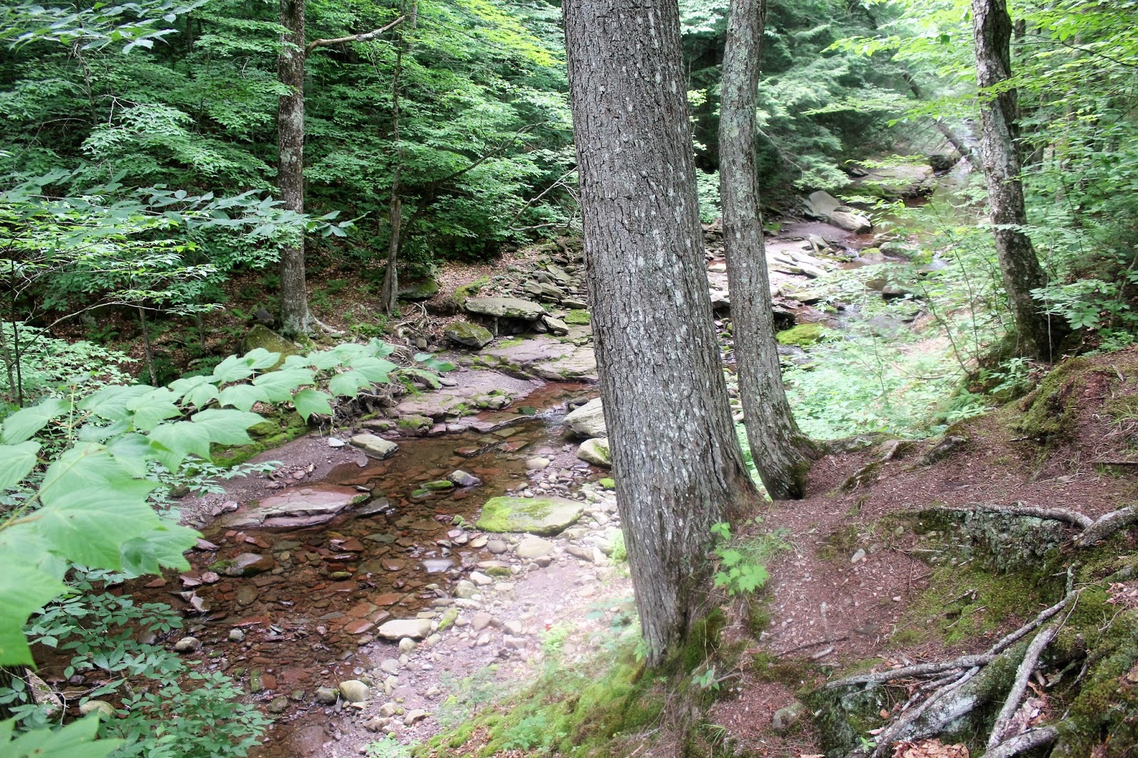
The first of several stream/ brook crossings on this hike.
The trail climbs moderately northwest along the very lowest slopes of Fir Mountain's southern shoulder before turning sharply back to the northeast after about 1 mile.
I stumbled across this turtle along the way. Seemed like he was just out enjoying the beautiful day as well.
Crossing a log foot bridge over a mostly dried up stream bed. The gorges cut out of the steep hillsides by these small run off streams is quite impressive.
After losing a bit of elevation and about 2 miles into the hike, I arrived at the Biscuit Brook Lean To.
The Biscuit Brook Lean To sits high above the banks of Biscuit Brook. I paused for a few moments here to soak in the serenity.
Looking down at Biscuit Brook near the Lean To.
Back on the trail, there is a stream crossing over a tributary of Biscuit Brook which I easily rock hopped.
Just past this stream, the informal herd path to Fir begins. I decided to stay straight ahead on the Seager West Branch Trail where I witnessed this poor rock being swallowed whole by a tree.
Arriving at the crossing of Biscuit Brook. The water level was fairly low and a rock bridge helped me keep my feet dry.
A small, quiet hole on Biscuit Brook.
The trail heads north, closely following the brook for a ways.
The trail finally leaves the brook and quickly begins to ascend. The climb isn't anything too steep, but it is steady.
Views are few and far between on this hike, so I was happy to catch a sliver of a view towards Fir Mountain's ridgeline through the trees.
Continuing northwest on a gradual ascent, the trail swings close to Biscuit Brook's headwaters just over 3000 feet.
Ascending through mostly hardwoods with no steep pitches or areas that are too tough to negotiate.
Unfortunately, this was the best view of the day I could find. A small opening in the canopy above, provided this limited view as I hit a ridgeline around 3400 feet.
Stone stairway.
Passing the all important 3500 foot sign.
The Seager West Branch Trail heads due north on a nearly level plateau area before arriving at the herd path towards Big Indian's summit on the right at about 4.5 miles. The herd path is nearly as beaten down and traveled as the maintained trail in this picture.
An easily followed herd path heads east, climbing up to Big Indian's 3700 foot summit. The summit is the 19th highest in the Catskills and is my 31st high peak. Elevation gain from the parking area is a touch over 1600 feet. I met a small group of fellow hikers who had hiked up from the Seager parking area, enjoying lunch at the summit as well.
I decided that since I was here, I was going to travel the 1.5 miles east to Fir Mountain's summit. A herd path leaves Big Indian's summit canister but quickly fades away, only to return and then disappear many times.
The herd path passing through fern glades.
I basically tried my best to head due east, being extremely careful to hit the small area known as the Catskill Divide, at an elevation of about 3200 feet. This is a small area, no bigger than 20 feet in width, where the land drops off precipitously on both sides. Tot he west all water runs off into the Delaware watershed, and to the east is the Hudson watershed. Although unassuming this is a very important area to thread if you are going the bushwhack between these two peaks.
Once on the slopes of Fir Mountain, I began climbing east and then south through some pretty thick areas, where there were no signs of a herd path.
I only came to one area of steep rock walls, which I easily avoided by going all the way around them. Soon after I arrived at Fir Mountain's 3620 foot summit. This is the 25th highest Catskill peak and my 32nd!
The summit canister on Fir.
The herd path that heads southwest off Fir's summit is very easy to follow for quite a ways before fading out only to emerge again. I basically followed this, dropping steadily back down about 1200 feet towards the Seager West Branch Trail near Biscuit Brook.
Once back on the official trail I made pretty good time. As the afternoon wore on, dark clouds began to roll in, blocking out any daylight from reaching the forest floor and although it was only 4pm it felt like it was closer to 8 in the dark, eerie woods.
Hiked about 10.5 miles RT, knocking out 2 more high peaks. It was a very quiet day in the woods, but sometimes that's exactly what I need.
After arriving back at the car, sweaty, hot, dirty and stinky, I decided to take the short foot path south of the parking area that leads down to the West Branch of the Neversink River. This made the perfect spot to cool off and clean up.


No comments:
Post a Comment