Search This Blog

Thursday, September 26, 2013

Rankin Pond/ 14th Road(Adirondacks)

Finally talked my dad into taking a day off work and heading north with me.  Yet another beautiful fall day ahead of us as we headed up the northway dodging morning commuters driving crazily to their jobs.  We were doing the very opposite today.  Driving slowly, taking our time to enjoy the crisp morning air.  Stopping at a convenience store to grab a morning coffee and some snacks.  We had no where in particular to be and we had all day to get there.
We started by going to Rankin Pond in Minerva.  Rankin is a small pond with a short trail by Adirondack standards but no less beautiful with stunning fall foliage surrounding it.  Besides, today we weren't staying on the trail.


While we were in the woods, west of the pond we suddenly heard the sounds of a helicopter coming close by.  We both stopped and looked to the sky as the sounds got louder and louder and it became obvious that the chopper was very low.  Neither one of us could find it through the canopy of trees above us until it finally crested a small hill and came out directly over the pond.  It got lower and lower and almost appeared to be landing in the water, when we realized they were stocking the pond with fingerlings, or baby trout.  I couldn't grab my camera fast enough and they were off.  It was an interesting experience, I won't soon forget.

We actually decided to bushwack around the entire pond and were going to make an attempt at finding Little Rankin Pond northwest of the big pond.  Walking to the west part of the pond proved treacherous as it is almost completely a marsh.  While never truly walking in deep water, each step we took, our feet sank in above the boot into a muddy bog.

After finally making it through that area we looked at our map and began heading in the direction we believed to be correct.  Without our compass and GPS though, we decided not to push it too far, plus our feet were completely drenched all the way to our chins.  We climbed a couple of wooded hills and ravines until we arrived back near the original trail and walked back to the truck.  It was an adventure but we still had other places we wanted to get to today.
Next, we drove east for a few minutes and headed up 14th Road, also in Minerva.  This road begins as a two lane, paved, well traveled road but eventually peters out into a dirt road that becomes rougher and less navigable until finally becoming a dead end.  We had seen on the maps that after the driveable section of road, it actually continues all the way down to the Hudson River.  While areas surrounding the road were dotted with some state land and some private, we thought we could make an attempt at staying on road and walking all the way down, about a mile and a half.
 The rushing water of Deer Creek accompanies you along nearly the entire length of the road.  There are many small cascades along the way, such as this one.
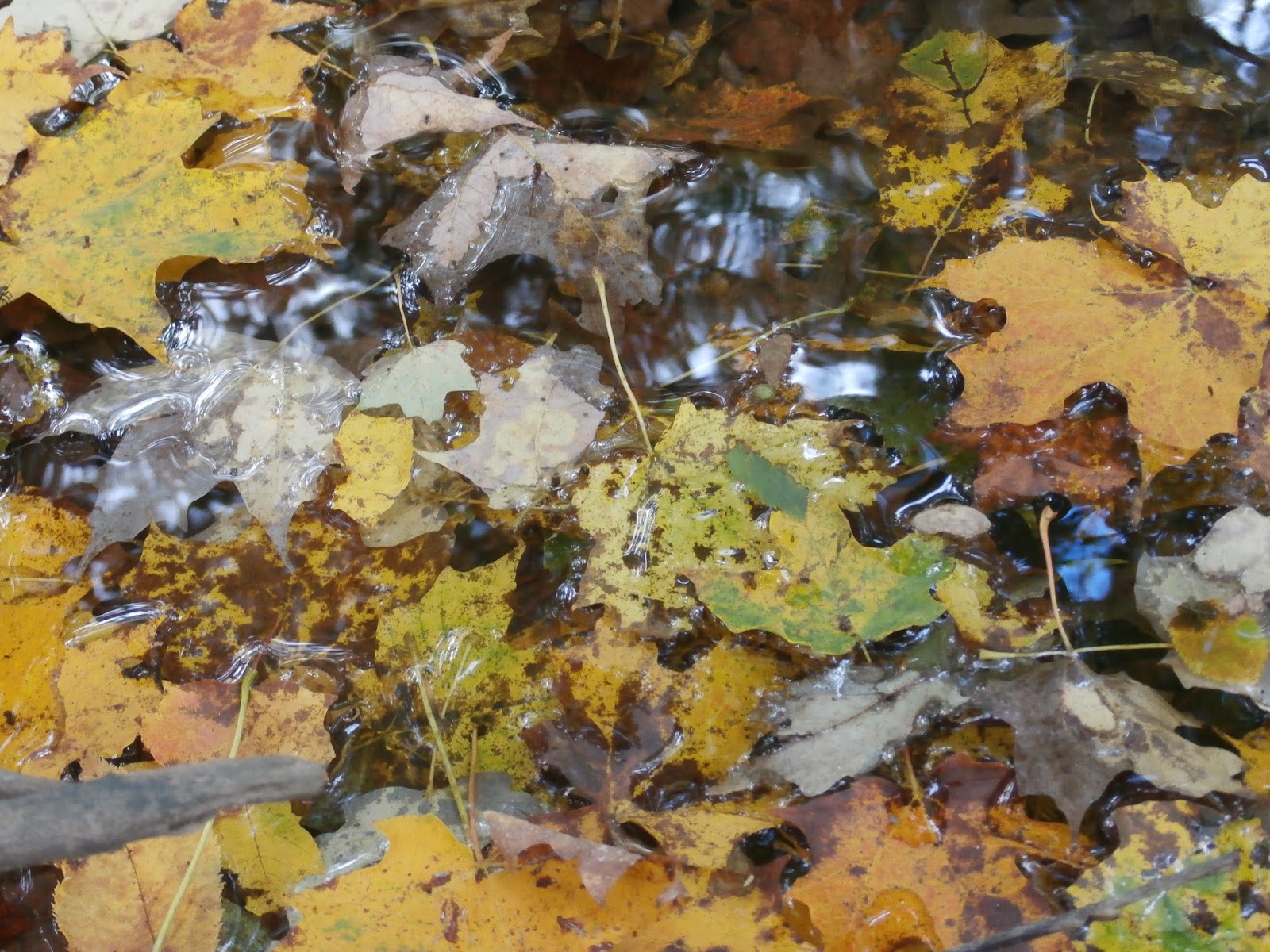
 The colors are almost at peak here in the central Adirondacks.
 It was a pleasant stroll through the woods.
 We came across this seemingly abandoned hornet nest that was surprisingly close to the road and only about five feet off the ground.
 Near the end of the road is a gate with posted signs all around it, preventing us from venturing all the way down to the river.  That was okay though, because the walk back was such a pleasant autumn stroll through beautiful leaves overhead and crackling leaves underfoot.
At the pulloff of the road there is another rough, four wheel drive road that heads directly up hill and into the woods that we decided to walk up.  My dad is somewhat familiar with the area,and knew that this was an old driveway that lead to an old man's farm, before the state aquired the land and removed all of the old structures and dwellings.  All that remains now is an open meadow with some apple trees and berries growing wildly.
Unfortunately after leaving here, my sinuses began to really bother me.  We made a giant loop around through Newcomb and up to Blue Ridge Highway and then back to the northway, but my head was hurting bad so we began heading home.  All in all, a day to remember with my dad.

Monday, September 23, 2013

Lock 4 Park(Schaghticoke) Denton Wildlife Sanctuary(Greenwich)

After a full day of work, I was really itching to get out today and hike. A cool northwest breeze kept the air comfortable for my first hike of the autumn.  I headed up Route 32/4 through Saratoga County, but both of my hikes today were on the east side of the Hudson.  I first hit the Lock 4 park in Schgaticoke, where the Hudson and Hoosic Rivers come together.  There is public access for fishing and several trails through the woods that lead to both rivers along with informational kiosks.  Here is the view from the point on the first trail.
Broken views of the Hoosic River.
 Hoosic River

Next, I headed a little further north to the Denton Wildlife Sanctuary in Greenwich, just over the river in Washington County.  It is owned by the Nature Conservancy and is actually located on both sides of route 4.  Well known as a birding sanctuary, there are a couple of miles of loop trails through mostly mixed hardwoods and wetlands.
You can find some really interesting things in the woods when you stop and take a look.  Small mushrooms growing on this moss covered dead tree.
 A small spider who was weaving a web near these leaves.
 A mushroom on the forest floor.
 Winterberries.
 This doe was alerted by me walking down the trail about 30 yeards away and stopped dead in her tracks.  I was able to get this nice photo taken before it bounded away.
 Stepping blocks over a muddy area.
 Some form of white moss growing together with a green moss.
Saw one other hiker on the trails the whole time.  She was walking her dog and taking photos as well.  It was a pleasant, quiet day for a walk.

Saturday, September 14, 2013

Huyck Preserve

Headed out to the hills of Albany County for a little early taste of fall at the Edmund Niles Huyck Preserve in Rensselaerville, NY.  It is a high elevation preserve so the leaves were starting to show a tinge of fall color here and there and with temps in the low 60's with a Northwest wind it certainly was feeling like autumn.
This area is probably best known for its Falls at the south entrance of the property, but I had been there a couple times already so I headed to different entrance here to explore.  The Falls, known as Rensselaerville Falls, are quite spectacular, but there are over 12 miles of trails in this beautiful area, so there are plenty of other sites to see as well.
I parked at the kiosk next to the Eldridge Research Station and headed out on the Lincoln Pond trail.  To get started on the trail you must first pass by the Dam at the south end of the pond.
Once on the trail, you follow the pond closely along the east side with some nice views across the water.


There is a nice footbridge across a stream flowing in to north end of the pond.
The loop around the pond is an easy, short walk of only .6 miles.  It certainly left me wanting even more, so I decided to explore the longer Lake Myosotis Trail which is about 1.2 miles one way.  The term Myosotis is the scientific name for the flower forget-me-not.  The lake was formed in the early 19th Century when Ten Mile Creek was dammed to provide power for the local mills.
The trail follows Ten Mile Creek from the dam down to the lake.  There were some interesting areas in the creek where fallen leaves had gathered and looked like an artists work.
 Following some heavy rains the last couple of days, the water level was up some.
You quickly begin to see the lake on your left as you continue your walk.  It is slightly uneven terrain with boardwalks in some of the wetter areas.  Some breaks in the clouds made for some nice views out over the water.

Headed back to the car once I got from one end of the lake to the other, but was left with a good feeling here.  The trails are very well cared for, and the surrounding woods are ruggedly handsome.  A very nice area to get out and explore, only about 45 minutes west of Albany.


Wednesday, September 11, 2013

Sanders Preserve(Glenville)Kane Mtn/Stewart Lake(Adiorndacks)Indian Meadows Park(Glenville)

A hot and humid Wednesday was in the cards for today but I had a free day so I wanted to take full advantage and get out exploring some areas I haven't gotten to yet.  My first stop was in Glenville, NY, which is about halfway between Schenectady and Amsterdam, at the Sanders Preserve.  This is a mostly wooded preserve in the Glenville hills, cut by Washout Creek, which eventually empties out into the Mohawk River.  Washout Creek got its name due to a cloudburst in the late 1880's that left the creek swelled, causing significant damage to the railroad tracks lying below.  Today the preserve is a popular Cross Country Skiing trail in the winter due to its slightly higher elevation than the surrounding land.
There were some beautiful blooming flowers at the start of the trail which grabbed my attention immediately.
The trail quickly entered the deep woods and it was a very pleasant walk with the early morning sun streaking through the trees.

I soon heard the sounds of flowing water nearby.  I followed a footpath off the trail leading down a steep embankment to Washout Creek.  There was minimal water, but enough to create a couple of very small falls.
I did a couple of the loop trails through the woods and eventually to the completely dry tributary of Whitetail Creek on the eastern part of the preserve.  The humidity was really picking up, leaving me sweating badly and seeking relief, so I decided to move on to my next destination.
And my next destination was the Southern Adirondacks in the town of Caroga.  I knew of a fire tower on Kane Mountain which offers splendid views of Canada Lake below and some of the Southern Adirondacks peaks.  The parking area was in the woods off of a secondary road, so it took some effort to find it, but I eventually did.  The trail is relatively short, but moderately steep most of the way.  I passed a couple of other hikers along the way, but the forest was mine other than that.  I was really working up a good sweat climbing this mountain,  but I knew the pay off would be worth the effort. After a little over half a mile I arrived at the tower.
There aren't really any views at the base of the fire tower so I decided to climb up to the top and take a look around.  The views did not disappoint.

 
After hiking back down the mountain, I realized it was still early and I was actually already at the trailhead for Stewart Lake which was from the same parking lot for Kane Mountain.  So off I went again.  This trail was a bit longer(2.5 mile RT) but was mostly flat, which made for easy walking. There is a stream crossing almost immediately after starting the trail.
As mentioned the hike is relatively easy walking, with just a couple of muddy areas and trees down to go around on the way.
Once at Stewart Lake, you must try to follow footpaths through marshy wetlands to get near the water.  Even after walking out through the marsh quite a bit I was still a good distance from the lake, but managed to get some beautiful pictures of this gorgeous area.
With my boots wet and muddy, I decided to head back to the car and go find somewhere to eat lunch.  After eventually getting some food and drying out a bit I noticed the clouds starting to build and on a day this humid, thunderstorms are never out of the question.  I figured I'd head back closer to home and see how the weather looked.  I took some back roads since I was in no rush and eventually found my to Indian Medaows Park, back in Glenville.  Back where I started the day.  The clouds were certainly looming but I decided to head out for a pretty mellow walk through open fields and woods leading down to the Indian Kill.

Once I arrived at the Indian Kill I came across a footbridge leading to more trails on the other side of the stream.   Although intrigued, I decided they would have to wait for another day to explore.
With the building clouds and a full day behind me, I decided to head back.  By the time I got back home the rain had just started and lightning was putting on a show in the not so distant sky.


Tuesday, September 10, 2013

Moccasin Kill Sanctuary

Following a rainy morning and cloudy early afternoon I decided I'd head out for a walk at the Moccasin Kill Sanctuary in Rotterdam, NY.  The Moccasin Kill is a small stream that flows out of the wooded hills of Schenectady County and into the Mohawk River.  There are several ups and downs along the trails as the creek has eroded the land through the years and left some deep ravines.  One of the highlights of this parcel, are the cascades along the creek, but there wasn't enough running water for that today.


There is a different feel about these woods and it feels nice just to linger and enjoy the nature around you.  The very hills that surround the Moccasin Kill once formed the eastern boundary of the Mohawk Indians, and some Indian artifacts have been found here.  The area was at one time all farmland, but has been forested for almost a century now.

There are several steep cliffs along the trails, so one should watch their step and be careful if wandering off the trail at all.

This is certainly a hidden gem of the Capital Region, and it takes a little searching to find it, but it is a well worth visit.