Search This Blog

Friday, November 28, 2014

Balanced Rocks(Pitchoff Mountain)-High Peaks

Following the blanket of snow that covered the area the last couple of days, I was anxious to get out do some snowshoe hiking today.  The frigid temps and snowy scene made it feel like mid January instead of late November as I left the house early in the morning.

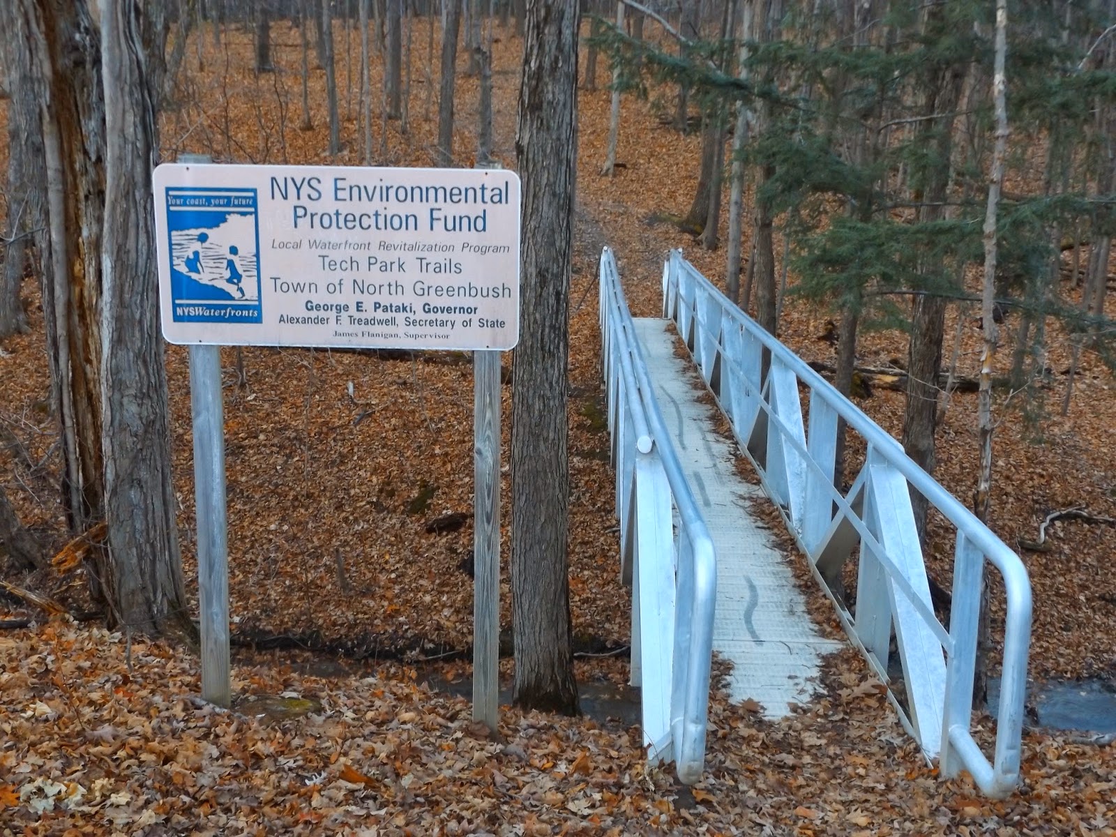
With most of the day free, I chose to do a moderate hike in the High Peaks area.  Pitchoff Mountain is directly across from Cascade Mountain, but due to its slightly lower elevation(under 4000 feet) it receives far less foot traffic. You must be careful crossing sometimes busy Route 73 and arriving at the marked trailhead and a series of steps leading up into the woods.
 A trail register greets you as you enter the dark woods of the Sentinel Range.
 The evergreens were draped in deep snow, weighing down the branches over the trail.
There are a couple of side paths that lead to view points south over Cascade Lakes and Cascade Mountain.  Thick clouds and flurries surrounded the summit of Cascade.
 This is a view off the steep cliffs of Pitchoff directly down towards Route 73 and Cascade Lakes.
 Another round of flurries moving in.
 Steeper section.  I took the snowshoes off and put the micro spikes on for a couple of these sections.
 A look back towards the Cascade Range and a hint of blue skies to the east.
 Looking directly across from Cascade's slide at another viewpoint along a ridge.
 The trail drops suddenly after the last view point, allowing a glimpse of the Balanced Rock area ahead.
After descending momentarily, you immediately begin climbing, very steeply this time.
 A view back south and west from the steep section of climbing.  Thick clouds and heavy flurries moving back in.
 The micro spikes again came in handy for the steep climbing.
 An opening in the clouds allowed a glimpse of blue skies.
 Once you level off from the steep climb, you arrive at a dense evergreen section, where a sign indicates the way towards Balanced Rocks on the right and the first summit .5 miles away to the left.
 The flat summit area on the way to the Balanced Rocks, bathed in heavy snow. 
The following photos were all from around the Balanced Rock area, where there are truly great views.
 Thankfully the skies cleared for a few moments.


 The large, open  clearing with the Balanced Rocks.  The lack of trees leave this area completely exposed to very strong, bitter winds. 
 Fierce winter winds made it painful to face the west and the teeth of the wind. 
 Route 73 west and Upper Cascade Lake snake through the landscape far below.
 Huge boulders and large, open, rocky areas mark much of this area of the mountain.
 After lingering for a little while I headed back towards the trail junction and began walking in towards the first of Pitchoff's summits.  Unfortunately I dropped my camera into the snow and it began to act funny, so I turned around and began heading back, trying to dry it out. Just as I arrived back at the viewpoints over Cascade Lakes the skies began to clear.  I attempted to use the camera again and much to my delight it began to work again. 
 Looking way, way down to the outlet of Upper Cascade Lake.
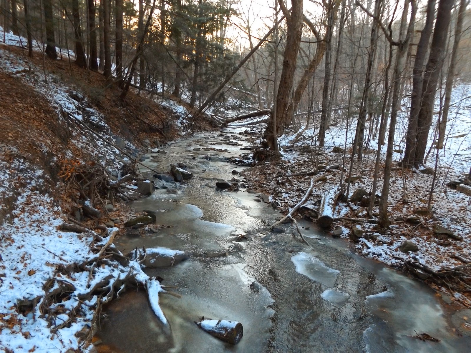
 Walking back through the  snow drenched woods.
Although only 2.6 total miles RT, the hike was just what I needed.  A good warm up to the winter season.


Tuesday, November 25, 2014

Albany Rural Cemetery

Anytime a walk can be combined with history, it is an added bonus for me, so I took advantage of another mild November day with a stroll in the Albany rural Cemetery located in Menands.  The Cemetery, established all the way back in 1844 contains 467 acres, making it one of the largest cemeteries in the state and many historical figures are buried here.  The main entrance is on the west side of Route 32 in Menands on Cemetery Ave.
 While not always my first choice for a nice walk, the cemetery does make for very pleasant walking with many roads and paths meandering throughout.
 Fallen leaves on the drab November lawns.
 The pond, simply known as Cypress Waters, is one of the centerpieces of the cemetery.  Several benches make this a quiet spot to relax.
 There are many an amazing array of monuments, crypts and other structures to honor and commemorate the deceased.
 There are paved roads throughout the grounds.  This particular straight stretch through the trees caught my eye.
 Remaining leaves marking late fall.
 While there are many notable historical figures buried here, the most famous of all would be Chester Arthur, the 21st President of the United States. 
 A closer look at the former President's grave, where he was laid to rest in 1886.
 There are several stream crossings throughout the grounds as well, easily integrating history and nature.  Here is a very pleasant cascade along the Moordanears Kill near the Chapel.
Besides Chester Arthur, there are also 34 members of Congress; eight presidential Cabinet members; five New York State governors; and 55 mayors of the City of Albany buried on these grounds since it founding.  While not the most challenging hike around, anyone looking for a nice quiet walk should find this to be a perfect place to explore.

Monday, November 24, 2014

RPI Technology Park(Rensselaer County)

Went out for a short walk in the woods at the RPI Tech Park in North Greenbush this afternoon.  The day was abnormally warm in the upper 60's making for a very comfortable stroll.  As I arrived at the Tech Park, the sun was beginning to set.
 The trail can be hard to find for someone unfamiliar with the area, but I parked at the WMHT building and walked across the large, open fields to the trails in the woods.  There are several unmarked foot paths through the woods, with a footbridge and trail sign near the entrance.
 A unnamed stream flows through the woods, cutting out a large gorge on its way down to the Hudson River.
 There are a series of waterfalls along the stream, with all being easily accessible this time of year with the trees all bare.
 The footing near the deep gorges can be steep and tricky, so you must be careful. 
 A beautiful 10 foot waterfall can be seen just off the trail.
 Closer look at the falls.
 Only a few yards fewer below the previous falls is another smaller waterfall.  I carefully hopped down to stream level and caught a nice view back up at both falls, making for a very nice scene.

There are plenty of other trails throughout the Tech Park, with most usually seeing light foot traffic in a quiet area.

Wednesday, November 19, 2014

Rotterdam Kiwanis Park(Mohawk Valley)

Took advantage of another brief opportunity to get out for a late afternoon walk after work today along the Mohawk-Hudson Bike Path.  I parked at the Rotterdam Kiwanis Park, a community park and boat launch along the Mohawk River, just off Route 5s.  The park was founded in 1986 by the Rotterdam Kiwanis Club and offers direct access to the bike path.
 The bike path is paved and makes for easy walking.  The trail is actually an 86-mile trail in New York's Mohawk Valley and Capital Region and is the most easternmost segment of the New York State Canalway Trail.
 Where the Plotter Kill flows into the Mohawk.
 The beautiful Plotter Kill flows under the bike path just east of the parking lot.  A small series of cascades and an old canal aqueduct make for a gorgeous spot.
 A very small split in the creek provides a better look at the Plotter Kill.
 Rotterdam Kiwanis Park provides a boat launch, picnic areas and fishing access as well as access to the bike path.
 Looking back to the west at the Rotterdam hills.
Unfortunately the peaceful serenity of the trail is broken by the constant noise of traffic rushing by on Route 5s, which parallels the bike path.
 The placid waters of the Mohawk River offering up pleasant reflections.
 Cattails in the wind where the old canal ran.
 A tower from the nearby SI Group near a bend in the river.
 Active railroad tracks cross the Mohawk jut upstream from a clearing on the trail.  Several minutes later I saw a train crossing the river here.
 Looking at the Route 5s bridge that crosses the Plotter Kill.
 Late afternoon sun along the bike path.
 A quiet neighborhood can be seen sitting along the north shores of the Mohawk from under the 890 bridge.
 From a small field, you get a clear view of the I-890 bridge crossing.
 A bit further downstream, houses can be spotted high above steep bluffs along the river.
Heading back along the bike path, while the sun sets through the typical, damp riverside woods.  Due to the below average temperatures and wind chills I only saw two other people on bikes the entire time on the path.
 Felt great getting out and walking about a total of 3.2 miles RT.  While the sun was quickly setting, there was still a sliver of daylight left, so I visited the nearby Plotter Kill Preserve to take a look at the Upper Falls.  While only a couple miles away as the crow flies, the Preserve is located at a much higher elevation meaning winter has a much firmer grip.  The partly frozen waters of the Plotter Kill just above a footbridge on the red trail.
 The beautifully mostly frozen 60 foot upper falls. 
There are a pair of other spectacular falls at the preserve but darkness was setting in on the woods so I had to head back to the car.