Search This Blog

Tuesday, October 30, 2018

Cornell Mountain Bushhwack(Catskills)

Headed down to the Catskills to bushwhack the east ridge up Cornell Mountain that my buddy Jim and I saw last week when we explored the slide on Friday Mountain.  It looked like a steep route, but potential for views.  We met  up with Stash, another friend of ours and started the day from the end of Moon Haw Road.  Elevation is under 1200 feet to start, as we followed Wittenburg Brook NW towards the ridge.  A well deserved nice fall day was in the forecast for our journey.
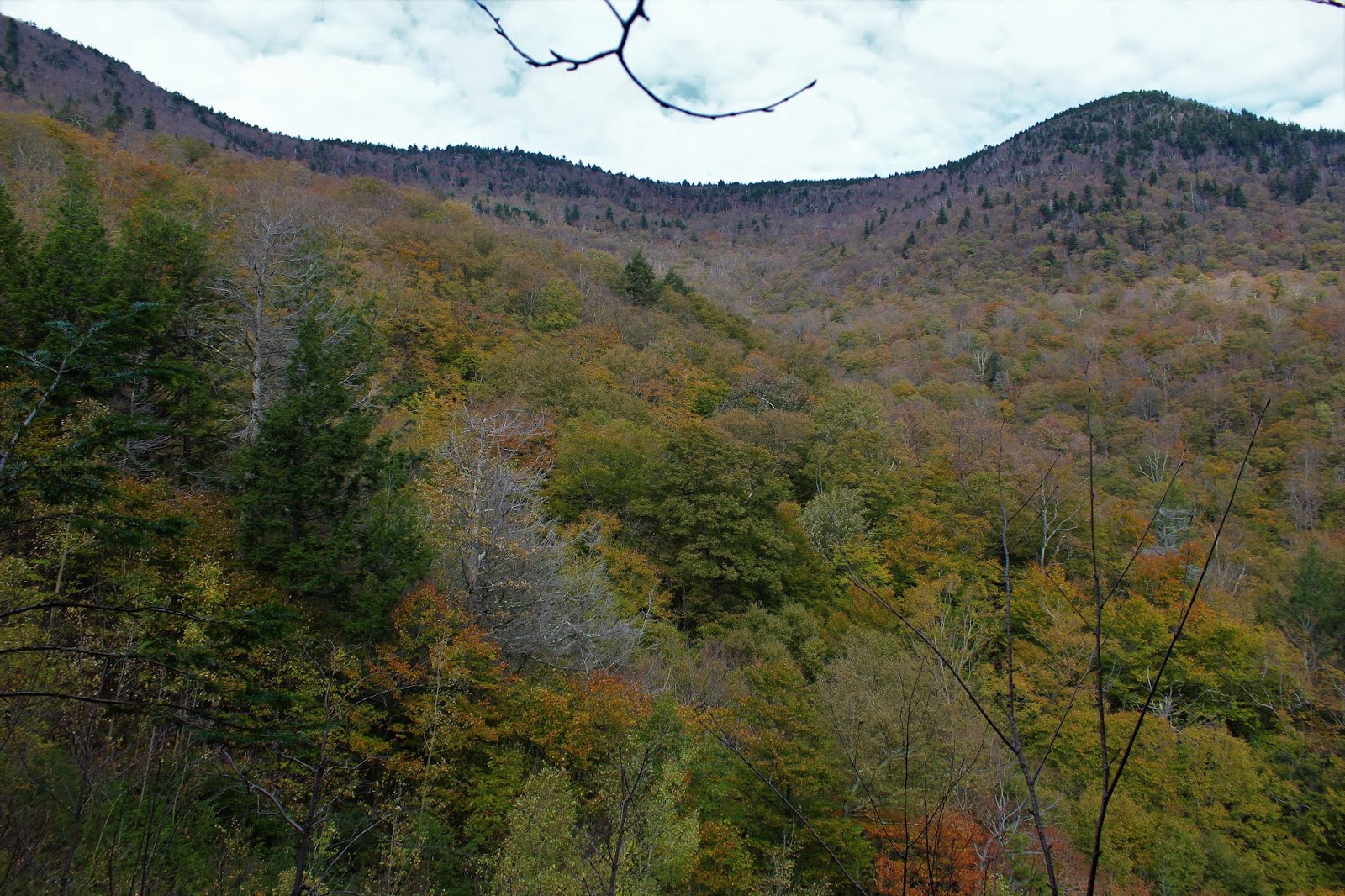
Luckily, we found a good woods road that lead right up the lower part of the ridge to over 2000 feet.  Just above 2100 feet, we found our first rock ledges to get around.
These were easily negotiated and we continued our ascent.
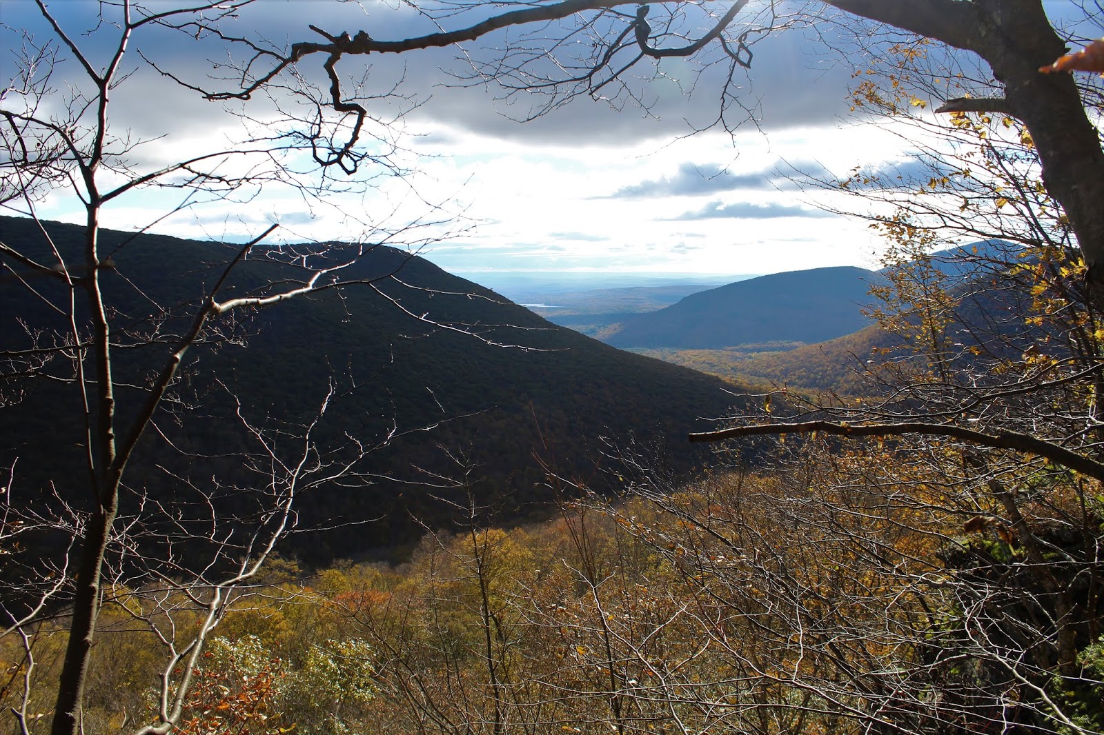
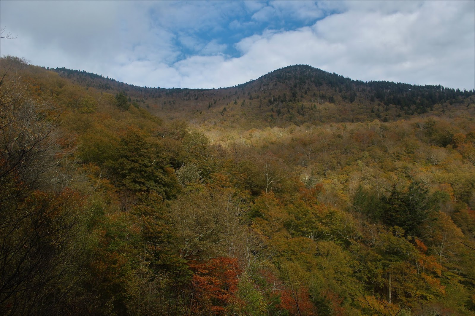
Once atop the ledges, the ridge continues a long gradual climb, with some incredibly steep ledges to the northeast.  From an opening along the ridge, we spotted some nice views across the abyss to Wittenburg's far SE ridge.
Further to the SE, the end of Witt's SE ridge is visible with the Ashokan Reservoir peeking out in the distance.
A zoom view shows Witt's SE ridge enveloped by early morning shadows, with just a hint of the Reservoir beyond.  South Mountain and its radio tower can be seen to the right.
Continuing our march up the ridge, we began to hit some very steep rock ledges that could almost be better defined as 20 to 25 foot walls.  We had to carefully choose our routes up and around these huge rock walls.
From atop one of the steep drop offs, at just over 3100 feet, Stash takes a moment to soak in the NE view.
From the ledge, we had a very good view NE to the Devils Path peaks.
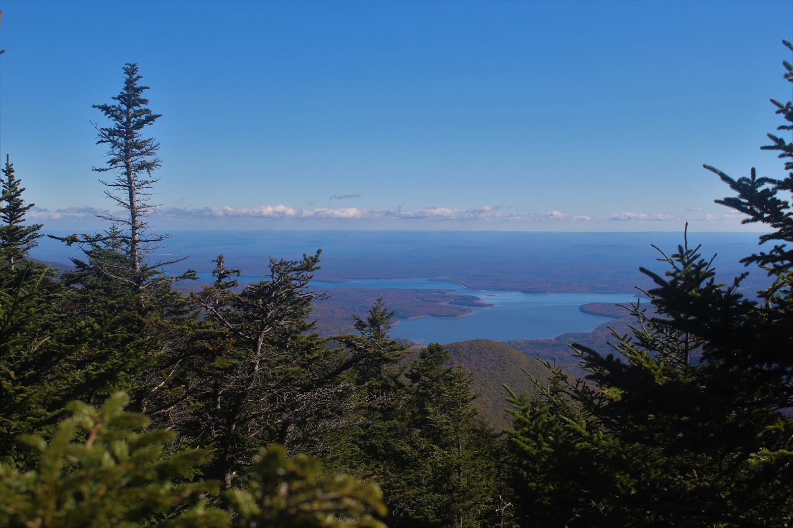
Through the trees, we were now high enough to capture much more of the Ashokan Reservoir over  Witt's SE ridge.
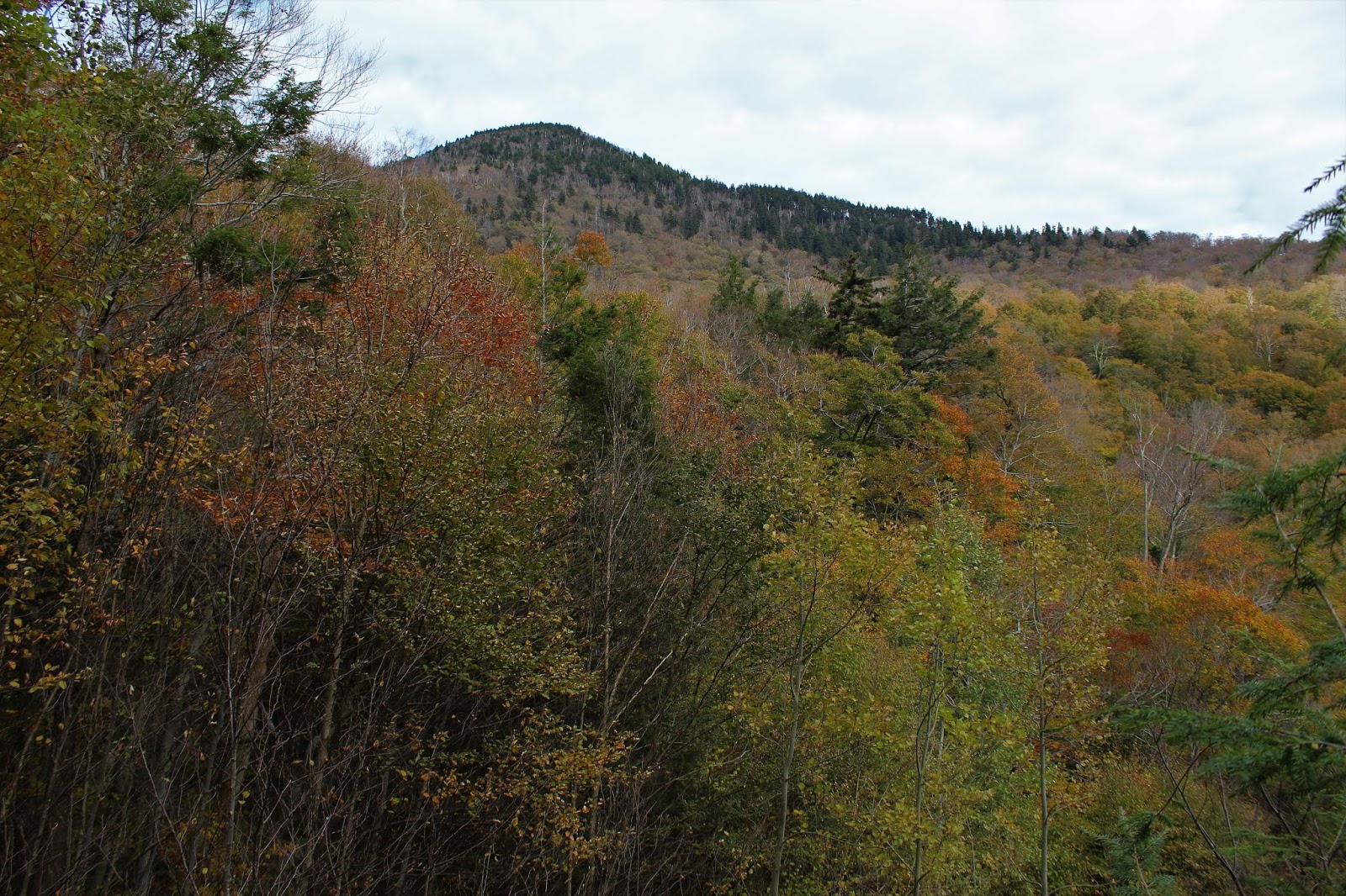
3780 foot Wittenburg Mountain, standing impressively just to our north.
From the other side of the 3100 foot ledges, we found even more impressive views! 
A great view of Balsam Cap and Friday Mountains, with Friday's slide that we were on last week clearly visible about 1000 feet below.
A zoom view of Friday Mountain's slide!
Stash, standing at the edge of the precipice.  It's hard for the camera to capture just how ungodly steep this area was.
Balsam Cap and Friday Mountain, both Catskill high peaks, captured from a unique perspective.
From 3100 feet, the ascent only got steeper.  It was a slow go, as we hit rock band after rock band, with some of the walls well over 30 feet high.  There were even a couple points that we weren't sure we could make it up.  But, luckily our perseverance paid off, and we made it to the summit ridge, where a light dusting of snow and ice glazed everything.  A scratchy route through thick spruce brought us to a wide open rock ledge with amazing, sweeping 180 degree views.  Ashokan High Point(L) and neighboring Little Rocky to its right in the distance.  In front of that our the lower summits of Breath Hill and Hanover Mountain, with Balsam Cap to the far right.
Turning further to the right, and looking more SW, we had an awesome view over the Dink of Peekamoose and Table, with the south ridge of Slide to the right.
From 3800+ feet, this time looking down on Balsam Cap and Friday.
We even managed to spot a clean view of the Ashokan Reservoir to the SE above the tree tops.
After clawing ourselves away from the wide open ledges, we pushed our way through the scratchy spruce to Cornell's 3860 summit.  More importantly, we finally hit a trail, which was nice after our exhausting ascent.  We made our way on the trail over to the view point of Slide Mountain's snow capped summit to enjoy a well deserved lunch break.
Giant Ledge and Balsam Mountain beyond from the view point. Unfortunately, the winds were quite strong up near the summit, with biting wind chills and icy trails.  This made our decision to head back down an easy one. 
The bushwhack descent from Cornell can be extremely difficult, but we headed slightly south towards the Dink and made our way slowly down.  This route is VERY steep and rock jumbled.  This is quite exhausting, especially after our route up.
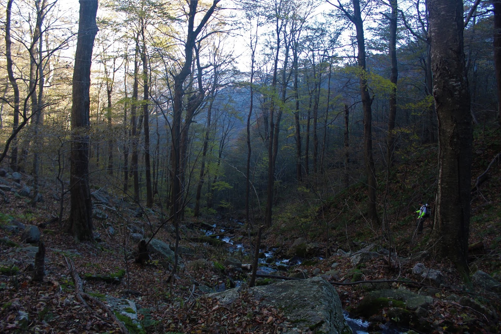
Further down the mountain, we hit one of the tributaries of Wittenburg Brook.  Even this was pretty steep.
Once back down below 2000 feet, we were welcomed back into autumn like conditions, with bright sun and surprisingly good color remaining on the trees.
Our golden descent.  We eventually found our way back over to the woods road we had taken up, this time battered and beaten,  We were all quite tired and happy to see a woods road at this point.
We finally got back to the car, wiped out but all feeling good.  A very challenging 8 mile, 3000 foot ascent bushwhack.  The numbers don't tell the story of this hike, as the terrain is so difficult to hike.  Exhausted is the perfect word for this one.


Wednesday, October 24, 2018

Panther Rock & Naponach Point(Shawangunks)

With about a half day available to hike, I decided to take a short trip south to some quiet trails along western slopes of the Shawangunk ridge.  My starting point was low in the valley along Foordmore Road(elevation just over 300 feet), where a gate marks the beginning of the Lower Mine Hole Trail, which is part of the Minnewaska State Park.
 
Initially the trail, blazed in white, stays fairly level and runs along a pretty stream. 
An easy rock hop gets you across the stream.
The Lower Mine Hole Trail comes to a trail junction after 3/4 of a mile, where I made a sharp left turn onto the Long Path/ Upper Mine Hole Trail.
The trail utilizes switchbacks with a steady ascent, gaining nearly 1000 feet before you even realize it.  You know you are approaching the beginning of the ridge when you begin to see a steady amount of mountain laurel and rhododendron alongside the trail.
I was pleasantly surprised to see some good color hanging on in a down year for foliage.
This little beauty wore her best red dress to the dance.
The steep climbing from the lower slopes softens quite a bit up high, as the views above the tree tops increase.  The blueberry bushes are showing off their fiery red colors as well.
Well over 1700 feet in elevation, a short spur trail heads over to Panther Rock.
Climbing atop Panther Rock provides a spectacular view NW to the Catskills.
The Panther Rock view is quite nice, stretching far to the west as well towards some of the lower peaks in the southern Catskills.
 Zoom view to the Catskills.
 After leaving Panther Rock and getting back on the Long Path, there is a slight drop to a drainage, before a gentle rise brings you to the Smile Carriage Road.  I wanted to turn right here towards Napanoch Point, but the Smiley Carriage Road was unfortunately closed to hikers.  Instead, I simply bushwhacked my over to a herd path which lead to the point.
 There are several ledges that make up Napanoch Point, each with terrific views.  The long ridge leading towards High Point can be seen directly in front of you to the south.
 
To the west the view encompasses the valley of Ellenville and Napanoch.
Late afternoon shadows stretching across the valley into the distant hills.
Turning back from there, it was a nice easy hike back, passing through more colorful blueberry bushes.
Maples showing off their usual fall brilliance.
Skies were very changeable today, with brisk winds atop the ridge. It only made the scene more beautiful with each step.
The descent went by fairly quickly, arriving back along the banks of the small babbling stream.
Hiked a little under 7 miles RT, with over 1700 feet of ascent.  Didn't see another person all day.

Monday, October 22, 2018

Friday Mountain's Slide/ The Dink(Catskills)

Met up with my buddy Jim and headed down to the Catskills to hike the steep east slopes between Friday Mountain and Cornell Mountain from Moon Haw Road today.  We've both already summited these peaks(more than once), but our agenda today was to really explore the slopes in search of hidden views, as well as the slide on Friday.  We started from the end of Moon Haw Road at just under 1200 feet in elevation.  We had to climb up and over the small rise on state land to get down to the tributary of Wittenburg Brook that we wanted.
The tributary made for a very pleasant companion on our route up.  As we gained elevation, the brook splits yet again at just under 2000 feet.  We stayed on the left branch and continued up.
A little over 2000 feet, we began to hit the lower part of the slide.  Although steep and mostly open, it is also not the most impressive slide, as it is now over 50 years old and has grown in a bit. 
From the lower parts of the slide, we began to see Cornell's impressive 3860 foot summit rising directly above us.
A bit higher on the slide, the view of Cornell and its ridge to the Dink only got better.  There was even still a hint of fall color hanging on.
More of the ridge comprising the Dink.
The top end of the slide is visible in this shot.
We managed to find our way over to the top end of the slide, where the rock and scree was a bit loose on the steep slopes.  We had to be very careful with our footing here.
From the top of the slide, the vantage point east is quite nice, with Samuels Point direclty beyond Cornell's shoulder.
Jim checking out the slide, trying to keep his footing.
Once above the slide, the ascent got even steeper, with many large jumbled areas of rock.
We took a NW route up the slopes, which proved to be a bit easier.  Once below the Dink(the unofficial name for the 3655 foot peak between Friday and Cornell), we found through the trees views of Cornell, still high above.
Once above 3000 feet, the ascent became very steep and rock filled. 
From the increasingly steeper slopes, good views over towards Friday Mountain began to unfold.
While the calendar still may read October, winter has begun to rear its head in the higher elevations.
We gained a steep ledge near the upper reaches of Cornell and found a sweet view over towards Balsam Cap(right) and Ashokan High Point(far left).
Ashokan High Point(left) and Little Rocky(right).
A stark November looking landscape greeted us as we neared 3600 feet.
Once on the ridge at about 3700 feet, we hit thick spruce.  Instead of heading over to Cornell(which was less than 2/10 of a mile away), we headed south along the ridge towards the Dink. 
 
After a wooded, nondescript summit visit of the Dink, we dropped back down off the nearly vertical escarpment wall in search of views, and found a very nice look down at the Ashokan Reservoir.
The descent was incredibly steep and even a bit scary.  We had to be extremely careful in choosing our route because of the steep ledges.  Here, an enormous section of the ledge literally was carved off. 
It was a long and steep descent all the way back to the car, but we took our time and made it safely.  Hiked a little over 8 miles RT and nearly 3000 feet of ascent.