After last night's front moved through, pushing out the rain and humidity, gusty NW winds ushered in the coldest air of the season today. My destination today was to be Mother Myrick Mountain, a 3361 foot peak that resides due north of Equinox Mountain. Access is from the very end of Nichols Hill Road in the town of Dorset, where a small parking area and gate are the starting point.
The woods road is wide and very easy to follow, passing high above the banks of a small stream on the right.
The first 1/3 of a mile is a gentle climb through gorgeous hardwoods.
Although a bit cool with strong NW winds, the conditions were nearly perfect. The ascent gets steeper as you go, with other woods roads branching off along the way.
At a bend in the trail, a small clearing provides a glimpse through the treetops towards the summit ridge high above.
After the bend, it is a fairly steep climb, made much easier with the use of switchbacks. Running water draining off the steep slopes, crosses the trail here, but it was an easy hop across.
As I gained elevation, the trees grew noticeably shorter.
Nearing 3000 feet, the seasons fast forwarded a bit, with many of the tree tops already bare.
After the long ridge walk, a final steep push heads towards the summit area, and the first signs of spruce.
Approaching the viewpoint, which sits just a few yards away from the summit.
The spectacular vista just yards from the summit provides a view NE over the Mettawee Valley towards Dorset Peak.
Shadows climbing the nearby peaks. This was a great place to grab a a drink and relax for a few minutes.
Literally only a few yards away from the viewpoint and just off the woods road is the true summit, at an elevation of 3361 feet. Signed into the "pickle jar", which grace many of the Vermont"trail-less" peaks.
A short distance beyond the summit are the remains of a 1970's plane crash. All I could see was the remains of what look to be a wing.
Returned via the same route, with increasing sunshine along the way. This beech tree looked lit up from the bright sun.
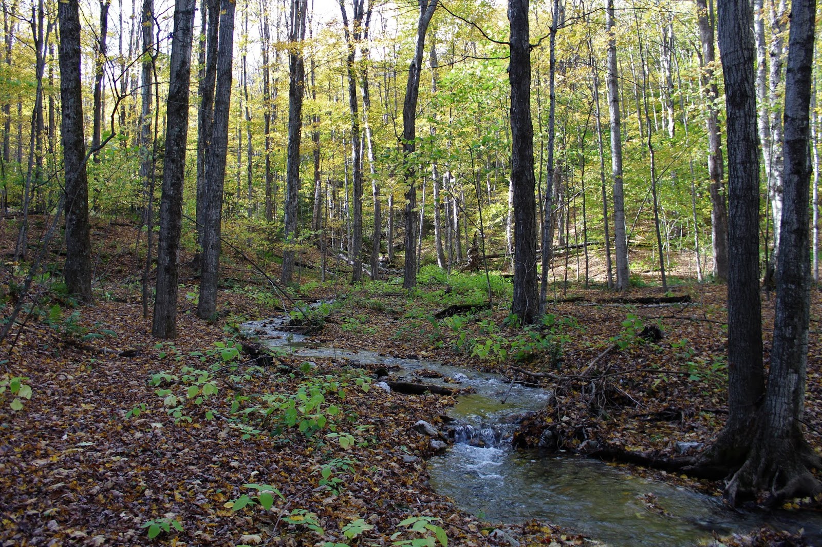
The woods roads wind way around the ridge of the mountain, before finally making a steep descent back. Paused for a few moments along the small stream on the lower slopes of the mountain.
Pretty stream winding through the open woods, as I neared the car.
Arrived back at the trailhead after a long 8.8 miles RT, with over 2500 feet of ascent. The good woods roads made it feel much easier, however.


No comments:
Post a Comment