The Washburn Trail is blazed in white and begins by climbing an old road that used to access a quarry. From the quarry itself, which was abandoned back in 1967, the slopes of Bull Hill rise impressively above.
The upper rim of the quarry.The trail skirts the south side of the quarry and ascends steeply on an increasingly rock laden trail.
As you gain elevation, views back towards the south and west begin to unfold.
At a switchback, proceed about 25 feet to the right for an incredible view south over the village of Cold Spring directly below and Constitution Island to the south.
The view south over the Hudson River with Crows Nest rising to the west.
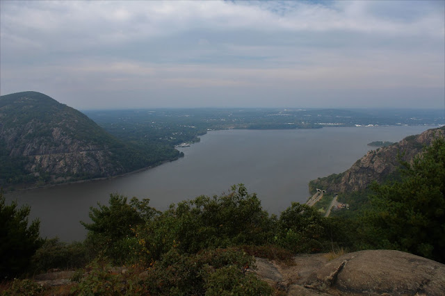
The trail soon comes to an intersection with the yellow blazed Undercliff Trail. I turned left onto the yellow blazed trail there to check out the outstanding viewpoint a short distance to the west. From this vantage point, you are looking directly up the Hudson River north between Storm King Mountain(L) and Breakneck Ridge(R).
After hitting the viewpoint, I headed back the short distance to the white blazed Washburn Trail, which continues climbing towards the summit. Just below the summit and several yards off trail I spotted this large, pretty vernal pond.
Finally arriving at the wooded 1421 foot summit of Bull Hill. Once at the top, the winds really began to pick up and the clouds grew very dark. This made my decision to turn back the way I came an easy one.
Dropping down to one of the viewpoints towards the south, with the dark, ominous rain clouds above.
Hurrying along on my descent, I paused briefly to capture this colorful drainage area that has backed up and turned into a sizable pond like area.
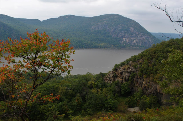
As luck would have it, by the time I got down onto the lower slopes of the mountain, the skies began to clear once again. Thankfully this afforded me the chance to capture some photos towards Storm King and Breakneck Ridge.
As I continued my descent, I could hear the sounds of helicopters flying above, heading north up the river from nearby West Point.
Up close and personal views of the cliffs on Breakneck Ridge along the east side of the Hudson.
A last look at the amazing vista north before I finally dropped back tot he car. The clear weather didn't last a lot longer, with rain moving in within a half hour of arriving back at the car. Hiked about 4.5 miles RT with over 1500 feet of total ascent.


I know this is one of the most meaningful information for me. And I'm animated reading your article. But should remark on some general things, the website style is perfect; the articles are great. Thanks for the ton of tangible and attainable help. Please go to site things to do
ReplyDelete