Search This Blog

Monday, October 30, 2017

Moccasin Kill Preserve(Rotterdam)

After leaving the Plotter Kill Preserve, I still had a little bit of daylight remaining, so I headed a little further west to visit The Nature Conservancy's 95 acre Moccasin Kill Preserve, located along Crawford Road.  There is a very small parking area along the south shoulder of the road, with room for about 2 cars.
 The trail immediately passes by a kiosk and crosses the Moccasin Kill on a well built foot bridge.
 The trail drops down into a very deep hemlock ravine, where there is a crossing of a fast running tributary of the Moccasin Kill.
 A very small bridge crossing.  Very small...
 I followed the blue trail, which climbs steeply up through a hardwood forest.  Just a few yards off the blue trail, there are several pretty, small cascades in a deep ravine.
 High in the Rotterdam hills, where the elevation climbs up over 1000 feet, autumn is noticeably further along.  Most of the leaves here are already covering the ground.
 Completed the blue and red trail loops as darkness began to settle in.  Hiked about 1.5 miles RT.

Plotter Kill Preserve(Rotterdam)

On the heels of a major storm which pounded the region with heavy rain and strong winds, skies slowly began clearing this afternoon, so I headed out to do some exploring in rural Schenectady County.  My first stop was the 632 acre Plotter Kill Preserve from the much quieter Coplon Road entrance.  An added bonus to hiking in from Coplon Road is the very nice vista down towards the Mohawk Valley from the small parking area along the west side of the road. 
The trail crosses an open field before descending steeply down through conifers to the Plotter Kill.  In dry times(such as two days ago), there are several spots where one can easily rock hop across the creek.  Such was not the case today!
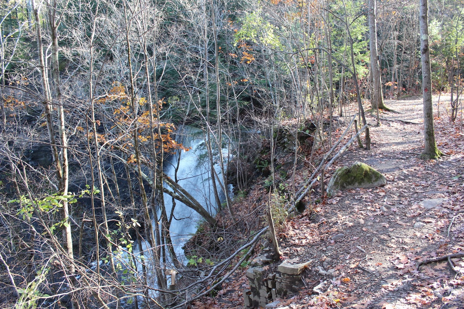
 Heading southwest along the top of the very steep rim above the gorge cut out by the Plotter Kill.
 Some fall colors remain across the impressive gorge.
 I dropped down to the base of the second falls on the Plotter Kill, which was really raging.
 A smaller, but still pretty, cascade drops just downstream of the larger falls.
 Following the trail along the top of the very steep rim above the falls.  There are signs all through the woods warning hikers to stay back from these steep drop offs, which unfortunately, have claimed several lives over the years.
 The only safe crossing over the Plotter Kill today was the well built wooden foot bridge.
 The calendar may still say October, but these woods are taking on a bare bones November appearance.
 From the top of the falls on the Plotter Kill, which, at 60 feet, is the highest of all the falls in the Preserve. 
 The Upper Falls, crashing down impressively from the trail.
 The rim trail along the west side of the Plotter Kill, has quite a steep drop off as well.  The gorge cut out by the Plotter Kill is extremely beautiful, but also extremely dangerous.
 I dropped down towards the smaller Rynex Creek, which drains into the Plotter Kill.  There are a series of small, picturesque falls along this whole stretch of creek.  Unfortunately, the main 40 foot falls on Rynex Creek, are very tough to get to and on a wet slope, like today, can be deadly.
A pretty, 5 foot drop on Rynex Creek. 
 I really enjoy this stretch of Rynex Creek for its rugged beauty and unrealized potential.
 Steps aid hikers on the steep climb up from the bottom of the gorge.
 Heading back northeast, where there are filtered views above the gorge to the nearby hillsides.
 The stairway leading up and away from the bridge crossing.
 Oak trees are a bit more resilient than maples, and retain much of their leaves into November.
 Nearing Coplon Road on my return, I passed by this open meadow.
 Looking at the open meadow, dropping down into the deep gorge of the Plotter Kill.
Hiked about 4 miles RT on a cool, breezy, but pleasant fall day.

Friday, October 27, 2017

Mohawk River State Park(Niskayuna)

After leaving the brand new Fox Preserve, I drove just a little further west into Niskayuna to explore the varied trails located at the Mohawk River State Park.  There are several different access points, none very clearly marked, but I would start today from the very end of Whitmyer Drive, just before the gate for the Niskayuna Wastewater Treatment facility.  The only thing marking the beginning of the trail, were fake flowers and an obvious foot trail heading south.
 A small foot bridge crosses a tiny tributary.
 The trail I followed skirts the Wastewater Treatment facility, on its way back north towards the Mohawk Hudson Bike Path.
 A much larger foot bridge crosses an unnamed stream that empties into the Mohawk River near Lock 7.
 The stream was low on water but unfortunately had picked up human scraps.
 The steep banks above the stream.
 Further downstream, the stream is nearly completely dry, chock filled with rocks.
Climbing up one of the steep, skinny bluffs.
 From the top of one of the bluffs, I could see the tree tops below but not much else.
 Dropping down to a Power Line crossing, with a view down towards the river and Lock 7 Road.
The trail I was on eventually dropped me down onto the Moahwk Hudson Bike Path near Lock 7.  I meandered along to an unmarked path out to the river's shoreline.
 From the tiny peninsula I was on, I could not only see the river, but Lock 7's buildings.
A little further along is another small foot trail that leaves the bike path and offers up much broader river views to the west.
 A zoom look  towards the northern shoreline.
 A lively area of the river in the shallows, where I spotted several herons and ducks out and about.
 Recent heavy rains have really raised up the Mohawk's water levels, as evidenced in this photo.
 I followed the Bike Path north, before re-entering the woods on the Shaker Gorge trail. For such a pleasant fall day, I was quite surprised to see how quiet the bike trail seemed to be today.
 The Shaker Gorge Trail is an impressive trail that literally climbs steeply up beside a deep cut gorge cut out by a large drainage.
The Shaker Gorge Trail eventually heads all the way back to Whitmyer Road, where my car was parked.  I cannot stress enough that there are many, many trails that wind their way through these woods so please be vigilant and pay attention to where you are going.  Some of the trails have random markings, while others are simply unmarked foot paths.  No matter which route you choose, the woods are very pleasant, and you will probably enjoy a very nice walk in a suburban setting.  I hiked about 2.8 miles total here and 4 RT for the day.

Fox Preserve(Colonie)

Visited the 70 acre Fox Preserve, the newest Mohawk Hudson Land Conservancy property on a beautiful fall afternoon.  The preserve was donated by Dr. Patricia Fox in 2015 and can be found along the south side of River Road in the town of Colonie.  An informational kiosk and trail map can be found at the parking lot.
 I took the orange marked trail, which crosses a private drive before heading southeast past a wetland.
 Shaker Creek runs close to, but not along the trail, and down off a steep bluff.  I left the marked trail to go down to get a better view.
 Looking upstream at Shaker Creek, which eventually empties into the Mohawk.
Back on the trail, the orange trail begins a climb up to a height of land, where apples littered the ground.
 Where the white trail meets the orange trail is a large meadow like area.
 A clearing provides a view north towards the Mohawk River.
 A picnic table from the river view clearing makes a perfect resting spot.
The white trail passes through former farming land.
 A very steep drop just a few yards off trail in the deep gorge cut out by Shaker Creek.
I made sure to explore all of the marked trails(both white and orange) as well as the Shaker Creek stop off trial.  Hiked about 1.2 miles total at this brand new preserve.