Paid the small nominal fee to park the car and headed across the open fields(which are private property-so please be respectful and do not wander away from the trails). Headed into the woods on the DEC trail, which passes through an easement area briefly, before hitting state land.
The marked trail is only 1.1 miles, but it is very steep, climbing 860 feet, mostly in the last half mile.
Arriving at the impressive chimney area, which is an enormous display of scattered rock ledges and ledges. The actual chimney itself is an 80 foot rock spire that stands right on the side of a steep ledge.
Round Pond sits in a bowl below Kunjamuk Mountain(L) and Crotched Pond Mountain(R).
After enjoying the chimney area(which I had to myself), I dropped down on a herd path towards the summit. Passed by a couple of small informal camp fire rings along the way.
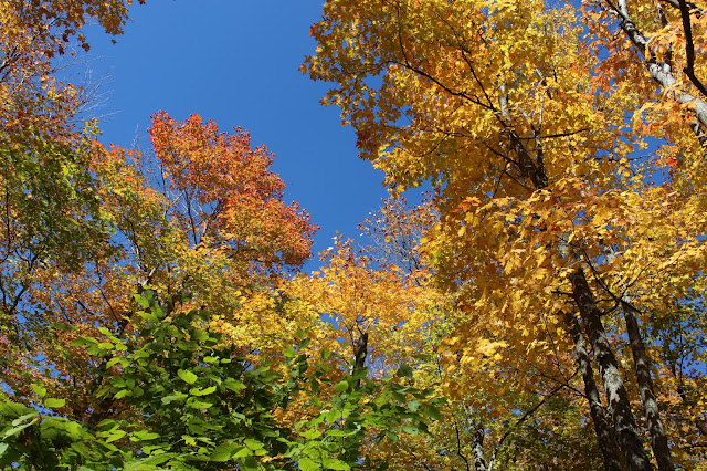
The herd path is only .2 of a mile and passes through gorgeous open woods. Bluebird skies made this a perfect day to be outside.
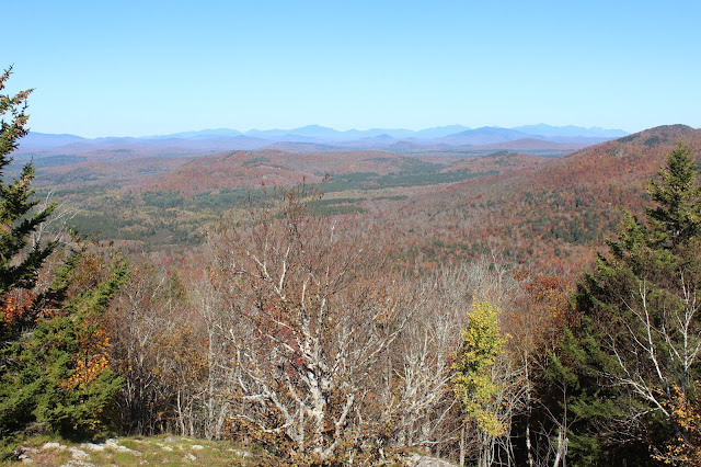
Arriving at the 2710 foot summit area, marked with a small rock cairn. Shockingly I was the only person there.Dropping down a bit to the south, there is another set of ledges that provide possibly the best views of all southwest over Kings Flow and Round Pond.
After wandering around the summit area for quite a while, I finally descended back off the mountain, arriving at the Puffer Pond trailhead. Headed southeast into the woods on a wide old woods road, quickly crossing into state land.
The trail was rerouted several years ago and stays on the north side of the wetland, which stretches an impressive quarter of a mile long.
The "new" rock hop spot across Carroll Brook, where the rerouted trail meets the old trail.
I turned left(east) and followed the trail towards the old Lean To, with occasional pond views.
The state no longer maintains the old Lean To, which sits at the northeast end of the pond, with nice water views.
The view towards Puffer Mountain from the old Lean To.
The foot path heads west, closely following babbling Puffer Pond Brook.
Puffer Pond Brook. The foot path was an old 19th century road that connected the communities of Indian Lake and North Creek at one time.
I continued west towards Kings Flow, before turning north and heading towards the parking area. I bushwhacked a few yards off the trail to catch a glimpse of Kings Flow stretching to the north.
Continuing north and just after crossing Carroll Brook, I arrived at the end of state land. From there it was an easy bushwhack east along the brook back to the DEC trail, which I followed out to the car.


No comments:
Post a Comment