Search This Blog

Saturday, November 30, 2019

Bloomingdale Brook Falls-Rensselaer Tech Park

The calm before the storm.  With a monster snowstorm forecast for the next couple days, I wanted to take a brief opportunity to stretch my legs and get a small late afternoon, post-work walk in.  Decided to check out the Rensselaer Tech Park Trails which I haven't been to in a year or so.  Much to my surprise, things have changed in that time.  Regeneron has built a sizeable parking lot where a meadow walk used to lead down to the trail system. Also, there is a small parking area specifically for the trails which had never been there before...as well as ample trail signage.  I was actually quite shocked to see so much change.  Followed the signs to the new trail entrance, which heads into the woods and skirts the edge of the parking lot over to the old trail entrance.
Once back onto the old trail system, I turned left onto the red marked trail, which closely follows the rim above a deep drainage cut. Soon the trail crosses over a sturdy well built footbridge and then up an impressive stone stairway.  Can't say enough about the trail work done here!
Once across the drainage you can really appreciate the depth of the gorge that has been cut out by a seemingly meek little stream. 
A closer inspection looking downstream.  Slick fallen leaves and a hint of mud on the steep slopes made this a bit of a tricky spot to really get a good vantage point.
The trail winds its way safely down to the edge of the brook, where the first of several small, but nice waterfalls can be enjoyed.
 The second falls is the most visually appealing in my opinion. 
 Yet another, smaller falls just a bit further downstream.
Looking up at the steep slopes above the base of the stream bed.
 I was pleasantly surprised to find one more change from my last visit here, when I had to use some fancy footwork to get across the brook.  This time, large stones have been neatly placed in line to cross the water and keep your feet dry.  Wow!  Great work!!
I continued the waterfall loop, climbing steeply back up out of the mini gorge using switchbacks on my way up.  In no time at all I was back out of the woods and heading back towards the car.  Just by chance, near the edge of the woods, I happened to notice a small trail, almost unnoticeable dropping down towards the stream again.  There were even a few sporadic green Tech Park trail markers and lots of flagging.
 
Wasn't really sure what to make of it so I decided to check it out.  It didn't really seem to go anywhere and there was a lot of dead fall blocking any real trail progress. Perhaps this is a future trail being built? 
Covered about one mile total and didn't see anyone else the entire time-guess they were all at the grocery stores stocking up on milk and bread.

Tuesday, November 26, 2019

Pine Cobble / East Mountain(Berkshires)

As November draws to a close, and we stare down the barrel of a long and cold winter ahead of us..it is days like this that you want to truly relish.  A cool start and a little early morning mist were just the precursors to a beautiful mid 50's degree, sun filled day.  My sunrise drive on my way to the northern Berkshires through the quiet Taconic farmland was so peaceful and serene that I had to soak in some of the morning views.  The Taconic ridgeline of Mount Lebanon to Perry Peak rise above the New Lebanon countryside here, marking not only the eastern horizon but the Massachusetts state line.
Birds of a feather...certainly flock together.  This small farm pond on the lower slopes of New Lebanon's West Hill provides a peaceful retreat for the local duck population, while offering their human counterpart unbeatable views of the Taconics that make up the Pittsfield State Forest.
A bit further north and east, on the slopes of Sheep Hill in rural Williamstown, the Greylock Massif is quite an impressive site.  A blanket of mist rises up from the valley floor and between the ridgelines creating a wonderful composition.
I wanted today's hike to not only be a revisit to Pine Cobble, a fantastic rock outcrop on the south face of East Mountain, but a bushwhack venture to East Mountain's true summit and a visit to a spot on some maps called Bear Swamp.
The trail portion of the hike is a steady climb up from under 700 feet to start through an open hardwood forest.  There was very little if any snow down low, and mud underfoot to start.  Once above 1500 feet, the trail becomes a rock stairway, with screened views to the valley below.
A final steep push up through a couple inches of crusty snow got me up to 1893 foot Pine Cobble, with some really incredible views.  The nearby ridgeline that makes up the Clarksburg State Forest is easily visible above rock outcropping and low brush.
Just a few yards further is the spectacular view down into the Route 8 valley with the Hoosac Range rising above on the horizon.
Circling around a bit further to the west is the best view of all.  Nearly all of Williamstown and its surrounding peaks spread out before you.  This sweeping view encompasses (L-R)the Greylock Range, Brodie Mountain and the Taconic Ridge beyond.  The many peaks along the Taconic ridge can be hard to pick out, but Misery Mountain, Berlin Mountain and Mount Raimer are the peaks visible here.
A bit zoomed in, the view towards Williamstown with Berlin Mountain and Mount Raimer high above.
After enjoying the views on Pine Cobble I continued north, picking up the Appalachian Trail for a short distance before doing some off trail exploring to check out one of several enormous rock strewn boulder fields. 
Basically what I found were jumbled rock piles sporadically placed on much of the East Mountain ridge.  I found this large boulder field on WRLF(Williamstown Rural Lands Foundation) property, off trail, but good views west towards the Taconics.
 Passing by another large, jumbled pile of rocks, interspersed with pines and oaks.
As I gained elevation up and over 2000 feet and passing back over into the Clarksburg State Forest I began to encounter more snow.  I continued my bushwhack on top of about 2 to 3 inches of crusty snow to the nondescript 2254 foot summit of East Mountain.
I crossed over the Appalachian Trail, which had not been used since the last snow, making my way towards the area called Bear Swamp.  Suddenly the hardwoods quickly transitioned to conifer as I dropped down towards the swamp.
I truly had thought that I was alone in the woods, until I saw this large bear track in the snow, heading the same direction as I was.  I guess that's why they call this Bear Swamp. 
 Bear Swamp was really just a large wetland, that may be more impressive when the vegetation is green.  Today, the Swamp took on a wintry appearance and I stopped to relax for several minutes in this quiet no-man's land.
 Using Bear Swamp as my turn around point, I headed back from there, soon picking bakc up on the Appalachian Trail, which continues south along the ridge of East Mountain towards the Pine Cobble Trail.  I stopped briefly along the trail to check out yet another boulder field, this one, complete with several rock cairns and an over the tree top view of the Taconics.  This spot is known on maps as Eph's Lookout, although today it is really not much of a "lookout".
Passed by a couple other people once back on the Pine Cobble Trail, each out enjoying a sun filled, mild, late November day.  Hiked about 5.5 miles RT, with 1800 feet of ascent.
Today's Route.     Red=Trail     Blue=Bushwhack


Monday, November 18, 2019

Taconic Crest Trail-Potter Mtn Rd to Berry Pond(Taconics)

With a chance of freezing rain and a bit of uncertainty in today's forecast, I decided to stay local and do a leg of the Taconic Crest Trail, just over the state line in Hancock, Massachusetts.   The section I would be hiking today was a part I had never hiked before from the end of driveable Potter Mountain Road south to Berry Pond in the Pittsfield State Forest.  From Route 43, directly across from the hamlet of Hancock, Potter Mountain Road heads east into a deep hollow, with great views of  surrounding farmland and Pease Ridge, the ridge I would soon be hiking, above.
I parked in a small pull off about 20 yards before a metal gate on Potter Mountain Road.  All of this section of the Taconic Crest Trail is actually part of the Pittsfield State Forest, where ATV traffic is allowed in many parts.  Elevation at the gate is 1400 feet, and a coating of snow and icy ATV tracks covered much of the road.
The trail follows the road briefly, climbing with screened views towards neighboring Jiminy Peak's wind turbines to north, before turning sharply south and entering a hardwood forest.
Once entering the woods, the trail climbs sharply up towards the ridgeline, utilizing several switchbacks to ease the ascent. Nearing the ridge, filtered views can be seen through the bare winter trees back over Potter Mountain Road towards Rounds Mountain
Once atop Pease Ridge, above 2000 feet, the trail clings to the top of the ridge, heading south-southwest, with screened views much of the time. 
Tree art along the trail.  The harsh winter conditions atop this ridge can have these effects on the trees.
The Taconic Crest Trail can be very deceptive because it has many ups and downs as it attempts to stay near the crest of the ridgeline.  The high spot for the day was a 2275 foot bump(part of Poppy Mountain).   
The trail passes through the high spot which sits in a very large, open meadow of ferns, prickers and low brush. 
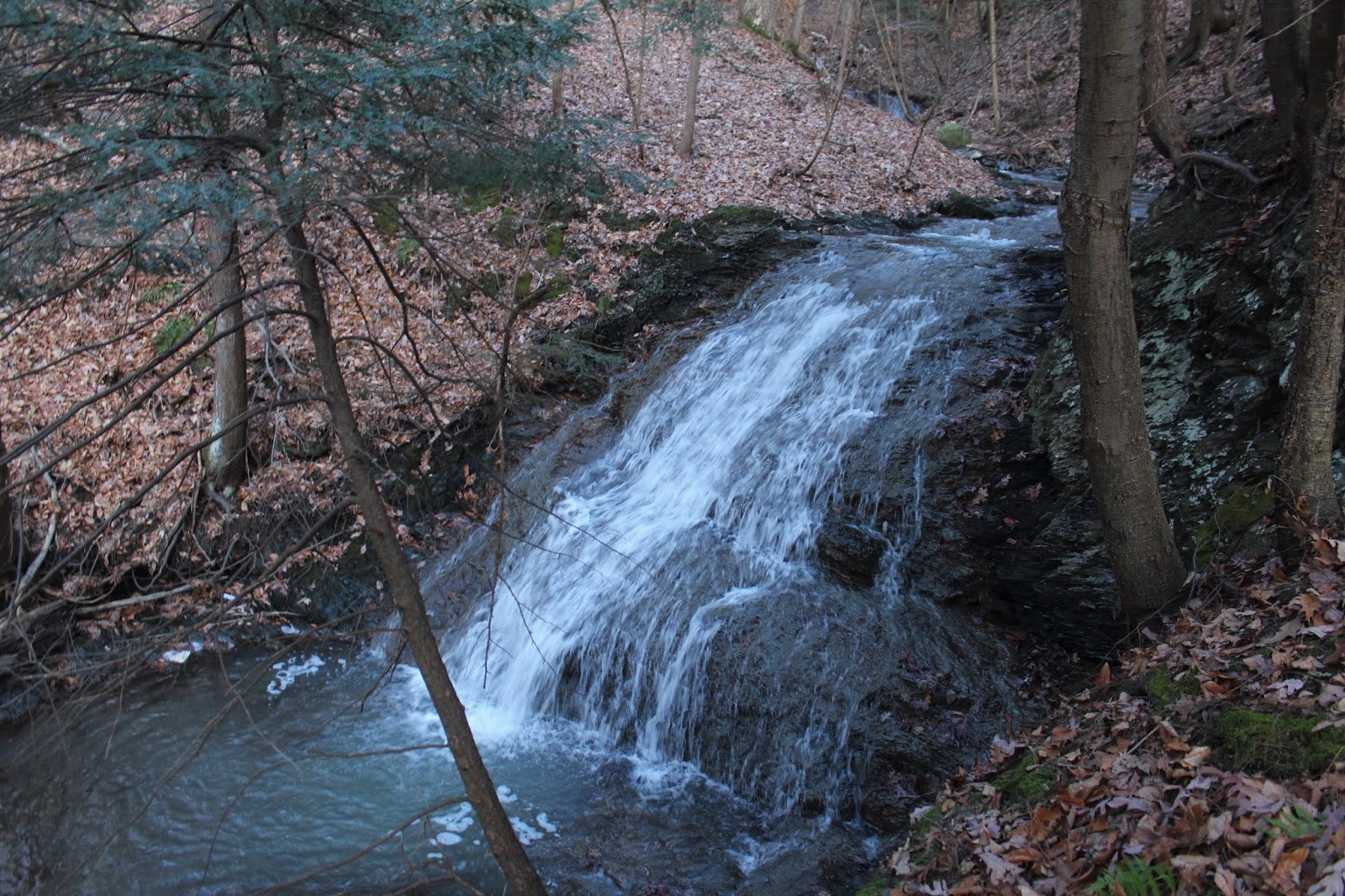
Continuing south beyond the high spot, the trail drops and re-climbs a couple more times, meandering its way through quiet, snow covered hardwoods.  Crossing a small stream here, which drains a wetland between ridgelines. 
As I neared the Berry Pond Circuit Road, the TCT hugs the top of the steep slopes above Goodrich Hollow to the west.
Once I hit the paved Berry Pond Circuit Road(the main road in the Pittsfield State Forest), I quickly left it again, passing through a large field that is covered in azaleas in the spring time. 
After a very brief woodland hike, the trail meets back up with the Circuit Road in a large clearing, with perhaps the best views along the entire Taconic Crest Trail.  The vista is spectacular, spreading nearly 180 degrees west into New York State.
A look NW towards the highlands of the Rensselaer Plateau.  The raised bump in the foreground is a small 1722 foot summit called The Pinnacle.
After enjoying the views, I continued a short distance further along the Circuit Road, where a short drop brings you to the shoreline of Berry Pond.  A thin coating of ice covered the pond, which is reputed to be the highest natural body of water in the state.
Walked around the shoreline to a campsite area, where I stopped to relax for a few minutes.  This spot, with a view of the radio tower atop Berry Mountain, proved to be my turn around point, as I headed back north along the TCT after this. 
Instead of taking the TCT the entire way back, I used the Taconic Skyline Trail for a little while.  The Taconic Skyline Trail is the off road vehicle trail atop the ridge and basically parallels the Taconic Crest Trail,offering an alternative route.   I was actually surprised to see recent tire tracks(probably from this past weekend).
The Skyline Trail did offer a nice change of pace as I followed it north for about a mile, but because of the recent use there was a lot of ice on the trail.
I decided to leave the Skyline Trail and bushwhack a short distance west between the trails, picking back up on the TCT, which I followed back to the car with a light but cold rain falling.  My car read 35 degrees when I turned it on, meaning I had luckily missed any freezing rain for the ride home.  Hiked a total of 7 miles RT with nearly 2000 feet of ascent.  Stopped for a moment along Potter Mountain Road to say hi to the locals before heading out.  A very nice day in a peaceful area just off the beaten path. 
Today's route.  Red=Ascent    Blue=Return/ Descent

Monday, November 11, 2019

Mount Whitbeck & Mount Sterling(Berkshires)

After my earlier hike at Ski Butternut in Great Barrington, I headed a little further west to the nearby Mount Washington State Forest to hike 1904 foot Mount Whitbeck and 1988 foot Mount Sterling, a pair of untrailed peaks.  I parked at the corner of East Street and West Street, directly across from a large, open field called Cattleshed Field at an elevation of 1520 feet.  A small view north across the field provides a glimpse towards some of the other southern Berkshires.
I headed into Cattleshed Field, descending  east through the open fields.  A dated, stone building sits down near the base of Cattleshed Field, and appears to have been some kind of farm structure.  The structure is showing obvious signs of despair, with a crumbling tin roof and no walls left at all on the east side. 
Just a few yards past the old building, from the very bottom of the open fields, looking back towards my car, with the ridge of Prospect Hill beyond.
From the bottom of the fields, I entered the woods, quickly crossing over pretty Karner Brook with an easy rock hop.  This marked the low spot in the hike at a little over 1400 feet.
Once across the stream, I headed NE through open hardwoods, finding a couple of woods roads on the way.
The west slopes of Mount Whitbeck were incredibly open and I made great time ascending until I neared the summit ridge.  Once near the summit, I left the open hardwoods behind and entered into thickets of mountain laurel.  Luckily, I found my way through game/ herd paths which made things a bit easier. 
Once atop the summit ridge, I wandered through thicker stands of mountain laurel in search of the summit. 
I poked around until finally I found what appeared to be the 1904 foot summit, with just a hint of snow in a small hardwood clearing.
I dropped off Mount Whitebeck's summit, heading south towards the col between Whitebeck and Sterling, where I stumbled across a pretty, partially frozen vernal pond.
The east slopes of Mount Sterling are quite steep, but I had a hard time getting much more than a screened view through the trees. I would've loved to have explored more in search of views, but the mountain laurel was absolutely exhausting to push through.
I did my best to push my way up towards Mount Sterling's summit, but the mountain laurel guarded the summit, making any progress impossibly slow.  It was very frustrating as I struggled to make my way forward, fighting for every step.  I finally found what I believe was the summit in thick stand of mountain laurel. 
After reaching the summit, I wasted no time leaving the mountain laurel behind, heading west back into open woods.  A short distance off the summit, I found another pretty vernal pond, this one slightly smaller than the other I had seen before. 
Once back in the open woods, I made a quick descent, passing over a couple more old tote roads.  Down on the lower slopes of the mountain, the woods were incredibly open...such a relief after the struggle up high on the ridge. 
Crossing over picturesque Karner Brook.
Looking back on the final climb up through Cattleshed Field, with the dilapidated barn and ridge I just climbed behind.
Hiked about 3.3 miles RT with 800 feet of ascent.  The route below.  Red=Ascent  Blue=Descent