Started at an elevation of about 840 feet as I made my way over to one of the main ski runs, called "Main Street".
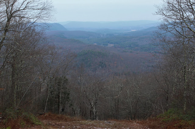
I immediately began climbing, and within moments already had some views behind me to the north.
I stuck mostly the sides of the slopes, following the tread of the service vehicles.
As I pushed up the slopes, I could hear rushing water in the woods, so I decided to poke my head in and check it out. The pretty stream tumbling down through the hemlock ravine offered up a much more natural scene than the open ski slopes.
Once back on the ski run, I crossed over a maintenance road high up on the mountain, switching over to the steeper "Whip" run.
Thank god for the open ski slopes! One glance off trail provided a glimpse of thick mountain laurel, which cover many of these southern Berkshire peaks.
The "Whip" run heads steeply up towards the summit ridge, soon meeting up with the "Pied Piper", the final push up to the summit.
Arriving at the 1764 foot summit of Warner Mountain, where I found some small patches of snow scattered on the ground. A local radio tower can be seen as well, just off the summit through the trees.
The summit view down the black diamond "Lucifer's Leap" trail to the north.
After exploring the summit area, I headed back west, down the "Pied Piper" run, a mellow descent.
Up high in a notch at about 1500 feet, I left the ski slopes again checking out some of the woods of East Mountain State Forest. I found mostly open woods, with scattered mountain laurel and a pretty vernal pond, which looks like it has just started freezing over.
Back on the ski slopes again, this time on the "Freewheeler" trail, which is the furthest west of all the runs, I found some of the best views of all. North views up towards Monument Mountain, with Three Mile Hill to the right in the foreground.
To the immediate left is East Rock(the northern extension of neighboring East Mountain), with Tom Ball Mountain and the Taconics in the distance left. In the center is the valley of the Housatonic and Flag Rock/ Monument Mountain rising up to the right.
One more view of Monument Mountain over Three Mile Hill, with a corner of Beartown Mountain to the far right.
Once back down at the base of the mountain, I headed back over towards my car, passing by the several of the ski slopes on my way,
Very soon these ski slopes will be all hustle and bustle, filled with skiers enjoying the winter snows. Today all was quiet, as I hiked about 3 miles altogether with 1100 feet of ascent.
Today's route below. Red=Ascent Blue=Descent


No comments:
Post a Comment