Search This Blog

Thursday, January 29, 2015

Deer Mountain Nature Trail(Albany County)

Went for a walk after work at the 170 acre Deer Mountain Nature Trail, owned by Lafarge North America Cement corporation and located just outside of the Village of Ravena in the town of Coeymans.  The cement company dedicated the trail in 1995 and has 3+ miles of trails open to the public.
 The trail can be found by taking County Route 101 just south of Ravena High School and then a left onto Jarvis Road North and finally a right onto gravel Deer Mountain Village Road.  A sign and small parking area amidst the quiet woods is where you get started.
From the parking lot, you cross a small field to a kiosk with trail map.  Turning left towards the East Trail, you will pass by a pleasant, shallow pond.   There was even some open water in the pond, and a pair of ducks flew off as I arrived.
 There are a few small streams that run though the woods and even cross the trail.
 Steep hills covered in hemlocks and chesnut oaks run alongside the East Trail.
 Hemlocks crowd this area of trail.
 A steep part of the trail is made much easier with railing and wooden steps.
 From the top of the steep slopes is a nice vantage point over the woodland below.
 A large wetland borders the trail for part of the distance.  The wetland is in a ravine between two hills and both trails follow the edge of the swamp.
 After one mile you come to an abrupt end to the East Trail.
 After retracing my steps for one mile I crossed the small field near the kiosk and re entered the woods on the West Trail.
The West Trail follows a swamp and has several very wet areas, where wet boots are likely.  Unfortunately after about half a mile I was forced to turn back due to darkness setting in.  Hiked a total of 3.19 miles total.
  Driving back on County Route 101, there are several views of the sprawling Lafarge Cement Plant, owner of the Deer Mountain Nature Trail.

Wednesday, January 28, 2015

Schodack Island State Park(Rensselaer County)

Got out for a nice walk at Schodack Island State Park after work today, located along the east shore of the Hudson River in Southern Rensselaer County.  The 1,052 acre Park is accessed off of Route 9J less than ten miles south of Albany.  Driving south, take a right turn at the large state park sign and follow the State Park Road until its end. 
There are over 8 miles of trails and many different trail options throughout the park.  A pleasant picnic area near the boat launch area provides wonderful river views.
 Here is a look upstream at the snow and ice covered Hudson River.
 A closer look at the Castleton Bridge(carrying traffic on the New York State Thruway Berkshire Spur) in the distance just beyond the Alfred H. Smith Memorial Railroad bridge in the foreground.
 I took the red marked trail that leaves the south end of the parking lot and passed several X-C skiers taking advantage of the several inches of fresh new snow pack.
 Peering up through the trees at the waxing gibbous moon.
 I followed the red trail, which is a wide woods road that follows the western boundary of the park  near the Hudson's shores.
 The Lafarge Cement Plant and Port of Coeymans Marine Terminal are located directly across the river to the west in Albany County.  Here is a look at part of the cement plant.
 Working roads and equipment across the Hudson at the Port.
 I could see a few vessels through the thick brush and trees.
 One of the clearer spots, where a view of the port can be seen.
 A screened view down to the frozen river just past the cattails.  Coeymans Landing Marina is located just to the south of the Port.
 Unfortunately, the park's gate was scheduled to close at 4:30pm so I was forced to turn back a bit earlier than I wanted to.  The walk back amongst the late afternoon shadows was very pleasant.
Fleeting sunlight.
 After arriving back at the parking lot, I took one last short walk down for a look at the setting sun over the wintry Hudson River.
Leaving the park and looking up at the Alfred H Smith Railroad Bridge, which has a clearance of 139 feet and was completed all the way back in 1924.
Walked 3.17 total miles on a cool but comfortably sunny winter afternoon.  Felt great and would've loved to kept going.  Looking forward to longer days.

Sunday, January 25, 2015

Roeliff Jansen Park(Columbia County)

Got out for a nice winter walk at the Roeliff Jansen Park in rural Columbia County, near the Massachusetts/ New York state line.  The park can be found by continuing south on Route 22 past the intersection with Route 23 in the town of Hillsdale for about half a mile to the parking lot on the left just beyond a bridge over the Roeliff Jansen Kill.  From the parking lot, the main trail ascends into open fields and a small dog run trail leaves to the right.
 The combination of brilliant sunshine and rolling snow packed fields was at times nearly blinding.
 There are several well placed benches throughout the park to stop and relax, soaking in the fresh air.
 The South Meadow Trail provides a beautiful glimpse towards the Southern Taconics.
 Cows and farmland meet the South Meadow Trail, making for a pleasant pastoral scene.
 Footprints crossing the wide open fields.  Unfortunately bitter winter winds made these areas very uncomfortably bitter.
 Looking north towards Hillsdale with the church spire rising amongst the trees.
 A panorama looking south near the woods trail.
 The Roeliff Jansen Kill can be found along the very north area of the park.
 The beautiful Roeliff Jansen Kill is a major tributary of the Hudson River, winding 56 miles through mostly rolling farmland of Columbia and Dutchess Counties.
 A tinge of color along the creek in back of the hay barn.
 The large silo standing proudly near the parking lot.
Kalli and I walked 2.77 miles through the winding hills and fields of Roeliff Jansen Park on a sunny but blustery Sunday afternoon.

Friday, January 23, 2015

Swift Wetland Preserve/ Phillipin Kill Preserve/ Ashford Glen(Capital Region)

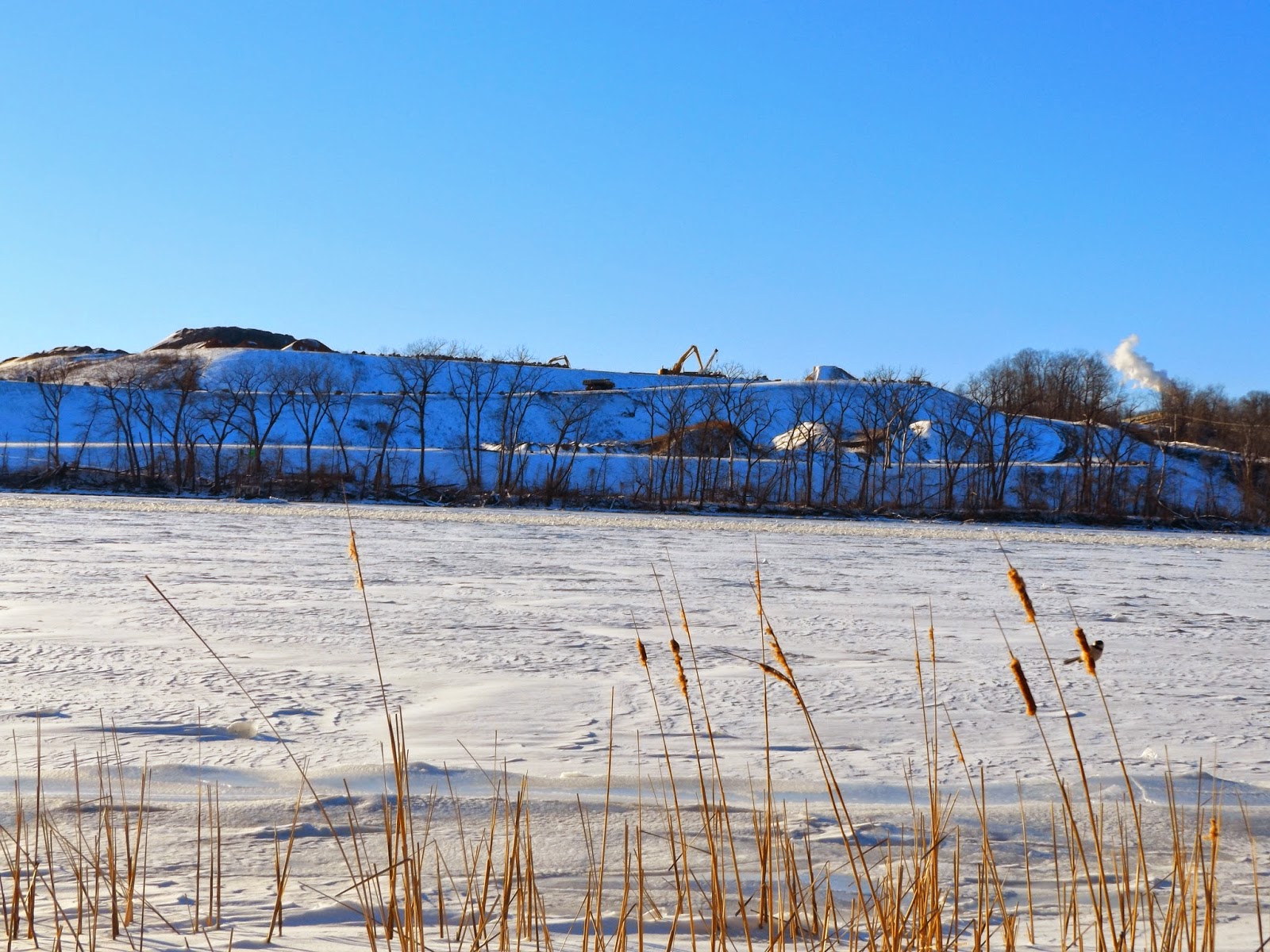
Got out and explored three local preserves this afternoon after work, on what turned out to be a pretty nice January day.  All three preserves are owned and managed by the Mohawk Hudson Land Conservancy, which does a phenomenal job protecting land and to date has preserved over 3000 acres locally, with 1700+ acres open to the public.  Started at the 21.6 acre Swift Wetland Preserve which is located in a residential section of Delmar just off Delaware Ave.  The preserve can be accessed by following Evelyn Drive until its end.  The yellow trail starts just past a very nice kiosk and wanders through woods that are surrounded by residential neighborhoods.  All the trails are level and make for easy walking.
 A one acre man made wetland was built to help compensate for the natural wetlands that were filled in.
 The preserve was created to protect remaining wetlands after homes were constructed on neighboring parcels.
 The trail is usually very damp, but mostly crusty snow and ice now.
 A blue marked trail continues south all the way to Route 443(Delaware Ave), where traffic can be seen rushing by.
After leaving Swift Preserve I headed just a little further down Delaware Ave to the Phillipin Kill Preserve.  This 20 acre property is located off of Fisher Boulevard and designated parking can be found in the Mansions Apartment parking lot.

Just beyond the kiosk, the trail drops quickly down a steep slope where icy footing can cause problems.
 
 The late afternoon sun shining down on the small footbridge, which crosses an unnamed stream.
 The small, unnamed stream in a blanket of snow and ice.
 The "natural" feel of the preserve is somewhat limited by the Mansions Apartments, which hover over the steep banks of the wetland.
 The preserve's trails wind up and over a small ridge line, where snow holds firm in the lower, shaded areas, and bare ground is found on the upper slopes.
 There re over 1000 feet of frontage on the Phillipin Kill, which can be readily seen just off the red marked trail.
 Most of the Kill was completely frozen over, although the sounds of running water could be faintly heard beneath.
 There are even a couple of benches to stop and soak in the beauty of the mixed upland, floodplain and wetland.
Both of these preserves make for nice, short walks and are accessible to many people, giving almost a "town park" like feel.  After leaving Delmar, I drove a little north to the Colonie/ Niskayuna town line where I visited he Ashford Glen Preserve.  Another small preserve, this 11.5 acre glen is found just west of Latham by continuing on Troy-Schenectady Road to Vly Road, where a right onto Brookhill Road and then another right onto Cascade Terrace leads you to Ashford Lane.  You must look carefully to find the preserve, where a wooden fence is located in the woods.  Parking is along the road near the fence.
 The trail immediately drops into the shaded glen, where evergreens dominate.  It is noticeably cooler once you are in the glen.
 The Vly Creek, a tributary of the Mohawk River runs along the very bottom of the steep banks.
 The trail is straight and easy to follow, basically following the creek south along its banks.
 Felt nice to get out for a couple miles of easy walking on a comfortable, sunny mid winter day.  As I headed home, I stopped to take in the sunset just beyond the Albany Airport in Colonie.