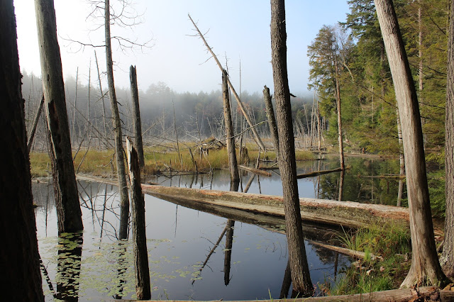
We began on the Long Swing Trail heading southeast past a couple of marshy areas, still shrouded in fog.
The forecast was for the fog to break and within a few minutes we could already see some brightening.
A short distance in, we left the trail and headed for the steep rocky cliffs on the west side of Blue Hill. The ground was covered in deadfall and fallen rocks as well as duff, making it a very slow go.
We arrived at the base of a long series of 70 foot rock cliffs, which we flanked to the northeast looking for a way up.
We finally did find a chute to get up through and were above the cliffs. Once atop the cliffs, we wandered around in search of views. Peek a boo views provided a glimpse northwest over Cotters Pond with the fog still breaking up. The foliage looked quite nice on the hillside as well.
Fog breaking up with the Dix Range off in the distance.
We skirted the southwest edge of the peak, just below the summit area, arriving at a wide open area with very good views. The wetlands of Alder Brook can be seen winding below and the north end of Schroon Lake beyond.
The open ledges on the southwest side of the peak were much broader than we had imagined and offered up plenty of good views.
The open slopes provided views back over Crane Pond and towards Pharaoh Mountain.
A view towards Crane Pond from higher up on the mountain.
The gorgeous, open slopes on Bear Mountain.
Continuing the ascent, we soon found a large, open area on the southwest side of the peak, which offered up the first of many spectacular views. The view here is down over Tubhill Marsh in the foreground and Crane Pond beyond.
Another perspective of Bear Mountain(front) and Blue Hill(back), the peaks we had just come off.
The entire eastern escarpment of the mountain is beautiful and mostly open.
Ascending Potter Mountain's eastern escarpment. This entire stretch was like hiking on a paved sidewalk.
Gaining elevation only improved the already great views. Here's another southwest look towards Pharaoh Mountain(L) and Crane Pond(R).
Dropping off the northeast end of the escarpment provided the very best views of all, directly over Gooseneck Pond and all the way towards the Green Mountains of Vermont on the horizon. Bear Pond Mountain is the peak rising above the pond.
A perfect fall day in the woods, with about 8 miles round trip and roughly 2000 feet elevation gain.


No comments:
Post a Comment