Brought my nephew Holden up to southern Vermont for a nice hike on another beautiful Saturday to Bald Mountain. Bald Mountain is a 2857 foot peak located in the Glastenbury Wilderness Area of the Green Mountains. The mountain can be accessed from a couple of different ways, but I would be approaching from Woodford Hollow. The trail and parking can be a little tricky to find. A private drive continues straight where the trail is entered to the left in the woods.
This sign marks the beginning of the trail.
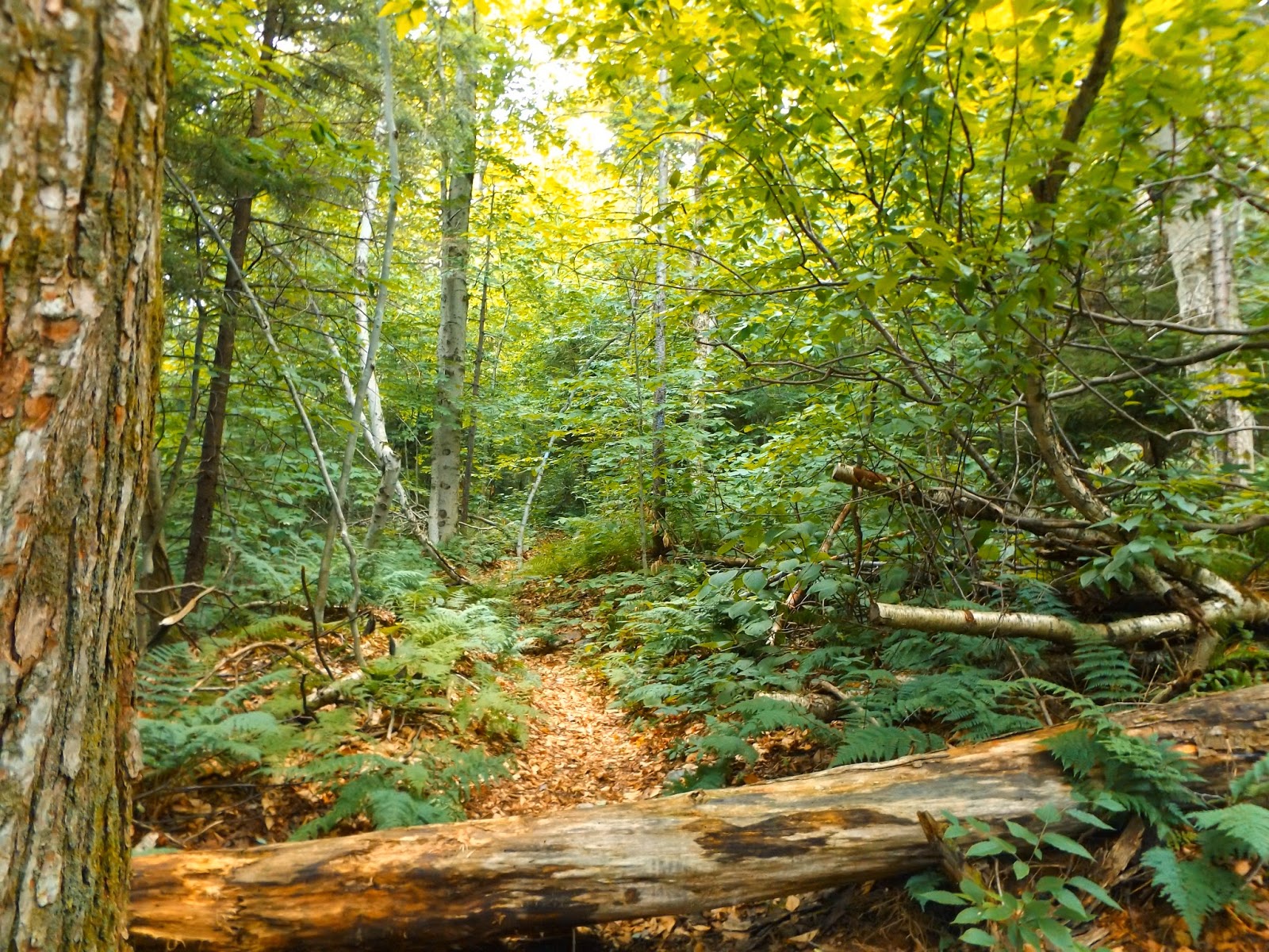
The first .3 of a mile follow a wide woods road, which can be damp as it was today.
After entering the wilderness area, the trail turns into a single lane path.
The trail climbs steadily the entire way. Never overly steep, but continuous climbing.
After nearly a mile and a half of climbing, we entered a beautiful evergreen forest.
The trail continues its steady climb from here.
Screened views begin to open through the trees as you approach the summit.
The trail leaves the deep woods and begins climbing over white rocks towards the summit clearing.
As the trail begins to level out, there are some views available beyond the tree tops.
The last push to the top.
While not the true summit, the large clearing at the trail junction is a truly amazing place. The views are good above the stunted trees all around you and crushed white stone everywhere.
Holden at the rock cairn trail junction.
The trail follows the ridge for a little over .1 of a mile to the true summit.
A large white rocky area on the ridge top.
The true summit is marked by a large rock cairn.
Just a few feet past the summit is a large clearing with a fire ring. While not a formal camping spot, it looks to be fairly well used.
The trail winds its way beautifully along the ridge line, walking on the white crushed stones.
A unique summit experience.
White soil and crushed stones are remnants of a large forest fire that cleared the summit area in the early 20th century.
The trees are all stunted at the summit area due to harsh winds and tough winters. Holden is nearly as tall as the trees seen here.
A view south and east at many nearby peaks.
We lingered and wandered around the summit area for about 25 minutes or so before heading back down. The way down was fairly quick and descended steadily back to Woodford Hollow. RT was about 4.0 miles total.
After leaving Vermont we stopped by the Capital District Wildlife Management Area to take a look at a couple of small waterfalls in the Black River. A small parking spot near the river provides trail access.
The trail wanders through ferns and hardwoods.
After only about .25 of a mile the first falls is seen. It was the site of an old mill and makes for a nice scene.
Above the first falls is a spot where the Black River flows downstream swiftly.
The second falls upstream is a bit smaller but still picturesque. It empties into a large pool below.
Headed back home after a nice day out in the woods.


No comments:
Post a Comment