Although the forecast called for cloudy, showery conditions, today was the last day of my vacation so I asked my dad to accompany me on a short hike. I had just recently read about Boice Family Park located along the banks of the Kayaraderosses Creek near the hamlet of Rock City Falls in the town of Milton, and was anxious to explore it. The park was donated to the town when the Boice family sold the land for a housing development.
To get to the trail head, follow Route 29 west out of Saratoga Springs until you reach Rock City Falls, and then bear left(south) onto County Route 49(Rock City Road). You will cross the creek twice on this road, and just after the second crossing, you will turn west onto Creekside Drive, where a small parking lot and kiosk will immediately be seen on your right. The trail begins near an orange sign behind the kiosk.
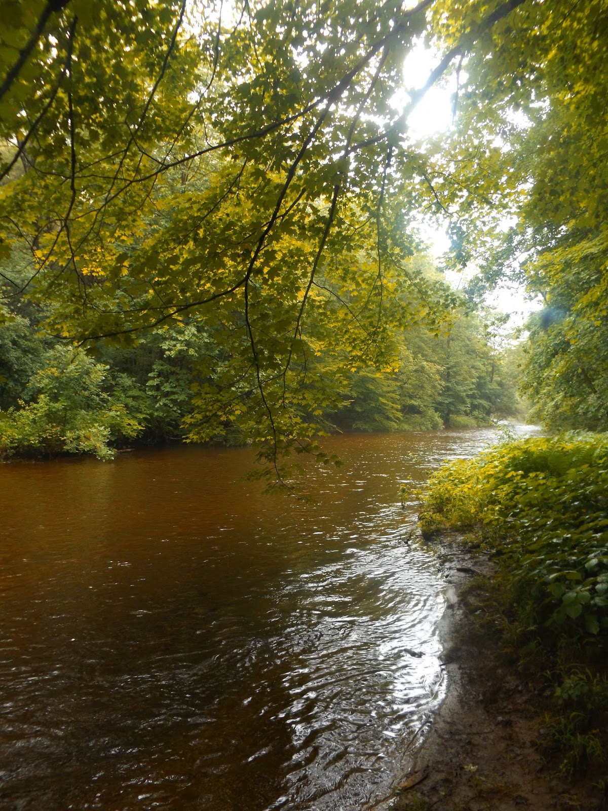
The trail immediately drops down through the woods to the banks of the Kayaderosseras Creek.
The trail and surrounding woods were very damp from recent rains. Mushrooms flourish in these conditions and were spotted in several spots along the way.
An area of logging appears on your right as the trail breaks away from the creek At one point the orange marked trail crosses the logging road.
After a short distance through deeper woods and along old stone walls, the trail meets back up with the creek following its banks for quite a distance.
It appears that fishing is permitted, as we found these signs in various spots along the creek.
We came to this trail junction, where red continues south along the
creek and orange returns back to our car. A blue marked trail also
leaves towards the housing development from here.
There are currently three marked trails in the park and all are well marked by colored discs.
There are many fine spots to check out the creek, as the waters alternate between calm, still areas to others with rapids and strong currents.
High water and fast flowing current.
The trail is so easy to follow along the creek, that signage is barely needed.
Further along the red trail, the creek tends to turn more wild and contain more rapids.
This was a nice boardwalk over a wetter, marshy area where the creek bends sharply. The red trail ends just after this, meeting back up with the blue trail(which follows the old rail bed) after about 1.65 miles. We retraced our steps along the creek from here.
Everything was damp on this humid morning. Here are some fresh rain drops.
This is a nice look at the spot where Crook Brook runs into the Kayaraderosses from the west.
We managed to dodge a few rain drops on the return walk, but stayed mostly dry for a pleasant 3.3 mile walk through the woods and along the creek. We didn't see another soul the entire time in the woods.


No comments:
Post a Comment