Search This Blog

Tuesday, November 17, 2020

Albany Pine Bush(Blueberry Hill & Kaikout Kill Barrens)

Had a small window of time between appointments Tuesday morning in Albany so decided to get a little exercise in at the Albany Pine Bush.  Parked at the end of South Frontage Road under mostly cloudy skies.  The white marked trail heads south, leaving the sounds of the surrounding traffic behind.

While you are never away from the nearby hustle and bustle, the dunes and pitch pine-scrub oak barrens give a small sense of wilderness and beauty.

The trails are well marked and very easy to follow.
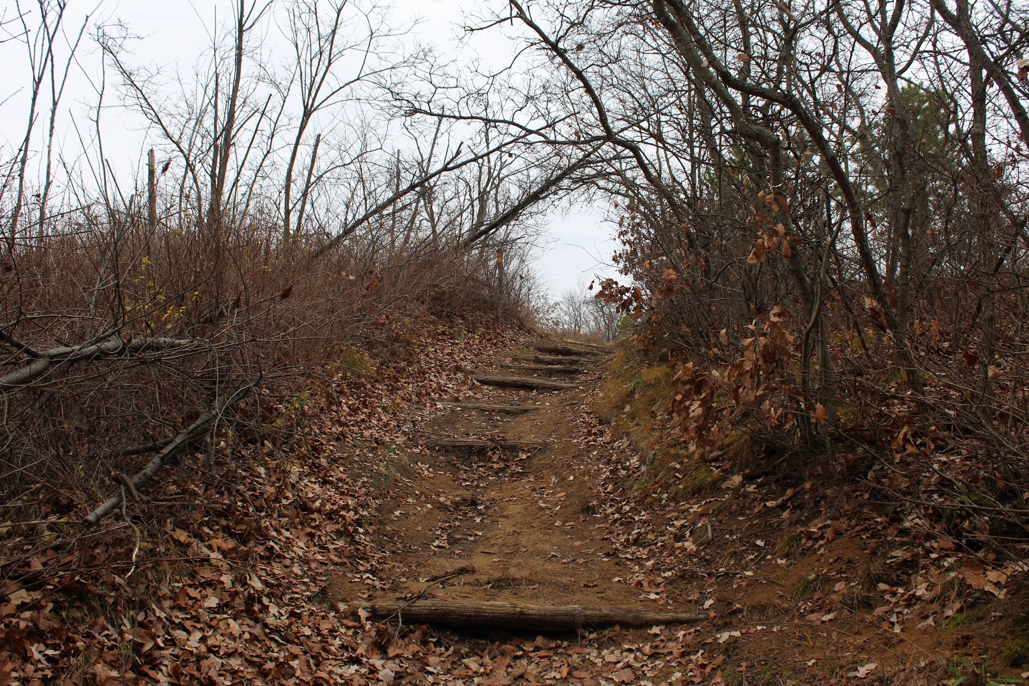
From the white trail through the Kaikout Kill Barrens I soon met up with the red blazed Blueberry Hill West Trail, which climbs steadily to the top of the hill.
From the top of the hill on a clear day, there are fine views all across to the Helderberg Escarpment and even the distant Catskills.  On this overcast morning, I couldn't see beyond the surrounding dunes.
Completed the red loop and then back to the car via the white trail for a total of 2.7 easy miles RT.
 

Mount Tobias(Phoenicia-Mount Tobias Wild Forest-Catskills)

Sitting almost directly in the heart of the Catskills is 2543 foot Mount Tobias, a mountain with no trails and that gets very little attention.  If you've ever driven Route 212 or any of the roads near Woodstock, chances are you've seen Mount Tobias rising high above the surrounding countryside.  It is also visible from several of the surrounding mountains as well.  My plan was to hike up the mountain from a DEP parking area along Route 212, which sits almost directly across from Woods Road.  When I arrived, however, it quickly became clear that I would not be able to safely(or for that matter comfortably) cross the Beaver Kill, which was running strong. 

After being thwarted in my attempt to cross the creek, I decided to drive back NE on Route 212 a short distance to another spot where DEP land meets the road.  Thankfully, I was just barely able to squeeze my car off the shoulder of the road here and headed into the woods, elevation 1025 feet to start.  The climbing commenced almost immediately, and I was able to pick up a decent woods road going up.
Within just a few minutes of climbing, I was already able to enjoy views back towards Little Rocky and Olderbark Mountains.
As I climbed, I kept looking back over my shoulder at a fast approaching snow squall, that was quickly obscuring any views to be had.
The snow squall was moving in fast and furiously, accompanied by brisk winds.  In the blink of an eye I was enveloped by snow.
Winter is coming.
The slopes on the north face of the mountain are quite steep, but very open woods make for a pleasant climb.
The snow was really coming down, coating the ground in just a few minutes time.
Intense snow band moving through on my ascent.
Almost as if someone hit an "off" button, the snow abruptly came to an end, leaving behind an enchanting coating of white.  Around 1900 feet, I began to hit the first patches of conifers.
Within just a few minutes, not only did the snow stop, but the sun broke through the clouds, brightening up the dark woods.
Near 2300 feet, circling around a nice set of cliff bands, bathed in late afternoon sunlight.
High up on the mountain I was able to find some peek a boo views towards Carl Mountain and the peaks just north.
Although I couldn't find any grand views, there are many fine through-the-trees-views towards the neighboring peaks.
Emerging atop the summit ridge, I caught my first glimpses through the bare trees to the mountains south of Tobias, near the Ashokan Reservoir.  The ridge is quite flat near the summit and sparsely covered in trees.
One last small push up brought me to the 2543 foot summit, where I found a rock cairn marking the top.
Instead of descending the exact same route I came up, I decided to drop east, then north, exploring a different area of the mountain.  The slopes were quite steep in spots, but I was easily able to navigate my way down.
Back down below 2000 feet, I was able to catch broken views down into the valley, where a wall of snow showers had obscured any views earlier.

Enjoyed a nice and easy decent down the lower slopes and back to the car.  Hiked 3.5 miles RT with over 1500 feet of ascent. Although lacking any long distant views, this was still an enjoyable little bushwhack and of course I didn't see another soul all day.

Today's route below.  Red=Ascent   Blue=Descent


Thursday, November 12, 2020

East Greenbush Town Park

Did a very short after work walk this afternoon at the 120 acre East Greenbush Town Park on a cool, but comfortable overcast afternoon.  There was only one other car at the park when I arrived, as I set out along the dammed area of the North Branch of the Moordener Kill.

Followed the yellow blazed trail along the North Branch below the dam for a bit, soaking in the tranquility. 
I took my time, enjoying the fresh air on various trails at the park.
Did just over one mile total.  A nice and easy, local place to get some exercise.
 

Tuesday, November 10, 2020

Albany-Hudson Electric Trail(Town of Schodack, Rensselaer County)

Oh, what a spectacular stretch of November weather we've had!  I finally had a little free time on Tuesday, to get out and soak in some of the sun filled, 70 degree days that we've been enjoying this past week.  My wife joined me for a nice walk on a section of the brand new Albany-Hudson Electric Trail, which is part of the larger state wide Empire State Trail project.  The trail is a shared bicycle and pedestrian pathway that follows an old trolley line that ran from Hudson to Albany back in the early 1900's.  The section we chose to walk today was from Miller Road(Exit 10 off I-90) to Nassau Lake, in the town of Schodack.  We spotted a car at the Nassau Lake trailhead and caught a ride out to Miller Road to get started.  

Our walk began here, hugging the Exit 10 ramp along the interstate, staying high above it on the hillside. 

Fear not, for the sounds of rushing traffic are quickly replaced by the quiet serenity of the woods.  Heading SE, we soon passed by a small, serene pond.
The peaceful stretch of trail beside the pond.  Even spotted an old, beat up rowboat in the water.
We really couldn't have asked for better conditions.  A very light breeze, no humidity, and temps in the low 70's.  Perfect.  Many others must have felt the same way because we saw numerous other folks out enjoying the trail.
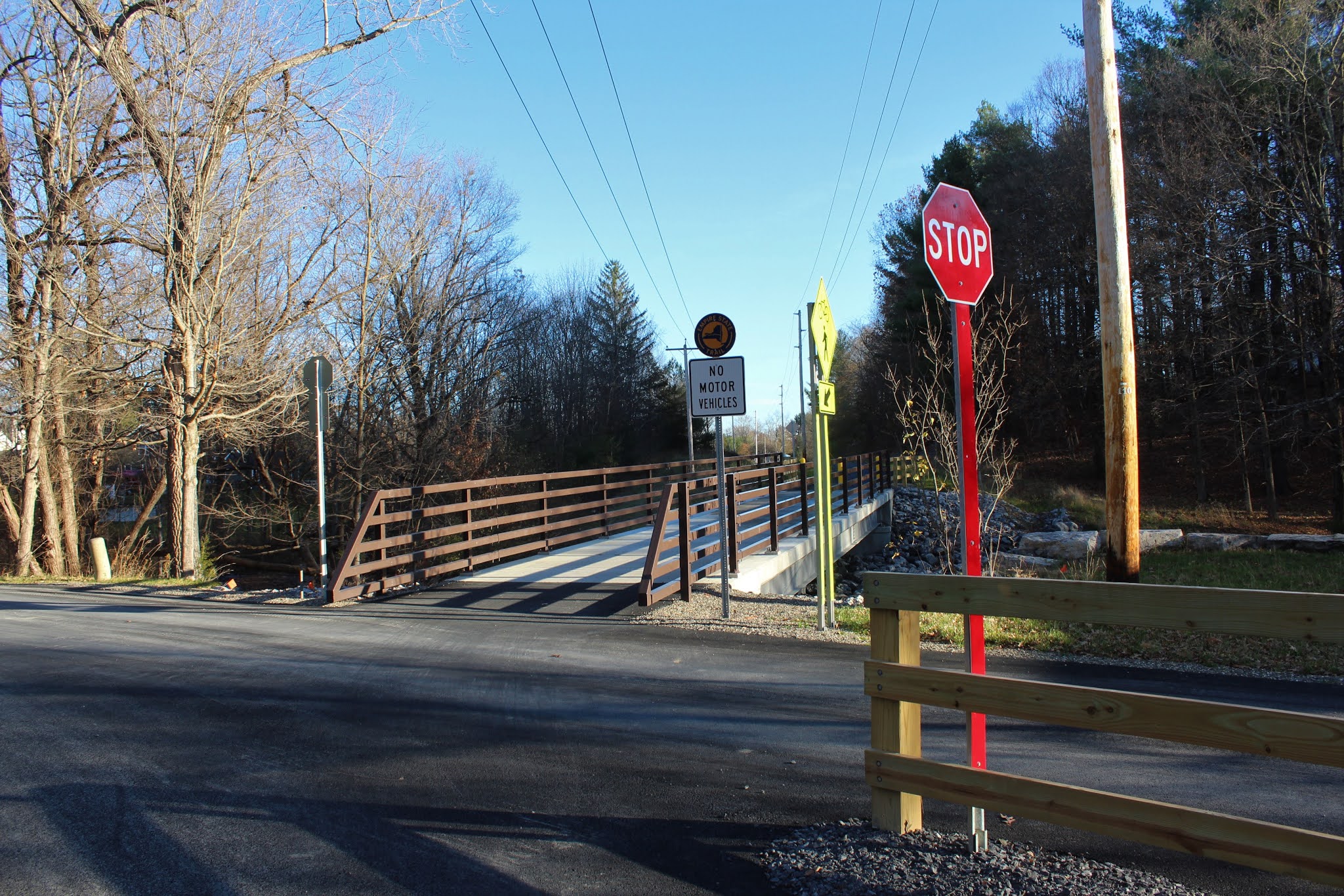
A short distance into the walk, we came to the first road crossing at Reno Road, which was well marked for both trail users and traffic.
One of the nice parts of this section of trail is that within minutes of any road crossing, you find yourself back in the woods, or passing through wide open meadows such as this.
The trail remains almost completely level throughout, with just a couple of gentle inclines along the way.  The surrounding landscape is decidedly country, with just a handful of back yards and roads along this 5+ mile stretch.
A small crossing over a tributary of the Moordener Kill.
A bit further along, near East Hill Road, we came to this very impressive, sturdy bridge crossing over the  main branch of the Moordener Kill.
The Moordener Kill quietly passing through a shaded, residential area.  Just a short distance beyond here, the creek passes through the Schodack Town Park before eventually emptying into the Hudson River near the village of Castleton on Hudson.
The days are quickly growing shorter, with sunsets that seem to sneak up out of nowhere.  Passing beneath this power line crossing near Rice Road, we knew our afternoon was nearing its end.
An old concrete railroad marker near Nassau Lake.
Finally, after nearly five and a half miles, we arrived at our spotted car along the west shore of Nassau Lake. 
Informative trail signage(both front and back) can be found at the Nassau Lake Trailhead, as well as at various spots along the trail.
Walked just under 5.5 miles total with a just a couple hundred feet of elevation gain on this glorious early November day.  We were both very impressed with the work done on this trail, and it seems quite popular already, among bikers and pedestrians alike.  We look forward to checking out some other sections of the trail soon.  A map can be seen below, featuring the section of trail we walked.  A red, circled #1 is where we began, and a red, circled #2 was our finish.


Friday, November 6, 2020

Jiminy Peak(Berkshires)

Took advantage of a beautiful, unseasonably mild November afternoon by doing a post work hike up the ski slopes of Jiminy Peak just over the state line in Hancock, Massachusetts.  Started at an elevation of 1250 feet, and headed straight up the 180 ski trail which had many large patches of snow on the slopes.

The great part about hiking ski slopes are the almost continuous views!  Also a pretty good workout too!
From the 180 ski trail, I picked up the 360, then onto the Upper Slingshot and finally up the steep North Glade Trail.  Just above there is a service road and wind turbine, as well as nice west facing views towards Rounds Mountain and the Rensselaer County hills.
Arriving at the high spot, elevation 2375 feet. 
Jiminy Peak's summit reservoir.
Just east of the reservoir is the Hendricks Summit Lodge, located at the top of the Upper Lift Line.  I can only imagine this must be a great spot to warm up on a cold winter day of skiing.
From a clearing beside the summit lodge are the best views of all.  A spectacular north facing view awaits towards Sheep Heavens Mountain.
Decided to drop straight down from the summit lodge on the Upper and Lower Exhibition slopes, where the views are hard to beat.  The Taconic Ridge forms the impressive wall on the left, with the Hancock countryside lying in the valley below. 
A nice look at Sheeps Heaven Mountain and its wind turbines.
A very steep descent.
Growing afternoon shadows, even though it was only 4pm.  Sheeps Heaven Mountain is the far peak, with Jiminy Peak's NE summit to the right.
Once back down off the ski slopes, I enjoyed one last look back up in the fleeting daylight.
A nice and quick workout! 2.2 miles RT with 1175 feet of ascent.