Explored some areas around western Lake George this afternoon in the area of exit 24 in Bolton Landing and Hague. Got started at the new Terzian Woodlot(the newest Lake George Land Conservancy property) located off Route 9N in the area of Sabbath Day Point. The hardest part of this hike was locating the parking area, which is not marked in any way. Getting off exit 24, I drove east on County Route 11 for 4 miles to Route 9N. Once on 9N, I proceeded north for about 11.5 miles to a sign post without a sign on the left(west) side of the road. From here, there is a small one lane road which leads .1 of a mile to a large field.
Although not marked, this large field is the parking area.
Got started by heading into the woods on an orange marked trail. A short distance in, I passed a large well left by previous land owners from long ago.
The first .3 of a mile is on New York State land and leads to a bend in the trail at a babbling brook.
After .3 miles, you enter Lake George Land Conservancy land, and you will soon cross the unnamed brook by rock hopping. A new foot bridge will be built here later this summer.
The trail continues through hardwoods with a few ups and downs but nothing too difficult.
After 1.4 miles you arrive at a trail junction. A yellow marked trail leads to the right about .1 of a mile, where a rocky ledge offers fabulous views of Lake George. I was looking straight down over Sabbath Day Point as well as this property with its docks.
This spot is known as Uncas Cliff and the panoramic views are truly special.
Here is a view to the south and east towards Huletts Landing.
A view to the north and east.
Looking back at the top of Uncas Cliff where a nice breeze was keeping me cool.
Climbing down to the lower part of the cliff, where you can see much further to the north.
The sheer drop off of Uncas Cliff.
Retraced my steps back through the woods, completing a 3 mile loop and didn't see another person on the trail.
After leaving Terzian Woodlot, I headed north for several miles on Route 9N to Split Rock Road on the left. Followed it west until the road turned to dirt and unmarked Jabe Pond Road comes in on the left. I parked at the beginning of the road near a large pile of gravel. Just past the car, the road drops down to a stop barrier, which was open. The road is drivable all the way to the pond but can be a little tricky with a low clearance vehicle.
The hike on Jabe Pond Road was a pleasant woods walk, with a couple of uphill sections.
After one mile of road walking, you arrive at a parking area and a sign welcoming you to Jabe Pond.
There was only one other vehicle at the pond and I didn't see them the entire time I was there, leaving me with solitude on the pond's shores.
This is a beautiful pond with crystal clear waters. There are a couple of deep pockets where depths reach down to 60 feet, but much of the lake is about 20 feet deep.
The pond is dotted with several islands, mostly in the southern part, which can be seen here.
Walked along the western shore for a distance before turning back to the outlet area at the north end.
A beautiful view of the pond to the south.
Walked back to the car one mile along the road and was pleasantly surprised not to see another person or vehicle the rest of the way.
With a couple of hours of daylight remaining, I decided to make one last stop at Amy's Park, another LGLC property. To get here, I drove back to Route 9N and went south to County Route 11 again, where a quick turn to the right onto North Bolton Road(County 41) leads to Padanarum Road. Once on Padanarum Road bear right where Trout Falls Road heads left and the trail head is found 1.2 miles on the left.
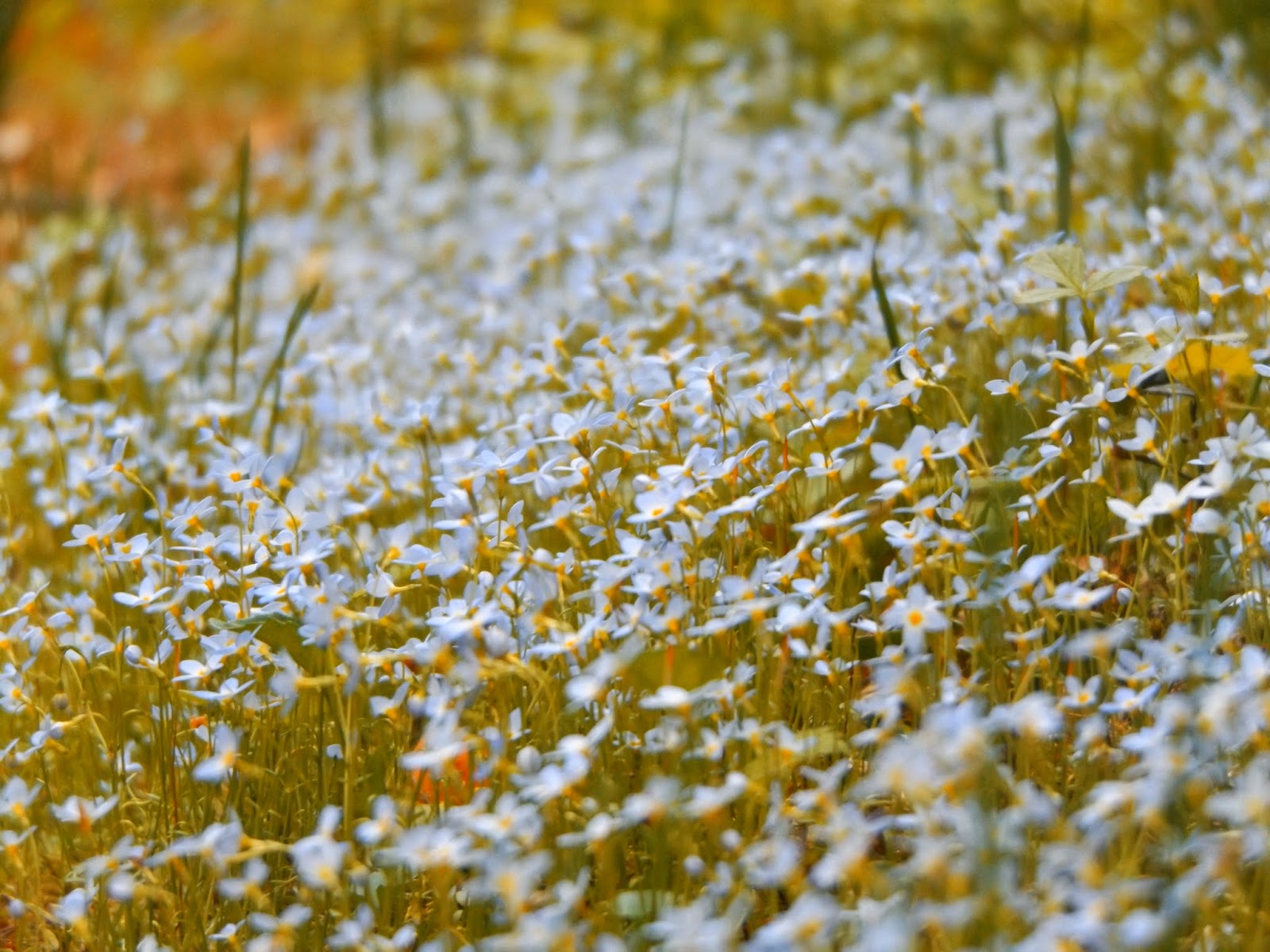
I headed past a large kiosk and headed straight ahead on an orange marked trail. The trail comes to a fork where a yellow trail bears left and the orange trail stays right. I continued on the orange trail and soon came to a small little area of wildflowers on the trail.
The trail forms a loop and drops down to a very large beaver pond with nice views to the north.
Continuing on the orange trail, you climb up a steep section to a small lookout, which unfortunately was overgrown leaving only a glimpse of the view.
Was thinking about doing the yellow loop but dark storm clouds began rolling in and it was already getting late, so I called it a day. Hiked a bit over 6 miles total between the three stops on a quiet Monday.


No comments:
Post a Comment