Late summer can often bring some of the best weather conditions of the entire year, and today would be no exception. Crisp, cool September mornings beckon one to get out and enjoy these beautiful days, and I would gladly get my chance today. Headed down to a lightly traveled area of the northern Catskills to meet up with my buddy Jim. The drive to the trailhead alone can be spectacular in this area, with numerous roadside photo ops available. Here is a view south from County Route 20 towards Mount Hayden and the countryside.
We spotted a car along County Route 10 near the Long Path and then drove a second car west to Jim Cleveland Rd/ Huntersfield Road and parked at a road junction. Elevation was just shy of 2400 feet as we began our hike north up the road. A high clearance vehicle could drive all the way up to the col(in theory), but we didn't want to chance it.
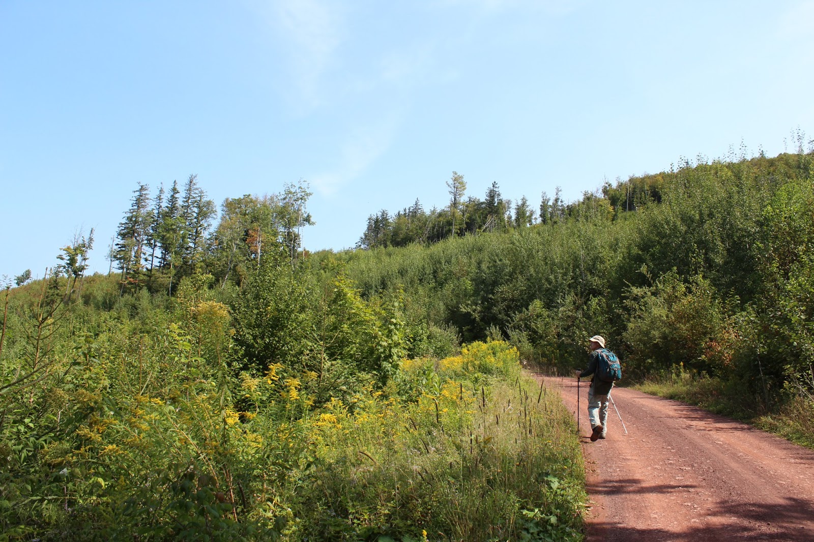
We headed steeply up the road to the col, and then entered the woods at a gravel pit on the right. A woods road travels right up the ridge, passing through a hardwood forest with a hint of fall color above.
Just below the summit, we picked up the DEC trail that drops down to a very nice view point to the north and west.
The extensive views reach all the way towards Utsayantha Mountain and the hills of Schoharie County.
Jimbo enjoying the views.
We took a herd path directly up from the view point meeting up with the trail, which brought us right up to the 3423 foot summit.
We continued beyond the summit towards another view point, this one to the east over the Ashland Pinnacle ridge line all the way towards Richmond Mountain. Beyond that, to the right is Mount Hayden.
Shuffled over a few feet to capture a peek at some of the higher Catskill peaks.
Just past the east views, we arrived at the Lean To, where a smaller vista can be found. This one is to the south with Patterson Ridge being the most prominent peak in the center.
Relaxing in the Lean To for a moment.
Wandered down below the Lean To for some more extensive views south towars the Lexington Range and Rusk.
After soaking in the views, we continued to the east on our way towards Ashland Pinnacle. Along the way we passed this odd looking fungi.
The ridge over Ashland Pinnacle is lightly traveled and is laced with woods roads. It can be a bit confusing if you are not paying attention to the trail, which winds its way around private property, turning sharply on a dime in some spots.
Unfortunately, Ashland Pinnacle's summit is on private land, but the trail passes just below it. The woods along the summit ridge over 3000 feet, however, are beautiful and very open.
A fern glade near the summit area.
We continued along the ridge to the east, soon dropping down to a CCC road crossing down around 2700 feet.
Beyond the road to the east, we picked up the Long Path, but soon left that in favor of another CCC road with more signs of autumn along the way.
Early fall color along the CCC Road.
We utilized the road, gaining elevation while passing through a large area of clear cutting in the South Mountain State Forest.
The clear cut provides extensive views on the wide open northwest slopes of Richmond Mountain.
Northwest views towards Utsayantha and the northwest Catskills.
We wandered around enjoying the spectacular views to the north towards the high hills of Schoharie County.
We found a spot atop a gravel pit that provided us a view back towards the Ashland Pinnacle ridge that we had just come off.
A little higher up, the framed view of the Ashland Pinnacle ridge.
We soon found our way to yet another CCC Road which dropped down to a large logging area on the south side of Richmond Mountain. This area was literally laced with briars and made it quite hellacious to walk through. We carefully made our way up to capture beautiful south facing views towards many of the northern Catskill peaks.
The ski slopes of Cave and west Cave Mountains.
The views above the football field length of prickers.
Windham High Peak on the left and the Blackhead Range on the right.
The ski slopes of Cave and West Cave Mountains are very easy to pick out to the south.
Southeast views.
Back in the woods, bushwhacking our way to the summit area.
Just over a tenth of a mile below the summit(on the southwest side), we found a couple of ledges that provide amazing views to the south again. These views were not easy to find and were a bit crowded by trees.
A more extensive south vista from the ledges below the summit.
Arriving at the wooded 3223 foot summit of Richmond Mountain. Another Catskill hundred highest peak, my 70th!
Dropping off Richmond and continuing east, we soon found the Long Path again, heading towards Mount Pisgah. We found a herd path that lead a short distance down to a rock ledge and a small view point to the south once again.
We were both very impressed with the large stand of Pines atop the higher reaches of Mount Pisgah.
The Long Path climbs up and over the 2912 foot summit area of Pisgah. Unfortunately, the mountain doesn't have enough prominence to count as its own separate peak from Richmond.
Beyond the summit, the Long Path begins to drop down to the east, where a small ledge provided our last view point of the day. From here, we could spot the Albany skyline far off in the distance, with the Greene County countryside stretching out below.
A few yards off the Long Path, we found a gravel pit with a window to a view of Mount Nebo directly to the southeast.
Dropping down to County Route 10 and our spotted car.
Hiked a little over 9 miles RT on a gorgeous late summer day in an oft forgotten area just north of the Catskill blue line.


Have you been to blueberry Hill? In trying to remember how to get there... I'm wondering if it's up Steinmetz road?
ReplyDelete