Took advantage of yet another perfect late summer/ early fall day by doing a little exploring up in the Adirondack High Peaks region. I wanted to visit Round Pond via its marked trail and then bushwhack up to the two small peaks that sit both east and west of the pond. As I arrived in the lot off of Route 73(Elevation 1570 feet), I was surprised to see no other cars there, meaning I'd probably have the woods to myself.
A short road walk brought me to the trail, which in turn brought me to the shores of Round Pond in less than half a mile. As expected, the foliage was coming along quite nicely here, making for a beautiful scene. This is a look west towards Peak 724, that I'd be heading to later in the day.

A good footpath follows Round Pond's east shore and leads to a nice campsite area. A short distance from that I found a nice framed view north across the pond towards Giant Mountain.

Followed the outlet of Round Pond south to neighboring Twin Pond with this terrific view north to Giant Mountain.

A short bushwhack east up through a mixed forest brought me up to an impressive set of ledges with terrific views. Here is a killer view south towards the Dix Range.

NW views above Twin Pond(left and directly below) and Round Pond(right) with Noonmark in the distance and Round Mountain looming above. The ledges on Peak 724 that I'd be heading to soon are clearly visible above Round Pond as well.


Crossing north to the smaller, north bump of Peak 609, I found this large glacial erratic near the high point.

Circling down to another set of ledges, this time on the east side of the north bump of Peak 609. The foliage seemed to really be popping through this section.

From the NE corner of the north bump, found more great views above Bullet Pond to the NE. The slopes of Noble Mountain can be seen rising above Route 73 to the left.

Impressive cliffs on the lower slopes of Rocky Peak Ridge to the north.

North views towards Rocky Peak Ridge, with Giant Mountain barely visible to the left in the distance.

After enjoying the views, I dropped back down to Round Pond, where the still water reflected the early fall colors almost perfectly.

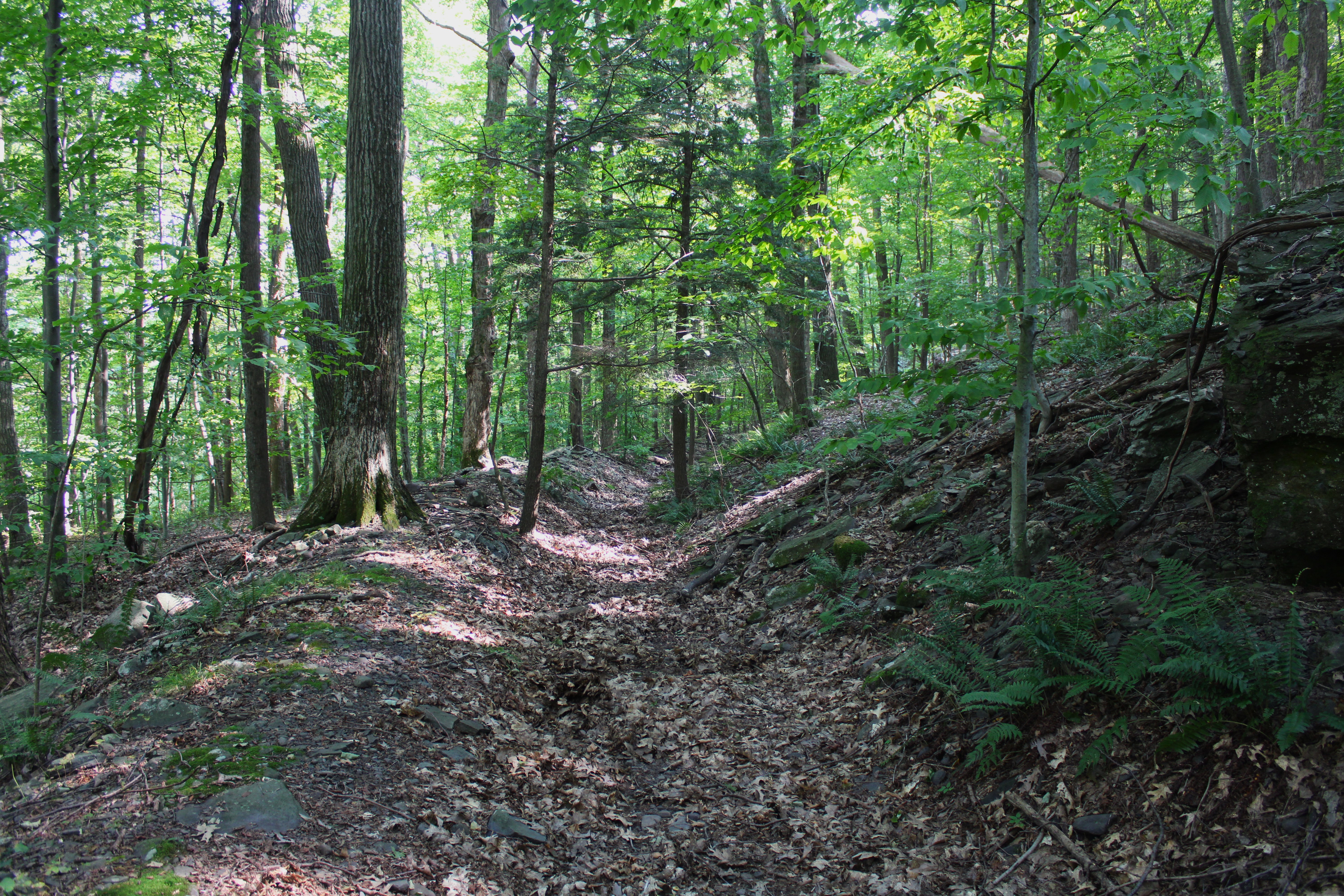
Picked up the marked trail again, following it briefly to the west side of the pond, where I dove back into the woods, bushwhacking straight up towards Round Mountain's east ridge.

Once on the ridge, it was a nice and steady climb up towards the views that I was aiming for, directly above Round Pond. Across the Pond is Peak 609 that I had just been on

There were many open areas of rock, but this slide like area presenting quite a nice view to the Dix Range.

SE views over Round Pond and stretching all the way to the Hammond Pond Wild Forest.

One more view from a south ledge towards the Dix Range, with early fall color on a shoulder of Round Mountain's in the foreground.

After enjoying the multitude of killer views, I made my way up to the open, moss covered 2375 foot summit area.

From the summit, I bushwhacked NE down through fairly steep but open woods towards the beginning of the trail down near Route 73 once again. An easy road walk(which I hate) brought me back to my car, where I was shockingly still the only car there. Covered about 4.6 miles RT, with around 1200 feet of total ascent.
Map below. Blue P=Parking Red X's=Summit and Views