Search This Blog

Tuesday, October 15, 2024

Moon Hill(Town of Petersburg, Rensselaer County)

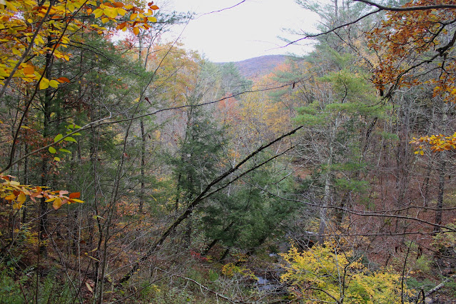
Decided to check out the slopes of 1430 foot Moon Hill, a brand new area of public land in the town of Petersburg, near the main Taconic Ridge.  The Rensselaer Plateau Alliance has protected this land, continuing the amazing conservation efforts they have put forth and making them available to the public.  There is no designated parking or signage so I parked on the shoulder of Hill Hollow Road(Elevation 950 feet) and headed north into the woods, dropping about 100 feet down to a crossing of pretty Hill Hollow Brook.

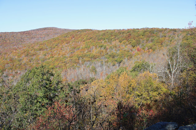
Climbing up and away from the brook, I found a view east towards White Rock Mountain.

Up high on the ridge, looking west towards the summit bump which unfortunately sits on private land.

The slopes on the north side of the peak are quite steep, providing filtered views to the north, which will be much better when the leaves are off the trees.

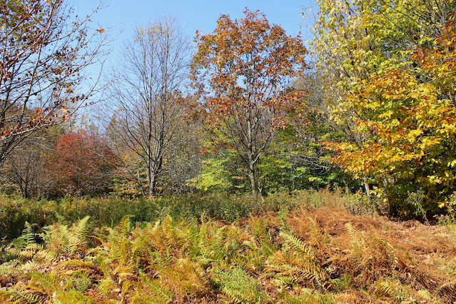
Wandering up to a high point on the ridge through sedge grass and mostly leafless trees.
Stumbled upon some old, rusted barrels and pails scattered through these woods.
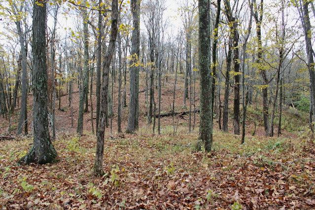
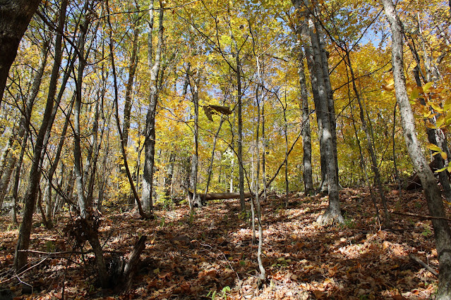
Up high on the ridge, wide open hardwoods made for easy exploring. 
A small window provided a glimpse SE towards Poplar Hill and the Taconic Ridge behind.
Exploring the steep southern slopes just below the summit ridge.
Further down the peak, on my descent, I made a brief stop at a large meadow with a nice view east towards Bald Mountain and the Taconic Ridge.

From the open meadow, it was a short bushwhack back down to the car through some prickers and undergrowth. Covered about 2.4 miles total, with over 600 feet of ascent.  

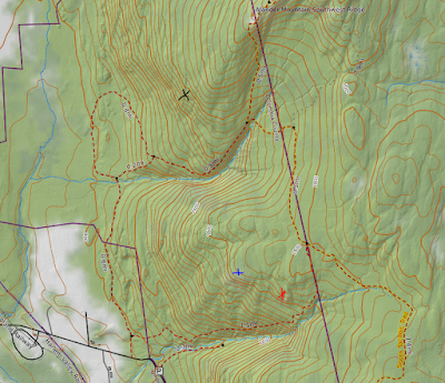
Map below.  Blue P=Parking  Blue X's=Public High spots on property


Friday, October 11, 2024

Abandoned Bluestone Quarry on SW Hunter(Hunter West Kill Wilderness-Catskills)

While down in the Catskills recently, I had a brief window of time to check out an old, abandoned Bluestone Quarry on the south slopes of SW Hunter from a small piece of state land that touches Route 214 near Lanesville(Elevation 1530 feet).  Immediately after leaving the car, I climbed very steeply north through open hardwoods.

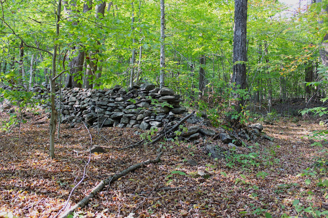
Dropped west to an old woods road, which I followed north for a ways, passing by stone walls along the way.
The old quarry road climbs steeply NE out of the valley, soon arriving at the entrance to the Quarry.
Exploring the abandoned old bluestone quarry.
SW views are quite impressive, with the valley of Route 214 cutting through the rugged terrain.
Looking directly west across the drainage towards another one of SW Hunter's neighboring south ridges.

From the quarry I headed directly south, descending steeply back down the nose of the ridge and back to the car.  Covered about 2.5 miles RT, with 900 feet of ascent.

Map below.  Blue P=Parking   Blue X=Quarry


Ginseng Mountain(Jennie Notch Unit(DEP)/ Lake Heloise Unit(DEP)/ Mt Hayden State Forest-Catskills)

Took advantage of a perfect fall day by visiting 2800 foot Ginseng Mountain in the northern Catskills.  Today's adventure would be a part trail/ part bushwhack of a peak I had previously visited but wanted to explore further.  Parked at the very end of Jennie Notch Road(Elevation 2070 feet) in a small DEP parking and set out on the Long Path heading north on an old woods road.  Just a couple minutes into the hike, I left the trail momentarily to check out a very large beaver pond, with stunning views north towards Ginseng Mountain. Although the foliage is just past peak, the colors are still very nice.

Back on the trail, the Long Path climbs steadily up into Jennie Notch with some trees already bare.
Cliff bands near the head of Jennie Notch.
The cliffs sit a short distance off trail but are easily reached and worth a visit.  Here's a view back east across the Notch from the ledges towards Mount Zoar's far western slopes.
Looking back north towards the Notch.

The cliff bands extend SW for a bit, so I wandered along them capturing some decent views to the south.  The Blackheads can be seen rising steeply above Elm Ridge.

Back on the Long Path, I continued north around the summit, before leaving the trail and bushwhacking steeply down to an open ledge just under 2400 feet.  From here there is a very nice vista to the north and west.  To the north sits Mount Hayden as well as the ridge that connects the two peaks in the foreground. 

From the same ledge looking west, with Lake Heloise down below.  Mount Hayden's long south ridge sits just above, with several private residences visible up high.

Bushwhacking back up from the ledges through open hardwoods.

The bushwhack was fairly steep back up to the trail, which I was only on momentarily before once again heading off trail for make a final ascent up to the summit of Ginseng Mountain.  Ginseng's summit offers little in the way of views, but is quite nice to visit, with a large clearing at the top.

From the summit, a short bushwhack brought me back to the trail, which I descended all the way back to the car.  Stopped briefly at the sprawling beaver pond once again to enjoy the views.

A fantastic day to be out in the woods.  Covered 4.4 miles RT with over 1200 feet of combined ascent under ideal conditions.

Map below.   Red Circle P=Parking   Blue X=Off Trail Vista   Red X=Summit


Thursday, October 3, 2024

Mink Hollow Ledges on Sugarloaf & Plateau Mountain's(Indian Head Wilderness-Catskills)

Headed down into the heart of the Catskills on a gorgeous fall day to check out a pair of off trail ledges high above Mink Hollow in the deep notch between Sugarloaf and Plateau Mountains. Parked at the end of Mink Hollow Road(north), Elevation 2225 feet and set out on the yellow blazed trail gradually climbing south on the old road bed up to the notch between the two peaks.

Once in the notch, I picked up the red blazed Devils Path heading east, climbing steeply up the rugged slopes of Sugarloaf Mountain.
It has been a while since I've climbed this section of the Devils Path and I had forgotten just how steep and rocky this trail was. 
Once above 3000 feet, I left the trail and bushwhacked south towards a precipitous set of ledges over Mink Hollow.  The terrain drops off abruptly to the west but provides spectacular views out over Mink Hollow.  Here is a view north towards Spruce Top with Oteora beyond and the Blackhead range to the distant right.

Due west across Mink Hollow stands the imposing view of Plateau Mountain's east slopes.
To the south stands Plateau's south ridge above Mink Hollow heading towards Olderbark Mountain.

After enjoying the views from Sugarloaf's cliffs, I headed back to the trail and descended steeply back down into Mink Hollow.


After dropping back down into the deep notch at just below 2600 feet, I began to climb in earnest again, making my way up Plateau's steep slopes.

Rocky ascent on the Devils Path.
Once up to about 2900 feet, I once again left the trail, heading north, skirting through a very rugged area of cliffs and calved off boulders.  Eventually made my around the cliffs, making my way up and over to a dizzying set of open ledges.  This is a view southeast towards Sugarloaf Mountain across Mink Hollow.

View east towards Sugarloaf's north ridge and Kaaterskill High Peak and Roundtop in the distance.

Open ledge view south into Mink Hollow, with Sugarloaf's slopes to the left and Plateau's to the right.
Once I left the ledges, I bushwhacked down north then east through open hardwoods in the afternoon shadows on Plateau's east slopes.

Eventually picked up an old woods road and followed it back down towards the trail.  Once down on the trail it was an easy walk back to the car.  Covered about 3.2 miles RT, with almost 14000 feet of ascent.

Map below.  P=Parking   Blue X's Ledges with Views


Tuesday, October 1, 2024

Baldface Mountain(Crotched Pond Easement Tract/ Jessup River Wild Forest-Adirondacks)

Headed up to the Adirondacks this morning to check out some fall foliage on the east side of Indian Lake.  I parked along Big Brook Road(County Route 4) where it meets Crotched Pond Road(Elevation 1675 feet) and headed west, utilizing a state easement towards 2259 foot Baldface Mountain.  Immediately after leaving the car I crossed over picturesque Round Pond Brook, stopping momentarily to take in the view to the north.


Heading west on Crotched Pond Road, where the colors are coming along nicely, making for a pleasant conditions.

Followed the road for a little over 1.4 miles before heading into the woods, bushwhacking north up the mountain through mostly open hardwoods.

Baldface Mountain is actually made up of three separate summit knobs, and I first headed up to the westernmost peak, circling over to a series of steep west facing ledges,


Was pleasantly surprised to find some stellar off trail views from this western set of ledges.  Great views across Indian Lake from a clearing.

Zoom view towards Snowy Mountain across the lake.

From the west bump, I continued my bushwhack north, dropping slightly before picking up a red blazed DEC trail, which is only accessible from the lake itself.  This trail climbs steeply but briefly up to a broad set of open ledges.

The trail ends here, at an incredible open set of rock ledges, which offer even better views than the western ledges that I had been on.

Indian Lake views stretching to the SW, with foliage ablaze.


West views across Indian Lake towards the hamlet of Sabael and the multiple peaks of Squaw Mountain rising above, with Porter Mountain to the right.  Just beyond them are(R-L)Burgess and Panther Mountains.

After enjoying the killer views, I bushwhacked back down to Crotched Pond Road, which I then followed back to the car.  Even the road walk was gorgeous on this splendid fall day.

Didn't see another soul all day covering 5 miles RT with over 700 feet of elevation gain.

Map below.  Red P=Parking   Blue X=Trailed Vista     Red X=Off Trail Views