Search This Blog

Thursday, November 21, 2013

Buck Mountain and Adirondack Waters

A sunny, cool late November day brought me into the Adirondacks and to Buck Mountain on the east side of Lake George.  Buck Mountain at 2334 feet is not a huge mountain, but it offers huge views over much of Lake George and its surrounding mountains. There are many trails on the east side of Lake George, especially in the Hogtown and Dacy Clearing area.  The trailhead for Buck Mountain is about a half mile past the large parking lot for Hogtown on Fly Pond Road.
 There are three stream crossings on the way up the mountain.
 Odd looking ice formations on the ground.
  The trail is 5.0 miles RT and mostly level with only a slight climb for the first mile or so.  The last half of the trail  begins to climb steadily and becomes very steep for the last section.  But it is well worth all the effort for the views at the summit.
The  Sagamore Hotel on the eastern shore.
 The Tongue Mountain Range to the north.
 A close up of the Tongue Mountain Range.
 Lake George views.
 Dome Island and the eastern shore of Lake George.
 The summit of Buck Mountain is mostly open and rocky with outstanding views.
 There are fantastic views to the east  from a shoulder of the mountain.
 Eastern views.
The walk back to the car through the mixed forest.
                           
Explored a bit of the southern Adirondacks after my hike, including Brant Lake.
 One of the points on Brant Lake.
 Brant Lake is a very residential area with very little public access.  Views from the northern shore.
 Looking west across Brant Lake.
 The Hudson River is very quiet in this section above Hadley.
 The sun shining on the Hudson River.
 The still waters of the Hudson River at Schofield Flats above Hadley.
 The Hudson River in this area is much, much different than areas further south.
 A public access area with camping and picnic on the north shore of Stewart Pond
 Stewart Bridge Reservoir below Conkglingville Dam.
 Views west towards the dam from Stewart Bridge Reservoir.

 The Great Sacandaga Lake views from the pull off by Conkglingville Dam.
 Great Sacandaga Lake.
 Fabulous views west of the Great Sacandaga Lake, a 29 mile man made reservoir, the largest man made lake in the state.

Saturday, November 16, 2013

Mount Severence and Goodnow Mountain(Adirondacks)

Woke up at the Maple Leaf Motel in Schroon Lake at sunrise and immediately headed down the road to the Mount Severence trailhead just off Route 9.  The trail first goes under under the interstate through two pedestrian tunnels and then enters into the woods of HoffmanWilderness.

A lot of care has been given to the trail by the DEC.  A handrail along a steep, rockier section.
Your feet will stay dry with several footbridges over the stream crossings.
                                                              
 After 1.2 miles of steep climbing, I came to a rock clearing with beautiful early morning views over Schroon Lake.

 Hills to the southeast of Schroon Lake.
 Breathtaking views.
 A little further down the trail is a small clearing, affording views to the east along route 74 and over Paradox Lake.

The hike is only 2.4 miles RT, and although steep, its length and proximity to the highway lend itself to being a very popular trail.
It was still very early in the day, so I headed west along Route 28N to Newcomb for a 3.8 mile RT hike up Goodnow Mountain with fine views to the high peaks from its firetower.  As I drove into Newcomb, the scene became more wintery with snow visible along the road and especially on the higher mountain tops to the north.
 There are many wooden walkways along the trails through soggier areas.
 An interesting tree formation growing literally around a boulder.
 As the trail ascended, the snow got deeper.
 The foundation of an the original firetower on the mountain, covered in snow.
 Shortly after the old firetower's location, the trail enters a dense evergreen forest.
 A partial clearing from a shoulder of the mountain affords views to the south.
 After 1.9 miles of climbing, you reach the firetower.
The views from the summit are limited due to tree growth, but after a short climb up the firetower, the views are endless.  The High Peaks to the north are clearly visible beyond Rich Lake.
Southwestern views.
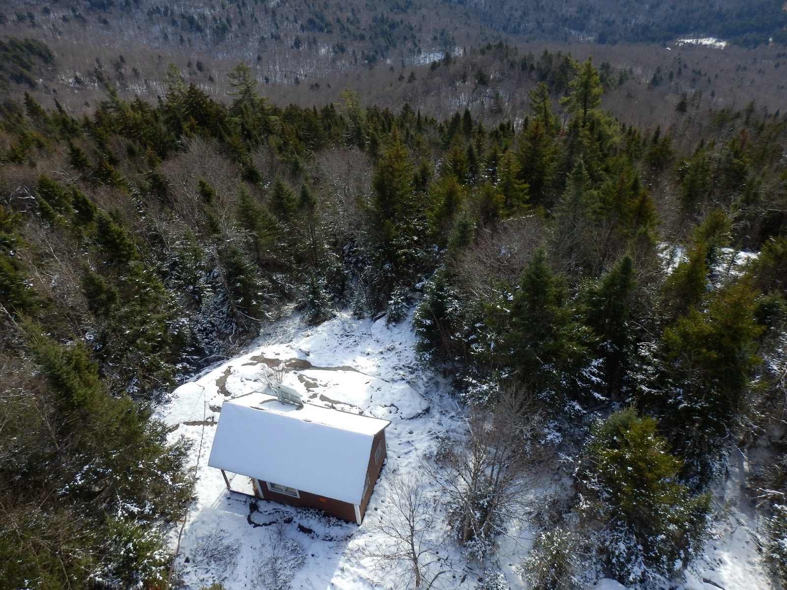
The old ranger cabin, far below the firetower.
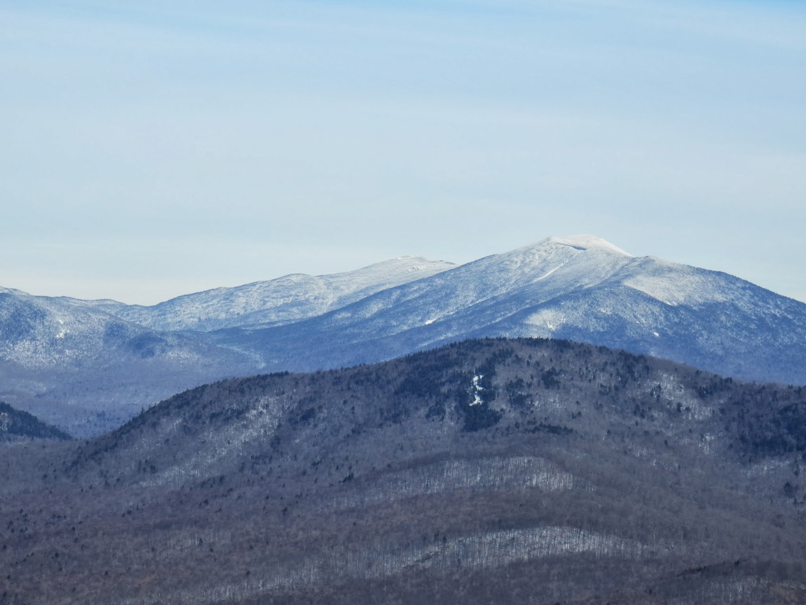
The snow capped High Peaks.
Mount Marcy, the highest peak in the state.
Rich Lake at the foot of Goodnow Mountain.
An unnamed peak right next to Goodnow to the west.


My hiking boots were pretty damp after completing the 3.8 mile RT through the couple of inches of snow.