Search This Blog

Monday, October 21, 2013

Peebles Island

With the government shutdown now over(at least temporarily) I wanted to head out to a state park to get some after work walking in.  I found myself at Peebles Island State Park in Cohoes.  Peebles Island is a virtual oasis of nature and history at the confluence of the Mohawk and Hudson Rivers.  It is actually one of many small islands that exist where these two mighty rivers meet.  The island is 132 acres with plenty of sights to see, including 3 miles of hiking trails.  The main trail is a perimeter trail that runs along the edge of a steep escarpment also featuring old dams, whirlpools, and rapids as well as views across the water to many historically significant industrial buildings.
This is a view across the Hudson River to Lansingburgh and its boat launch.
 Views further south across the Hudson to North Troy.
 Upriver to the Lansingburgh bridge.
 The Hudson River.
 Here is a view from the field area looking across the Forth Branch of the Mohawk River.
 The bridge that connects Peebles Island to Waterford.  There is a pedestrian walkway on the bridge as well.
 The Waterford Harbor Visitor Center.
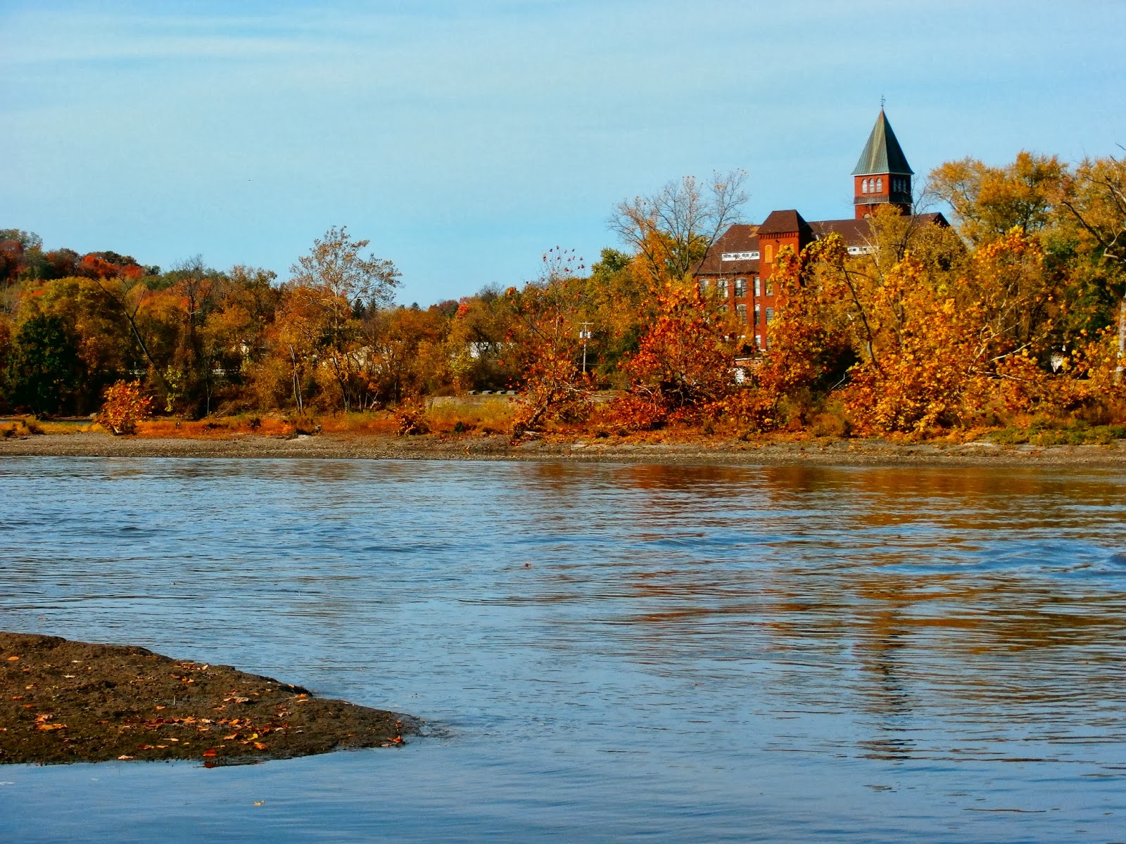
 Industrial Waterford across the Fourth Branch.
Polrump Island is the first island you see as you walk the perimeter trail.
 A lovely fall scene on an interior connecting trail.
 An interesting study in a trees roots, which due to the bluffs, are fully exposed.
 The water level is extremely low near the dam on the Fourth Branch.
 Buoys are draped across the river to warn paddlers and boats of the upcoming dam.  Notice the steep drop off from the trail down to the water as well.
 Fourth Branch of the Mohawk River.
 Goat Island across the water.
 Views to Cohoes and its industry as well as the Route 32 Bridge.
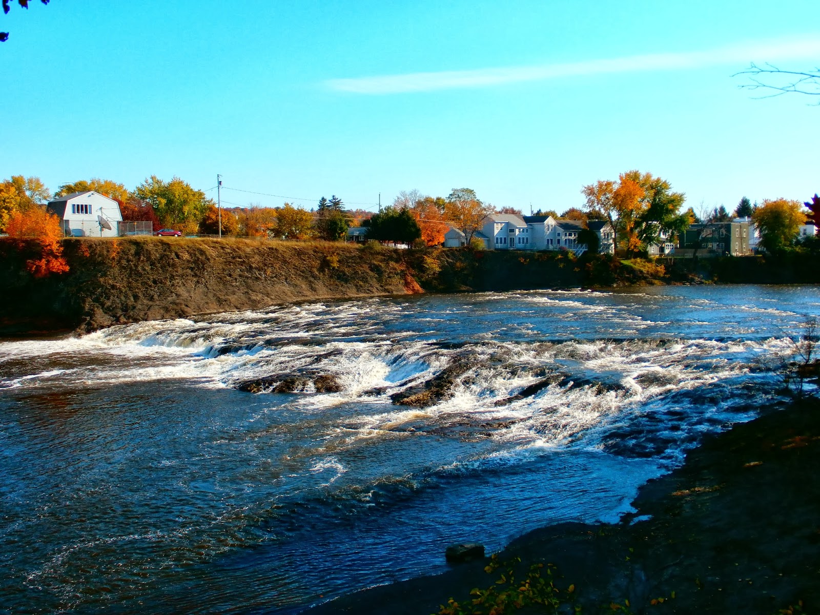
 Powerful Buttermilk Falls and the towering bluffs of Van Schaick Island.
 There are housing developments and back yards across the falls and on Van Schaick Island.
 A calmer section just downriver from the falls with another development area across the way.
 Near the end of the perimeter walk I came upon a young deer only feet away from me, grazing in the woods.
 He didn't seem to worried about me and continued about his business.  This allowed me a chance to take several great photos!

 He looked up at me several times but never once was spooked.  I quietly slipped away after a couple of minutes, leaving him to graze for food.
Steeped in history, Peebles Island is a must see for anyone visiting the Capital Region.  There are many sights and sounds to see for everyone.

Saturday, October 19, 2013

Twin Ponds-Taconic Crest Trail

Got in a Saturday morning hike near the New York-Massachusetts state border on Lebanon Mountain.  The trailhead is at a large pull off area along route 20 in the town of Hancock, Ma and it is actually the southern starting point of the Taconic Crest Trail.  The TCT is a 35 mile trail that runs along the Taconic ridgeline from this point all the way to Pownal, Vt.  Basically the trail hugs the state lines of NY and Mass, criss crossing in several different spots and continuing into Vermont.
 The trail is very well marked with blue trail markers with white diamonds spaced evenly throughout.
 The colors were great in some spots, but most of the leaves have fallen by now.
 The plan today was to hike in about a mile and a half to Twin Ponds.  The trail meets the Taconic Skyline trail at North Pond.  The Skyline trail is a multi- use trail, receiving ATV use regularly, and is in much rougher shape including many rocky sections such as the one below.
 North Pond is a pretty pond, but small in size.  The trail runs along the edge of the pond, offering views across the water.
 It is a very peaceful spot to stop and relax.

 Nearby, just over a small hill, is the other half of Twin Ponds.  South Twin is a much bigger pond but harder to access and looks like it receives a lot of beaver activity throughout the year.  The pond is only accessed by bushwacking through the woods and up the small hill.  It is difficult to walk along the shore due to high weeds and wet areas.

With the return trip, the total mileage was 3.1 miles of mostly level walking with several big ups and downs.

Friday, October 18, 2013

Mohawk-Hudson Bike-Hike Trail

Went for a nice afternoon stroll along the banks of the Hudson River in Albany today with Heather.  The Hudson-Mohawk Bike-Hike trail is actually an 86 mile trail that starts in Albany at the Corning Preserve and runs to the town of Little Falls in the Mohawk Valley, basically running along the banks of the Hudson and Mohawk Rivers.  It is a very popular trail that receives a lot of foot traffic as well as bike traffic throughout the year.  The Corning Preserve area is the most heavily traveled area with direct walking access to downtown Albany.
 One of the nice features of the preserve is a foot bridge across interstate 787 with views of many of the downtown buildings of Albany directly in front of you.  The old D & H building which now serves as State University of NY administrative building looms over the interstate.
 Walking out onto a floating dock near Jennings Landing enables great views up the river towards the Livingston Avenue Bridge.
 Most of the leaves have fallen to the ground and cover the trails.
 There are two tidal ponds at the Preserve, both approximately one acre in size and a beautiful oasis amid the concrete and traffic.
 Picturesque trails suited perfectly for a nice afternoon walk.
 The Livingston Avenue Bridge is a railroad bridge which connects Albany to the city of Rensselaer on the east side of the river.
 There are many geese on the lawn along the banks of the river.
 Heather is happy to be out walking.
 It was a mostly cloudy day but as we walked the sun came out making for a beautiful day.
 The sun and cloud mix provided interesting views south over the Hudson River.
 Looking north towards the boat launch area of the Corning Preserve.
We walked along the river for an hour or so, enjoying a nice afternoon stroll.

Wednesday, October 16, 2013

Windham High Peak

Got out of work a bit early and headed down to the Catskills today to grab a 3500+ foot mountain.  Windham High Peak is an extremely imposing mountain as seen from Route 23 heading west through the town of Durham and into East Windham. The popular ski resort by the same name is not actually located on this peak, but a few miles down the road in the town of Windham.  The clouds were holding tough as I arrived at the trailhead but the forecast was for the rain to hold off until the night, so I wasn't too worried.
To get to the actual trail, you must cross busy Route 23 and then walk along a level path through fields, and cross a small(dry as of today) stream on a footbridge.  After a minute or so you arrive at the trail register and then start heading into the woods.  The hike is a total of 6.6 miles RT, with a steady but certainly not steep climb.
Near the start, the trail crosses old stone walls a couple of times.
 A little over a mile up the trail you arrive at a trail junction and the Elm Ridge Lean-To.
A bit further along, the trail enters some very dark spruce forests.
 The trail through this section is tough walking because it is almost all exposed roots such as this.
Continuing along the trail, views south to the Blackhead Range begin to appear.  First, broken views through trees are seen, but as you climb a bit the views really start to open up.
 As I neared the summit, I noticed the sun was doing its best to fight through a thick layer of clouds.
 Windham's summit is 3524 feet, and this sign appeared shortly before the actual summit was reached.
The first views near a ledge to the south, facing the Blackhead Range.
 Another ledge, a minute or so up the trail offers views to the north.
 Endless views.
 The actual summit marker.
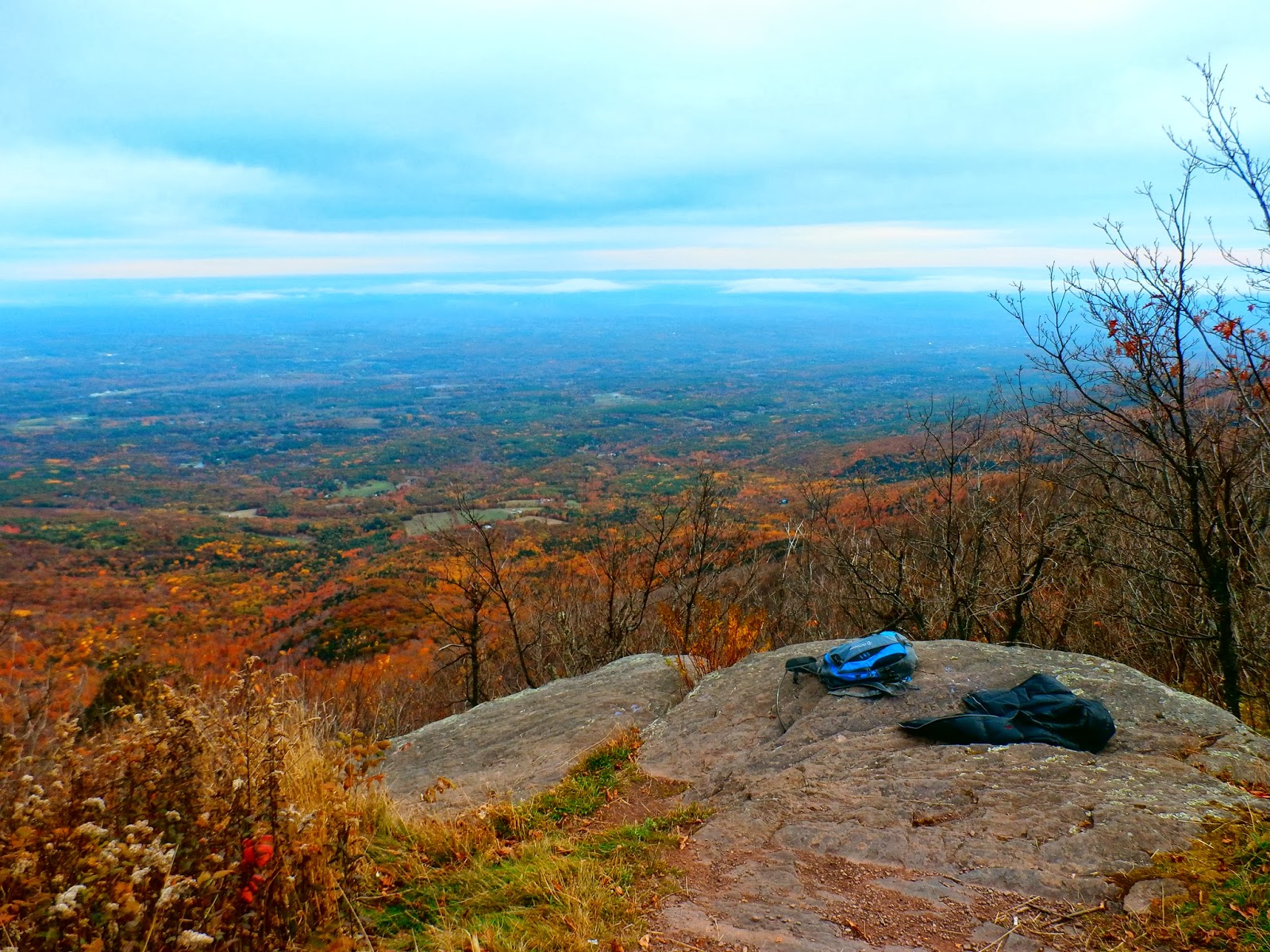
The best views, however, are found a short distance past the summit and out onto a rocky ledge facing north and east,
 It is said that on a clear day you can see Albany's skyline some 45 miles away.  Unfortunately, the clouds held tough, but the views were still breathtaking.
 A cabin among a sea of foliage.
 After nearly three and a half miles up the escarpment trail, this served as a great spot to relax for a few.
 Feeling good!
The colors were amazing in some areas as I descended.
 Back at the parking lot, Windham High Peak can be seen a couple of miles away.
Made good time on the return down the mountain, and felt pretty good so stopped by The Siegel-Kline Kill Preserve in Ghent.  It is almost all completely level walking through old farmland and along the banks of the Kline Kill.
 Easy walking.
 That's one HUGE leaf!
 The Kline Kill.
 Crystal clear water.
 Gorgeous colors!
 Busy bee.
A great day.  About 7.5 miles total.  A good night's rest ahead.