Met up with my buddy Jim Hopson to nab a couple more Catskill 3500 trail less peaks and then rambled over to hit an unnamed 3655 foot peak known as "The Dink". We met up at the parking area at the end of Moon Haw Road at about 7:30am under mostly cloudy and cool conditions. After getting all geared up we jumped into the woods, ascending immediately southwest from the road.
We climbed up the east face of Friday Mountain, passing many logging roads, but we largely ignored them basically staying in a westerly direction while bushwhacking through open woods.
Painted Trillium.
Views of Balsalm Cap Mountain began to emerge through the trees as we gained elevation on Friday's slopes.
Once we got above the steep bowl beneath Friday/ Balsalm Cap, we continued our whack south towards the col.
Catskill pudding stone.
The steep rock walls of Balsalm Cap.
Hobblebush.
The transition from hardwoods to Balsam Cap's conifers...or as Jim says like stepping from the Catskills into the Adirondacks.
Once we gained the ridge line in the col, we quickly picked up a herd path, which took us south directly towards Balsalm Cap's summit. About 500 feet before the summit, a beautiful view point unfolds. The view of the Ashokan Reservoir is simply breathtaking.
Looking to the north provides an incredible view of Cornell and Wittenberg Mountains.
The view towards the north of the Reservoir is also great, with countless peaks visible. The Devils Path peaks are clearly visible in the distance.
After soaking in the views, we continued the last .1 of a mile to the 3623 foot Balsalm Cap Mountain summit canister.
After signing in at canister, we turned back to the north, bushwhacking through some blowdown in the col.
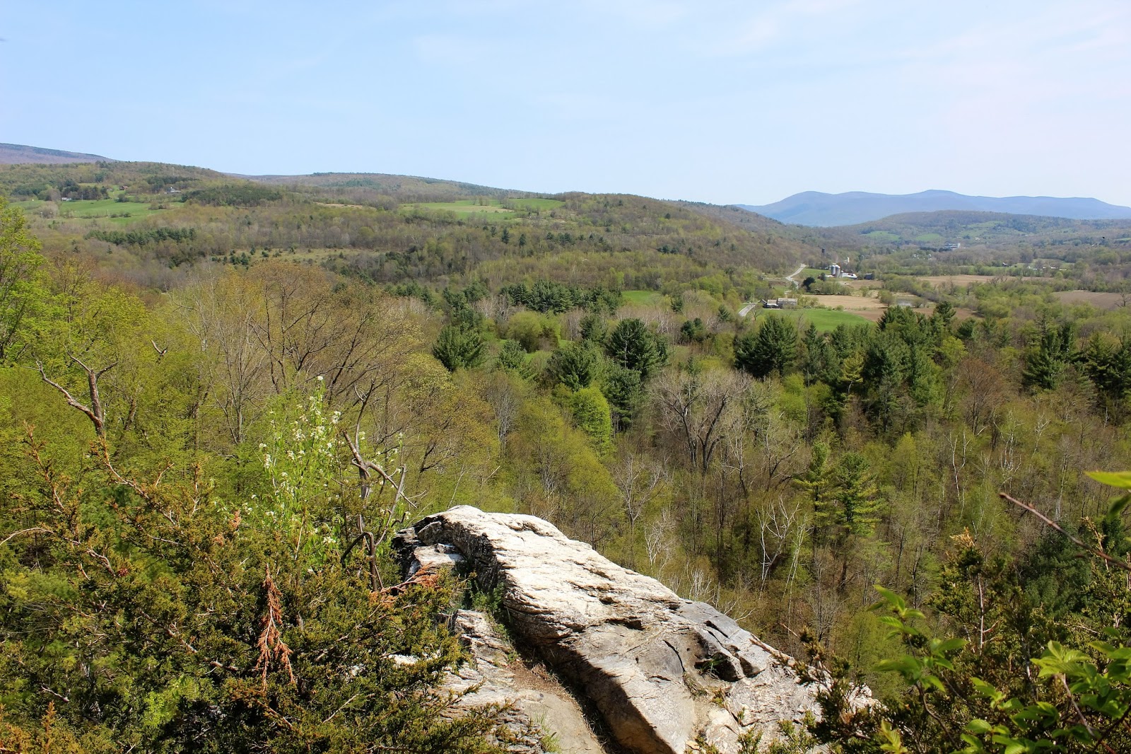
We soon emerged at a viewpoint above Friday Mountain's cliffs.
Jim enjoying the vista.
My turn.
Looking north towards Friday's upper cliffs and distant Devils Path peaks.
The view southeast towards Ashokan High Point.
An incredible look back at Balsalm Cap Mountain.
Beyond the view point, we continued up towards Friday's infamous rock cliffs.
A steep, fun climb ensued.
After doing a little searching we soon found Friday Mountain's summit canister. This was my 27th Catskill high peak.
The view from 3694 foot Friday Mountain's summit canister.
We enjoyed the summit for a moment and then decided that we wanted to continue about .65 mile north towards "The Dink". This is an unnamed sub peak between Cornell and Friday Mountains. To avoid the steep cliffs below Friday, we dropped west through thick woods and then turned north.
The bushwhacking was pretty rough in some of these parts.
We quickly arrived at the nondescript 3655 foot summit area of "The Dink". This was the best view we could find.
After grabbing a quick bite to eat, we talked it over and decided to try to find a way down the steep east slopes of "The Dink". Being careful to watch for steep drop offs and cliffs, we managed to find some chutes down.
We paused for a moment at an amazing rock like castle area.
As we continued are steep descent, we were lucky enough to spot Cornell Mountain through an opening in the trees.
We continued our steep drop until we arrived at the top of Wittenberg Brook, which we followed down in a southeast direction nearly the rest of the way. There were many picturesque cascades along the way.
Being careful to avoid private property, we continued a tough bushwhack down to our car, completing a little over 8 miles RT with an elevation gain of over 3000 feet total.