Had the day off and the sun was out(and the wind chills weren't at dangerous levels), so I drove up to Vermont to do some hiking in the Green Mountain National Forest. My first stop was at White Rocks Ice Beds located in the town of Wallingford, a few minutes east of the village on Forest Road 52. The road is not maintained all the way during the winter, so you must park at a small pull off and walk up the road to the trail head.
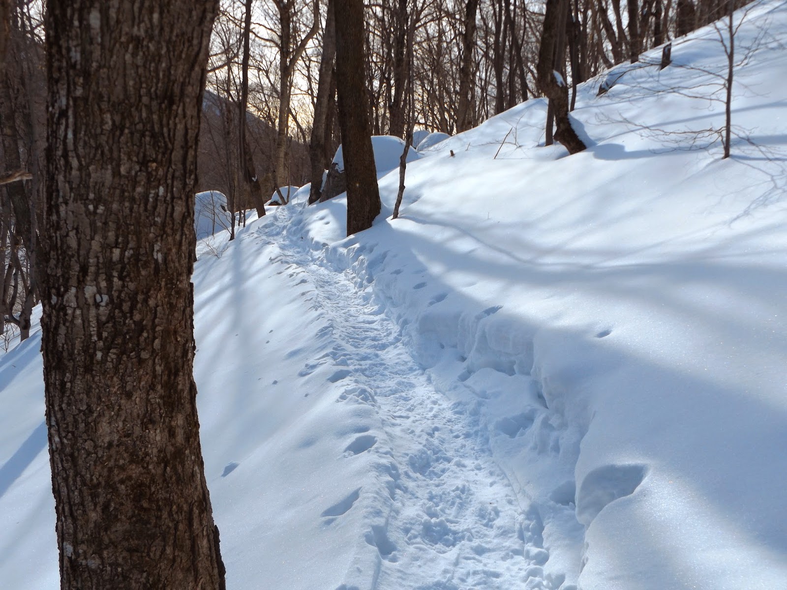
Luckily, a trail was already broken in making for a pleasant walk.
The trail follows a series of switchbacks, climbing up through a hemlock forest.
After only a short distance, you arrive at beautiful vista. A panoramic view of 2682 foot White Rocks Mountain, where many rock slides are clearly visible.
A view to the west over the Otter Creek Valley.
The rock slides tumble down nearly 1,000 feet and the dramatic cliffs make for a very nice view.
The blue blazed trail drops steeply down to the foot of the mountain, where the ice beds of jumbled boulders in the wooded valley create a micro climate of colder weather, even during the warm summer months. As I returned back up the slopes on my way back, I caught one last glimpse of White Rocks through the trees. Hiked 2.48 miles RT.
After leaving White Rocks Ice Beds, I grabbed a little lunch and headed about 40 minutes away to Deer Leap, a prominent rocky ledge located almost directly across from Pico Mountain Ski Area. The rocky ledge is very noticeable from Route 4 and rises steeply above the Inn at Long Trail.
A large parking lot is located on the south side of Route 4, across from the Inn. You must be very careful crossing busy Route 4 to the trail head, which can be found at the east side of the parking lot for the Inn. It can be difficult to find in the winter time, due to the large snow banks.
Sherburne Pass Trail climbs up for about a half mile to the Deer Leap Trail. The first .3 miles of the Sherburne Pass Trail climbs gradually east above Route 4 and its constant traffic.
The slopes down to the road are very steep and footing can be a bit tricky through this section.
The footing is good where previous hikers had walked, but the snow is extremely deep, making snowshoes necessary if you are to leave the trail at all.
Once on the Deer Leap Trail and above 2,500 feet the trail becomes thick with spruce and fir, weighed down heavily be snow.
Good footing is essential once you arrive at the rocky overlook, as there are sheer drop offs below.
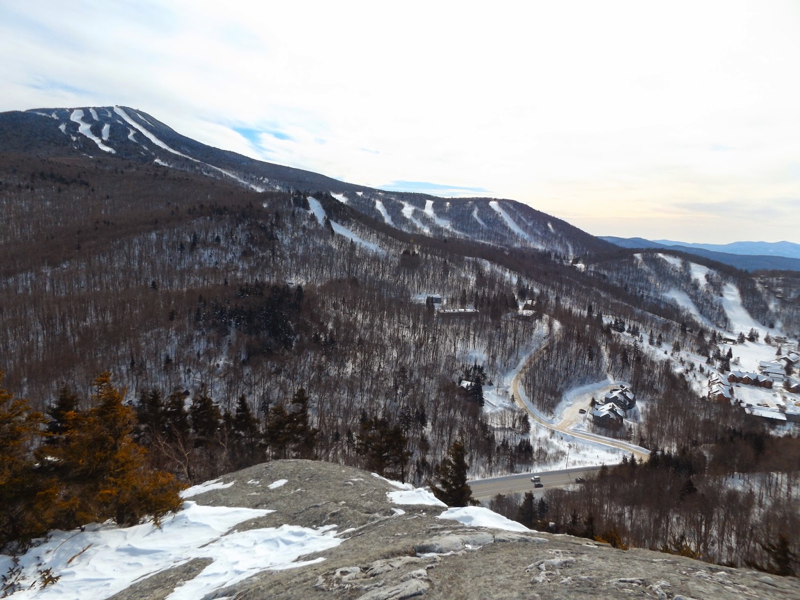
The view that unfolds before you above Sherburne Pass is breathtaking. Pico's ski slopes are the first thing your eye is drawn to.
Route 4 can easily be seen far below winding to the west towards Rutland and the Valley of Vermont.
Looking back up at the rocky ledge of Deer Leap.
A closer look at Pico Peak's condos and resort area.
3957 foot Pico Peak's steep ski slopes, directly across from Deer Leap.
From east to west, a beautiful panorama with 4,235 foot Killington's ski slopes just over the east shoulder of Pico.
A panoramic view to the south and west.
Heading back along the Sherburne Pass trail accompanied by the late afternoon sun on another cold winter day.
Hiked 2.46 miles RT at Deer Leap for a total of 4.94 miles for the day. Even through the cold, it felt fantastic getting out there.


No comments:
Post a Comment