Took advantage of a small window of time after work this afternoon on an overcast, well below average spring day to hike a small peak in West Stockbridge, Massachusetts. Maple Hill only rises to an elevation of 1768 feet, but looks like it might have a small clearing near the summit, so I headed over the state line onto Maple Hill Road(off Route 102 just south of I-90) and found a small Mass Wildlife Management Area sign and parked along the shoulder of the road. There are no trails in the area, so it would be a short bushwhack to the top. Elevation to start the hike was about 1240 feet. The woods were incredibly open through pines to start, and fairly steep.
There was quite a bit of patches here and there with snow still remaining.
I basically followed the Maple Hill WMA boundary all the way up.
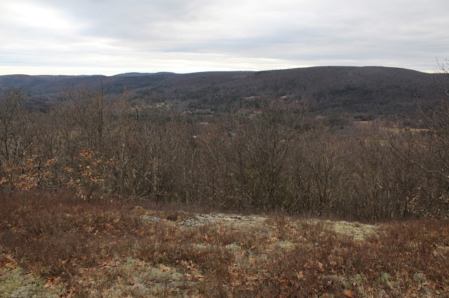
After only about .6 of a mile, the woods opened up to a large clearing.Nearing the summit, I was quite surprised to see just how open the area was. The views were much better than anticipated.
The true summit is in a clearing, with low bushes marked with several small rock cairns.
The view west towards Harvey Mountain.
Just below the summit, there are very nice views south all the way down to Catamount Ski Area.
Another view south with Tom Ball Mountain on the left, and Catamount Ski Area in the distance.
It was an easy .66 mile bushwhack back to the car for a small 1.32 mile RT 'whack with over 500 feet elevation gain.


nice views ... that I missed
ReplyDeleteYes, I had intended to do this peak ever since I saw your fogged in view point a month or so ago. The view was much more open than I had expected. A very short trek to the top as well.
ReplyDelete