Bird Mountain is one of those peaks that has been on my radar for a real long time now. Ever since the first time I saw it rising south of Route 4 west of Rutland, I knew I had to go there. While rising only to an elevation of 2216 feet, it certainly isn't going to be on many high peak lists, but its unusual shape and sheer rock cliffs make it incredibly enticing. Add in the fact that there's no trails on the mountain(other than ATV trails on the east side of the peak), and I was ready for the challenge. My buddy Jim accompanied me today, as we planned out a two car traverse over Bird Mountain and neighboring Herrick Mountain.
Our first view of Bird today was from Birdseye Road, south off of Route 4a.
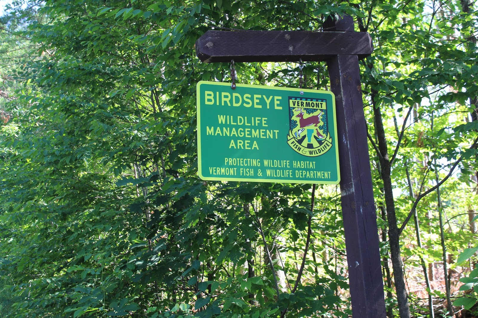
Our starting point for the day was from the east side of the mountain at the Birdseye WMA, on Birdseye Road. Elevation was only 975 feet to start.
Upon entering the WMA, we crossed through a recently logged area, with spectacular views of Bird, rising nearly 1300 feet above us.
A closer look at Bird. Very impressive!
We realized that attacking the mountain's steep south side was not a good idea, so we headed north to a bit easier ascent. While being easier, this is no way meant it was easy. We climbed at a very, very steep pitch through a hardwood forest. The hot summer weather had us both dripping in sweat almost immediately.
Once up over 2000 feet, the ascent lessened considerably. We turned south heading towards ledges on the peak's east side. From there we got very nice views towards Herrick's north summit bump, where it appears there was/ is some kind of quarry.
A broader shot of Herrick's north summit.
After a couple of minutes enjoying ledge views to the east, we continued on up to the 2216 foot summit. Just prior to the summit we found a great view of the entire Herrick Mountain massif to the east.
From the true summit, we enjoyed amazing west views all the way towards the Adirondack High Peaks. Route 4 can be seen winding in the valley below, with Lake Bomoseen being the body of water.
After a couple minutes at the summit, we headed back down to the lower cliffs on the east side of the peak. A very dangerous, vertical drop was just a few feet away. We found a safe spot to relax and enjoy our lunch here.
Northeast views towards West Rutland.
A closer look at Route 4a, with the unnamed West Rutland Peak rising directly above to the north. The Green Mountains of central and north Vermont can be seen rising beyond to the northeast.
There really is no gentle way down Bird, we did our best to find a safe route down. Loose rock and incredibly steep sections made this an adventure.
One of the challenges of heading over to Herrick Mountain was that we had to basically circle all the way around Bird, meaning a long bushwhack route south then east. After finally getting around Bird's steep south rock face, we arrived in a very large meadow, elevation of about 1500 feet. This provided us a nice view up towards Herrick's ridge to the east...
...and Bird's sharp south face to the north.
We were both staggered by just how incredible Bird looked from this meadow.
Zoomed in on the incredibly impressive rock face on the south and east face of the mountain.
We continued east, soon re-entering the woods, and quickly finding ATV/ wood roads laced throughout the woods.
The road we were on didn't go the direction we needed, so we headed into the woods, straight up the west shoulder of Herrick's north peak.
We circled our way up and over the cirque and soon hit a reliable ATV/ woods rod again...heading straight at the top.
About 2/10 of a mile before the summit, we arrived at a cell tower, and a jaw dropping west view back towards NY and Bird Mountain.
Even from this far away, the rugged cliffs on Bird look amazing. This is a great shot of the entire Bird ridge.
After soaking in the amazing views near the cell tower, we continued up the short distance to Herrick's 2726 foot summit. While no views were to be had, there was a pretty fern glade that covered much of the summit area.
A few feet away from the fern glade, we found the summit canister(a Vermont trademark on many of its trail-less peaks)Unfortunately, the paper inside was very wet with condensation so we couldn't write anything.
We followed a series of woods road/ logging roads and ATV trails down to the spotted car on the east side of the peak. A very hot, but enjoyable traverse in a gorgeous area of Vermont. Round trip distance was about 7.5 miles with 2700 feet elevation gain.


Thank you for this beautiful experience on Bird mountain that I have been viewing for over 50 years. How long did this “hike”, meander, take?
ReplyDeleteHi there! Been several years so I honestly can't remember the exact time it took, but probably about 5 or 6 hours with numerous stops along the way.
Delete