After enjoying the water views, we headed back up to the trail before quickly re-entering the woods and beginning our bushwhack up to a long set of open rock ledges often referred to as Mud Lake Ridge. Although only a touch over 1800 feet in elevation, these ledges provide outstanding views. Here is a view NW toward the Benson hills.
There are even views SE towards a small portion of the Great Sacandaga Lake. Big Oak Hill is the ridge directly in front of you.
There are a series of open areas along the ridge, each separated by a small area of hardwoods.
Each open rock area provide good views and were quite pleasant. This third open area made a nice break spot.
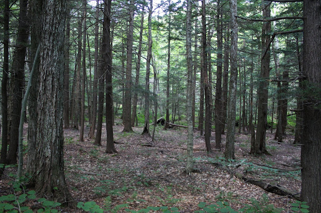
Continuing NW off trail, we descended sharply off Mud Lake Ridge, dropping into a pretty hemlock forest in the col.
From a low spot of 1425 feet, we ascended the slopes of our next destination, an unnamed 1980 foot peak, known simply as West Stony Creek Mountain. The climbing was steadily steep, but through very open hardwood forests. There were a god number of low pricker bushes through this stretch as well.
Emerging at an open area at about 1800 feet that we had seen earlier, we enjoyed views back to Mud Lake Ridge.
Although only mid August, there are certainly some subtle, yet undeniable signs of fall if you look around.
This moss covered rock really caught my eye.
The west side of the summit provides a far reaching west view over the West Stony Creek valley. This is a spectacular destination and a perfect lunch spot.
After enjoying the great vista, we continued on, heading east towards the next unnamed peak, 2020 foot "Sacandaga Peak". From a low spot of 1475 feet, a stiff climb brought us up to the wooded summit area.
A short distance away from the true summit, we found the open rock ledges on the south side of the peak, which provide some of the best views we had for the day. The view north/ NW provides a look back at the ridge between West Stony Creek Mountain and Sacandaga Peak.
West views provide a glance at the two peaks we had already climbed, with Pinnacle and Shaker Mountain beyond.
There are a lot of open rock ledges to explore, each with a bit of a different perspective. We found this very nice view of the Great Sacandaga Lake near the state land boundary.
Being attentive to the state land boundary, we dropped down very steeply through a series of chutes and ledges heading back towards the NPT near Mud Lake.
After a steep descent we finally arrived at the low spot between the peaks, where a very pretty drainage greeted us.


Hey 24/7, although this is an old post of yours, I figured I would let you know that I used it to hike up to Mud Lake Ridge after hiking out to Mud Lake to complete the Fulton County Hiking Challenge. Thanks for your invaluable resource! I read it all the time!
ReplyDelete