Headed south to the Catskills to revisit "Little Samuels Point", the informal name of the small summit bump on the east ridge of Samuels Point on a very mild February day. On my previous visit, my buddy Jim and I had approached this peak from Traver Hollow Road on the northern slopes, so today I decided to start from the east side at a small unmarked parking area where state land comes down to meet Route 28a. Elevation to start was 750 feet just beyond a pair of old stone pillars. I threw the spikes in my bag but figured I should be fine bare booting all day. The woods were remarkably wide open and easy to navigate as I slowly gained elevation heading west. At about 1100 feet, I hit an impressive set of cliff bands that I had to go around...
...and from the top of the cliff bands I found the first views of the day, looking back NE towards Ticetonyk Mountain.
I continued up through just a few inches of softening snow, easily gaining elevation.
At about 1800 feet, I left the snow behind and caught my first glimpse of "Little Samuel" up above.
The last 2/10 of a mile were quite steep, pushing up through rock filled slopes.
As I approached 2100 feet, the west slopes really began to drop off, with very nice filtered views opening up.
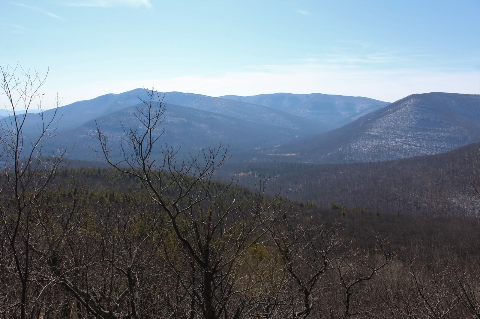
A large, solitary boulder marked the best viewpoint of the day. From this vantage point, there are unimpeded views towards Wittenburg's SE ridge, as well as Balsam Cap and Friday beyond.
To the SE, the view encompasses part of the Ashokan Reservoir, as well as South Mountain with Ashokan High Point looming above.
The view west towards Wittenburg's SE ridge, which I had climbed a few weeks back(and also has very good views).
SE view towards South(foreground-left), AHP(distant left), Little Rocky(distant center) and Hanover(right). The warm sun only enhanced the experience.
As I circled around the steep ledges, avoiding the mountain laurel above, I enjoyed through the trees views of 2885 foot Samuels Point.
I continued up to the open meadow atop the 2200 foot summit bump, complete with a rock fireplace. A beautiful spot.
For the descent, I found a good woods road and followed that almost the entire way down, enjoying some filtered Reservoir views through the bare trees along the way.
Hiked about 3.8 miles RT with about 1500 feet of ascent. A very nice little destination of its own.
Today's route Red=Ascent Blue=Descent


No comments:
Post a Comment