Decided to head east into the northwest corner of Connecticut to check out a long series of cliffs and ledges along the lower slopes of Bear Mountain's east face. Most of the hike today would be via trail, but the exploration of the the targeted area was all off trail. Parked at the Undermountain trailhead along Route 41(Elevation 760 feet) and headed west along the marked trail, slowly climbing up to the junction with the Paradise Lane Trail. From the junction I followed the Paradise Lane Trail to the Paradise Lane campsite.
From the marked trail and vista, I continued south passing along a series of additional ledges and open views. There are many very nice vantage points to enjoy such as this clear view south towards Lions Head.
From another open ledge, looking NE towards Washinee Lake and Washining Lake.
A great lunch spot with killer views to the SE, with Lions Head to the right.
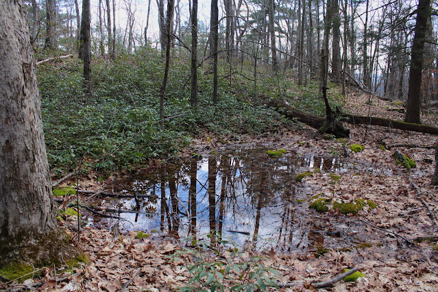
After enjoying the great views, I turned back up and over the ledges and towards the campsite, where I picked up another path north. I continued on this path north for a few minutes before beginning my true bushwhack towards a large set of cliffs. The woods were wide open and easy to navigate as I passed by this small vernal pond.
Crossing over a small stream cascading down towards the edge of the cliffs below.
Carefully made my way down to the top of the cliffs, where the views are quite striking. This is the view south along ridge I had just been on as well as Lions Head beyond.
After enjoying the views from atop the cliffs, I turned around and retraced my steps back to the marked trail and eventually my car. Covered about 4.4 miles RT, with over 800 feet of ascent.
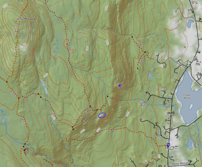
Map below. Blue P=Parking Blue Circle=First set of Ledges and Views Blue X=Cliffs


No comments:
Post a Comment