After hitting Bear Mountain's east cliffs in Connecticut, I crossed over the Taconic ridge to the west into NY to hit some off trail ledges on Brace Mountain's steep slopes. I parked at the trailhead along Quarry Hill Road(Elevation 960 feet) where I caught a glimpse of the cliffs I was aiming for just above the nearby trees on private property.
Just above the woods road, the terrain becomes extremely rocky and steep.
Combining the woods road and a bushwhack, I made my way up to the first in a series of open clearings and ledges around 1700 feet.
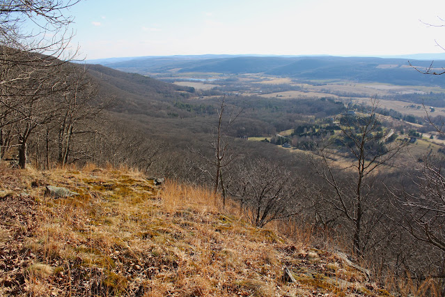
Although I was over 600 feet below the summit, the views from these ledges were nearly as good. This is a dramatic look west over the valley of Route 22 towards Round Ball Mountain, Gentian Hill and Kite Hill.
From another expansive clearing further along, another grand view to the SW.
Sprawling view north towards the Harlem Valley with Taconic ridgeline to the right.
I explored several different clearings which each presented its own unique view. NW view with Fox Hill to the left.
Beginning my descent through ledge after ledge and view after view.
One last, large clearing at about 1500 feet before I hit the real steep terrain. This last view SW takes in a north chunk of Dutchess County as well as the southern Taconic ridge.
Instead of turning back to retrace my steps, I simply tried to complete a loop by dropping down SW in a direct line towards my starting point. A very steep and tricky descent brought me down to some easier terrain and a drainage crossing in the late afternoon sunshine.
Once down low, it was an easy bushwhack through open woods to the trail and car. Covered about 2.3 miles RT, with 800 feet of climbing and roughly 98% bushwhack.
Map below. Blue P=Parking at TH on Quarry Hill Road. Blue X=Large area of ledges


No comments:
Post a Comment