Search This Blog

Tuesday, May 18, 2021

Echo Cliffs and Panther Mountain(Ferris Lake Wild Forest-Adirondacks)

Me second hike for the day was a part trail/ part bushwhack adventure up Echo Cliffs and Panther Mountain near Piseco Lake.  I had hiked to Echo Cliffs many years ago, but had heard that Panther's 2726 foot summit also had some good views off trail, so figured I'd give it a look.  With beautiful spring conditions, I fully expected to have a crowded trail on my way up, but was pleasantly surprised that only two other cars were there when I arrived.  Elevation at the trail on Old Piseco Road is 1730 feet.

The trail is pretty straightforward and fairly steep, gaining elevation quickly heading west.  At a bend in the trail, you are now climbing into the draw between Panther(left) and Echo Cliffs(right).

The last push up to Echo Cliffs is quite steep, but a fun climb.
The views from Echo Cliff are nothing short of spectacular and really one of the truly great examples of bang for the buck.  The east facing view out over a broad section of Piseco Lake towards Spy Lake and well beyond is enjoyed after less than 3/4 of a mile hike.
The view south with the southern end of Piseco Lake stretching out.  The views are nearly 180 degrees from here so there is much to enjoy.  I actually had the views to myself for about 15 minutes before I decided to move on.
Signs of spring are sprouting up everywhere, even well over 2000 feet, where I spotted this painted trillium.

From the draw between Echo Cliff and Panther, I left the trail and bushwhacked west-northwest up the steep slopes of Panther Mountain.  Although it was a stiff climb, it was pretty short(less than 1/3 of a mile) and soon I arrived at the pronounced 2726 foot summit. 

There are no views from the top, but a fairly short and easy bushwhack brought me to two good ledges. 

The view SW takes in Irondeqoit and Big Marsh mountains with a very small corner of Piseco's south shore in view as well.
From another, slightly broader ledge, the view west takes in Big Marsh Mountain and the valley of Panther Mountain Stream.
From the same west facing ledge, looking more NW towards Twin Lakes Mountain.  Both of these ledges were pretty sweet, and a stiff breeze kept the bugs at bay...at least temporarily. 

An easy bushwhack brought me down to the trail, which I followed all the way back to the car.  I only saw two couples coming down on my way up and  one couple coming up as I neared the car.  Another reason I love weekday hiking!!  2.8 miles RT with about 1100 feet of combined ascent.  

Bushwhack in blue.


Trout Lake Mountain(Silver Lake Wilderness-Adirondacks)

Headed up into the southern Adirondacks again this morning to do some off trail exploring of 2234 foot Trout Lake Mountain, a small peak near Route 10 in the Silver Lake Wilderness.  I parked along Route 10 in the small parking area that provides access to Chub Lake and Sherman Mountain's cliffs(elevation 1680 feet).  It is a marked pull off but does not mention any of these destinations, nor is there a marked trail anywhere here.  There is however, a very good herd path that is quite easy to follow towards Chub Lake's east shore and beyond.  I followed the path to Chub Lake and had to stop to pull out my head net, because the bugss were really driving me crazy.  From the shore I also caught this nice look across the water to Trout Lake Mountain and the cliffs on the left side that I was aiming for.

As I continued on. the bugs were relentless but at least I had the head net to help.  I made good time following the herd path, which was as good as a marked trail.  Nearly one mile in, I came to a small stream crossing, which was an easy rock hop across.

I decided to check out the large meadow just downstream from the crossing and came to a rugged clearing that made it feel like I was in the deepest of Adirondack wilds.

Just beyond the stream crossing, thepath begins to climb, eventually leading up towards Sherman Mountain's cliffs.  This was where I left the herd path and began my true bushwhack, climbing up through a mostly open hardwood forest heading north-northwest.

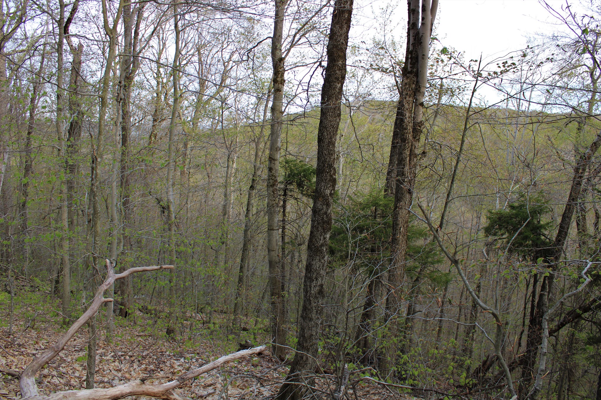
The terrain was mostly very friendly with just a couple of small areas of blowdown to contend with.  Just below the summit, I hit the first of a couple open, grassy areas that seemed so out of place near the top of an Adk peak.
Just after the second grassy clearing, one last climb brings you into a scratchy, spruce covered summit area.  Unfortunately, the 2234 foot summit is fully wooded and there no views at all
Just a short distance below the summit, on the very steep SW slopes, is a great ledge with terrific views.  Route 10 and the West Branch of the Sacandaga River are front and center with Good Luck Cliffs to the left, and State Brook Mountain right.

A great view west down towards the West Branch, threading its way along with State Brook Mountain rising above.

NW views towards Tomany Mountain.

A nice and easy bushwhack back down brought me over to the herd path, which I followed back out towards Chub Lake once again.  I decided to explore the damp, wet area near Chub's east inlet and enjoyed this nice west facing view.

A short walk back from the lake brought me back to my car and thankfully away from the pestering bugs.  They are really swarming now and I feel bad for anyone with a head net.  Hiked about 4.6 miles RT with a little over 900 feet of ascent. 

Route below.  Blue=Route in   Red=Route out


Monday, May 17, 2021

Erie Canal Towpath Community Connector to Vischer Ferry(Halfmoon/ Clifton Park)

Took advantage of yet another beautiful spring afternoon by doing a local walk along part of the Erie Canal Towpath Community Connector Trail along the Mohawk River to Vischer Ferry.  Parked in the small lot at the junction of Clamstream Road and Towpath Road just east of the Twin Bridges, and set out on this picture perfect day.

From the start of my walk I already had great views like this towards the Twin Bridges.
Hard to ask for better conditions than this...sunny, mid to upper 70's and no humidity.
Passing beneath the Twin Bridges with the deafening sounds of interstate traffic above.
Looking northeast towards Halfmoon from under the Twin Bridges.
Once clear of the Twin Bridges and west of the Northway, the sounds of rushing traffic are again replaced by the peaceful sounds of nature.  Here is a nice look at the inlet of wagers Pond.
Crossing over a long, well bike/ foot bridge.
Looking toward a calm area of the Mohawk River with a solitary fishing boat out enjoying the day.
The trail parallels the a stretch of the original Erie Canal, where the woods and waters are simply teeming with wildlife.
The view from a newer bridge that crossing the original Erie Canal looking west, with the towpath visible left.
A short side trail, called Tommy's Trail, heads off into the woods leading over to a quiet spot on the Mohawk.
From the end of Tommy's Trail, looking back east down stream on the Mohawk River.
From water level, looking upstream.
Back on the main towpath trail, I spotted these old bridge abutments, about halfway between Clute's Dry Dock and Whipple Bridge.
My turnaround point was at this spot where Van Vranken Road comes in.  With the weather being so perfect, I would've continued on much longer, but had prior commitments to get to.
A nice and easy return hike brought me back to the car, having worked up a decent little sweat.  Only saw a couple people out fishing and riding bikes on this ideal spring day.


Saturday, May 15, 2021

Hillabrandt Vly(Ferris Lake Wild Forest-Adirondacks)

 Decided to do a little bit of a change of pace hike today, following a rough snowmobile route about 3 miles into a large Vly in the rugged Ferris Lake Wild Forest located in the southern Adirondacks.  With nearly 100% sun and temperatures climbing into the low 70's, I was anxious to get out and explore a new area to me.  I parked in the large turnaround at the very end of Glasgow Road, which can be found west off Route 10, about 3.8 miles south of its junction with route 29A in Caroga Lake.  With the weather being so nice on a weekend day, I thought for sure I'd see several other cars at the trailhead...but I was wrong.  Much to my surprise. I was the only car there when I arrived!!  What are the chances?  Set out on the trail from the corner of the parking lot heading northwest, elevation 1330 feet.

Just a short distance into the woods, the trail comes to a crossing over babbling Glasgow Creek, which looked especially nice in its spring attire today.
The trail is actually a marked snowmobile route and an old continuation of Glasgow Road, which dates back to the late 18th century.  It heads generally northwest, reaching Glasgow Mill Site at 1.2 miles in.  This makes a very nice spot to stop and explore this handsome body of water and Mill remnants.
There are several different ways to enjoy the Millpond, as many rough herd paths seem to wander along the water's edges.  One nice spot where they converge is in this small clearing just a few yards off the main trail.
Being a wide snowmobile trail, its condition remains quite damp on its long course NW towards Hillabrandt Vly, with several ups and downs along the way. 
After 2.9 miles of relatively easy hiking(460 foot elevation gain), a small spur path leads down to a prominent campsite on Hillabrandt Vly's south shore.  This spot is pure gold...especially if you have it to yourself like I did today!
There are many other great spots along the south side of the Vly to enjoy the water views, which were pretty incredible today.
Crossing over a bridge in a bad state of despair, I enjoyed a nice look downstream at Middle Sprite Creek.
A small, grassy spot beside a beaver dam near Middle Sprite Creek is quite possibly my favorite spot to take in the view.  Couldn't have asked for better conditions!
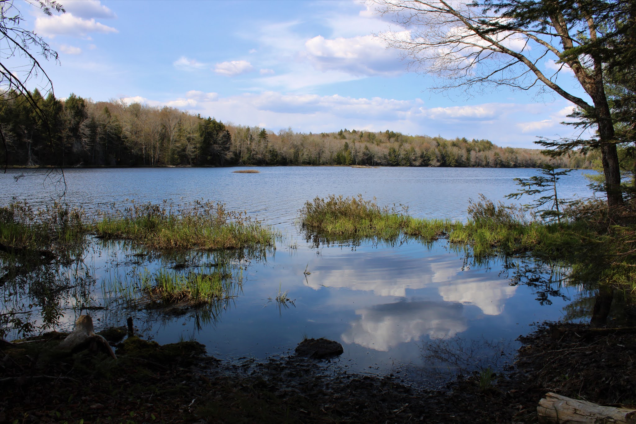
At a bend in the trail, in the SW corner of the Vly is this magnificent view.  I was pleasantly surprised at just how beautiful this area is.
Hillabrandt Vly is quite a large body of water at 55 acres, and there are a couple of nice spots that allow you to take in much of the view.

Less than 1/3 of a mile beyond the Vly sits an old abandoned hunting cabin that seems so oddly out of place.  The cabin was owned by the Hillabdrandt Rod and Gun Club until the state took over the land in 1979, and surprisingly has never removed it.
From the cabin, I traced my steps back past the Vly and all the way to Glasgow Millpond once again.  This time I decided to take part of the trail that explores the southeast end of the water along an old earthen dam.
In the area around the southeast side of the Millpond I was able to find many various cellar holes and old foundations near Glasgow Creek.

After enjoying my history lesson, and just before heading out the last mile on the trail, I decided to check out a small area of rocky ledges that sit just north of the trail, a short 2/10 of a mile bushwhack away.  It didn't really look like there would be any views, but it was worth taking a look.


Unfortunately any views were too obstructed by trees, although I could easily make the out the ridge across the trail to the south.

A short drop down found me back on the trail, which I followed the last 2/3 of a mile out to the car.  Hiked about 8 miles total for the day(nearly all trail) with about 1000 feet of total ascent, and shockingly didn't see another person all day.  Public service announcement..the bugs were swarming a bit, but not biting.

Route in red(trail) and short bushwhack in blue.