Same mountain-different route. Today's theme was to try to put a new spin on a mountain I've climbed numerous times before, utilizing a new area of State land. The new area connects Berlin State Forest with the Taconic Ridge State Forest from Comstock Hollow Road on the steep west slopes of Berlin Mountain. I drove a little ways down the rough dirt road and parked at a Berlin State Forest DEC sign, where a forest road heads north(Elevation 1230 feet). From there I walked scenic Comstock Hollow Road east for 1.3 miles, with the main Taconic Ridge just ahead in the distance.
The road is pretty rough but driveable for quite a ways if you have something with high clearance and 4 wheel drive.
Just after that clearing, the road drops into an overgrown area of brush and prickers, but an alternative road swings north into the damp woods, I followed this woods road around a drainage and then UP.
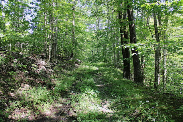
The woods roads I followed were in remarkably good condition, but as I climbed the wide road petered down into more of a wide foot path.
At just over 2000 feet in elevation, the trail turns sharply in a deep cirque and crosses state lines into Massachusetts. The only signage I could find was a blue forest boundary marker though.
Once into Massachusetts, the ascent becomes even steeper and more chock full of blowdown and brush, but at around 2330 feet I finally hit the top of the ridge, quickly picking up the well marked Taconic Crest Trail.
Once on the TCT, it was easy going, cruising north along the ridgeline, steadily making my way up towards Berlin Mountain.
After passing through open hardwoods and several large swaths of fern glades most of the ridge, the character of the forest changed drastically to dark and coniferous just below Berlin Mountain's summit.
Emerging from the dark conifers to Berlin Mountain's wide open, sunny summit.
Berlin Mountain's 2818 foot summit. This is the highest point in New York outside of the Catskills or Adirondacks.
The view from the summit used to be better, but tree growth has impeded on this resulting in okay views east towards the Greylock Range.
For my descent, I decided to try to follow an old woods road directly west off the summit towards Cowdry Hollow, but quickly lost it and ended up in a sea of ferns.
I did my best to find the woods road, but decided instead to simply bushwhack down the mostly open slopes.
While making my way west down the ridge, I came to a pretty little 2050 foot summit bump filled with more ferns.
In a brushy clearing, filled with pricker canes, I was able to find what I would surmise to be a better view with the leaves off west at an unnamed summit bump.
Map below. Red P=Parking Red tracks=Ascent Blue tracks=descent


