Search This Blog

Wednesday, April 28, 2021

Ooms Conservation Area(Town of Chatham-Columbia County)

Did a short walk at the Columbia Land Conservancy's Ooms Conservation Area this afternoon, barely beating the incoming rain.  Although overcast, the day was quite warm with temps in the low 70's and even a little humid. 

Even during the busiest times, it's still nice to make some time for a relaxing walk. Covered about 1.5 miles total.


Friday, April 23, 2021

Pine Mountain-"Hickory Hill Ski Center"(Warrensburg-Adirondacks)

 Decided last minute to do a small hike late this afternoon to the summit of 1790 foot Pine Mountain at the old Hickory Hill Ski Center in the town of Warrensburg.  Pine Mountain is one of the notable "Three Sisters" peaks that rise just west of the hamlet of Warrensburg and is open to hikers.  I parked on the shoulder of the ski center access road, being sure not to block the gate and headed out(elevation 685 feet).  I walked up the access road for a moment before angling over towards the ski slopes, with bright blue skies above.


 I decided to go straight for the steepest slopes and began breaking into a good sweat in no time.


Within just a few minutes of very steep climbing, I was already getting very good over the shoulder views to the north with the Hudson River visible down below threading through the mountains.


Just a bit further up, I stopped to catch my breath and noticed that many more peaks to the north were becoming visible, as well as more of the Hudson River below.  This zoom view takes in a farm along Rive Road near the foot of Sugarloaf Mountain, as well as a multitude of mountains.

As I hit some shaded areas around 1400 feet, I began to see some small spots of snow lingering from the past couple of winter like days.  Today's temps in the low to mid 50's here has melted away nearly any snow at this elevation.
These ski slopes are no joke, as I gained 1100 feet in less than one mile.  It helps that there are awesome views like this one of Sugarloaf Mountain  to enjoy.
Just below the summit, a large clearing opens up and provides far reaching NW views with Crane Mountain being the highest peak on the horizon.
One last push brought me up to the 1790 foot summit.  There are some trees sparsely spaced about here, so it feels more open than it is.

Just a few yards away from the summit is a spectacular view SW towards Bald Mountain, known as the Third Sister, on the right.  Several of the peaks along the Hudson River just south of Bald are also visible.

From the same vantage point looking south, the view encompasses a large swath of peaks stretching down towards Lake Luzerne.
I wandered the summit area taking in the great views, such as this look towards the Hudson River and more mountains than I can count stretching out to the north.
After enjoying the open summit area, I dropped down another steep slope with views of neighboring Middle Mountain(Second Sister).

Just before one of the last steep drops, I stopped to soak in one more view of Sugarloaf and the Hudson.  A bit of a cool breeze was the only negative on this otherwise perfect spring afternoon.

Got back to the car and was surprised that I had hiked just a bit over 2 miles RT, with over 1100 feet feet of ascent.  Even with many stops, it was a very quick but highly rewarding hike.  Next time I may walk more of the access road to stretch the hike out a bit longer.  No matter what you choose to do, there are many great views to be had.


Tuesday, April 20, 2021

Mud Pond, Round Pond and Wolf Pond Mountain(Wilcox Lake Wild Forest-Adirondacks)

Headed north this morning into the southern Adirondacks to do some exploring in the Wilcox Lake Wild Forest on an overcast, gray day.  My game plan for the day was to start from Mud Pond Road(just south of Crane Mountain) and then hike to Mud Pond before bushwhacking up to 2576 foot Wolf Pond Mountain, which towers directly above both Mud Pond and Round Pond.  If I had time, and the rain held off, I would pay a visit over to Round Pond as well.  

I parked at the trailhead for Mud Pond(elevation 1940 feet)and took the yellow blazed trail the short 2/10 of a mile down to the pond.  From the water's edge, there is a good view to Wolf Pond Mountain, my next destination.

Left the pond and headed south into the woods where I stumbled across several vintage Genesee cans. 
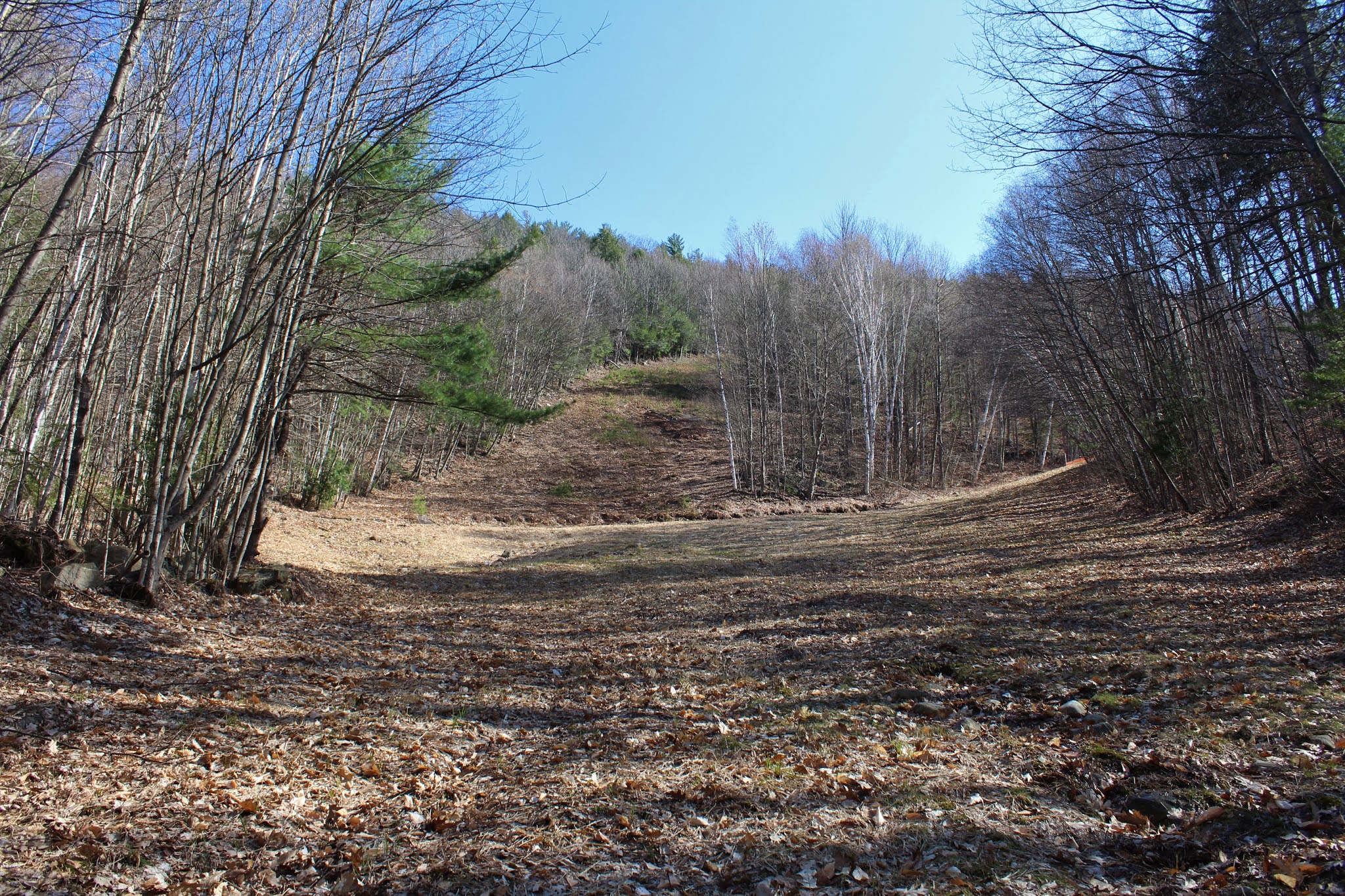
The woods were mostly open, as I continued south, crossing over a small, pretty drainage near the lower slopes of Cherry Ridge.
Once at the south side of Mud Pond, I headed more SW, skirting the lower slopes of Cherry Ridge before making my way up the east slopes of Wolf Pond Mountain.  It was a gradual climb at first, but the slopes got a bit steeper at about 2200 feet.
Heading up through the steep, open slopes, where it was beginning to get noticeably colder.  With the leaves still off the trees, there were some nice screened views towards Crane Mountain behind me as I neared the top.

After a last steep push up, I arrived at the wooded 2576 foot summit, where a cold wind was really kicking in.
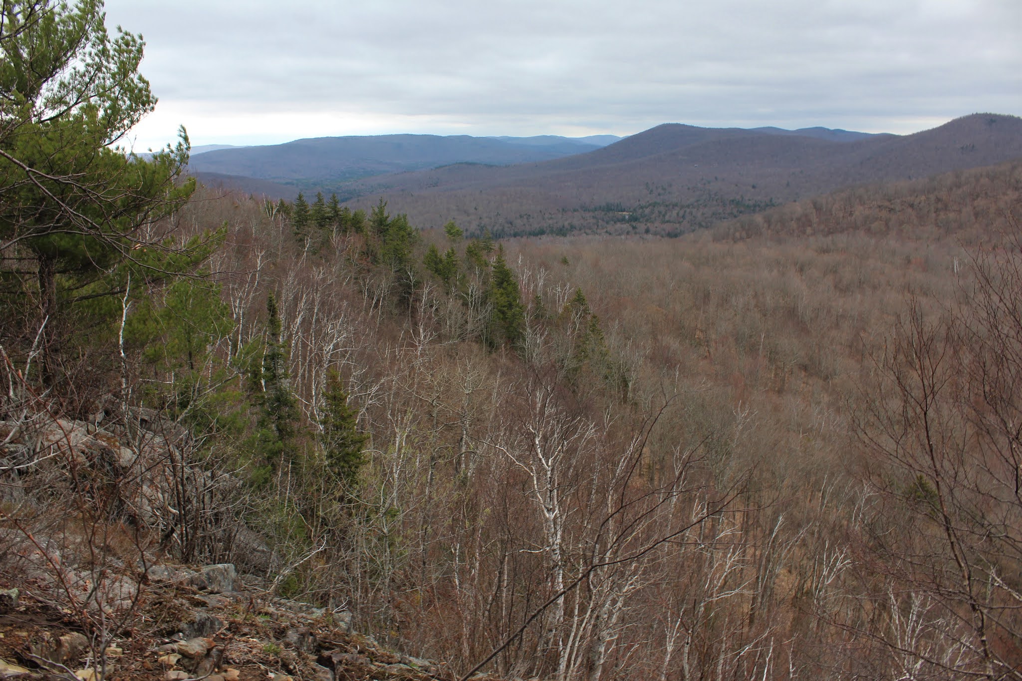
Although there were no views from the summit, a short but steep drop down the NW slopes soon brought me over to several large patches of open rock.  Rising impressively directly in front of you is Bearpen Peak and Long Tom Ridge.
A stiff, cold NW breeze was the only deterrent to my fun exploration of these open rock patches.  There were several different good view points, depending on how willing you are to explore.

A bit further down, I enjoyed this SW view.

I circled around the open ledges, finding more north facing views out over Round Pond towards Mount Blue.

The view over Round Pond is very nice, but unfortunately clouds and light showers(perhaps even snow squalls) were quickly moving in over Mount Blue and Ross Mountain to the north.
The cold NW winds finally chased me down off the ledges and back into the much more comfy woods.  April and early May can be great for bushwhacking because of the lack of bugs and vegetation.

On my descent, heading NE, I angled slightly more towards the south shore of Mud Pond, where I ended up finding this neat view of the pond and Crane Mountain. 

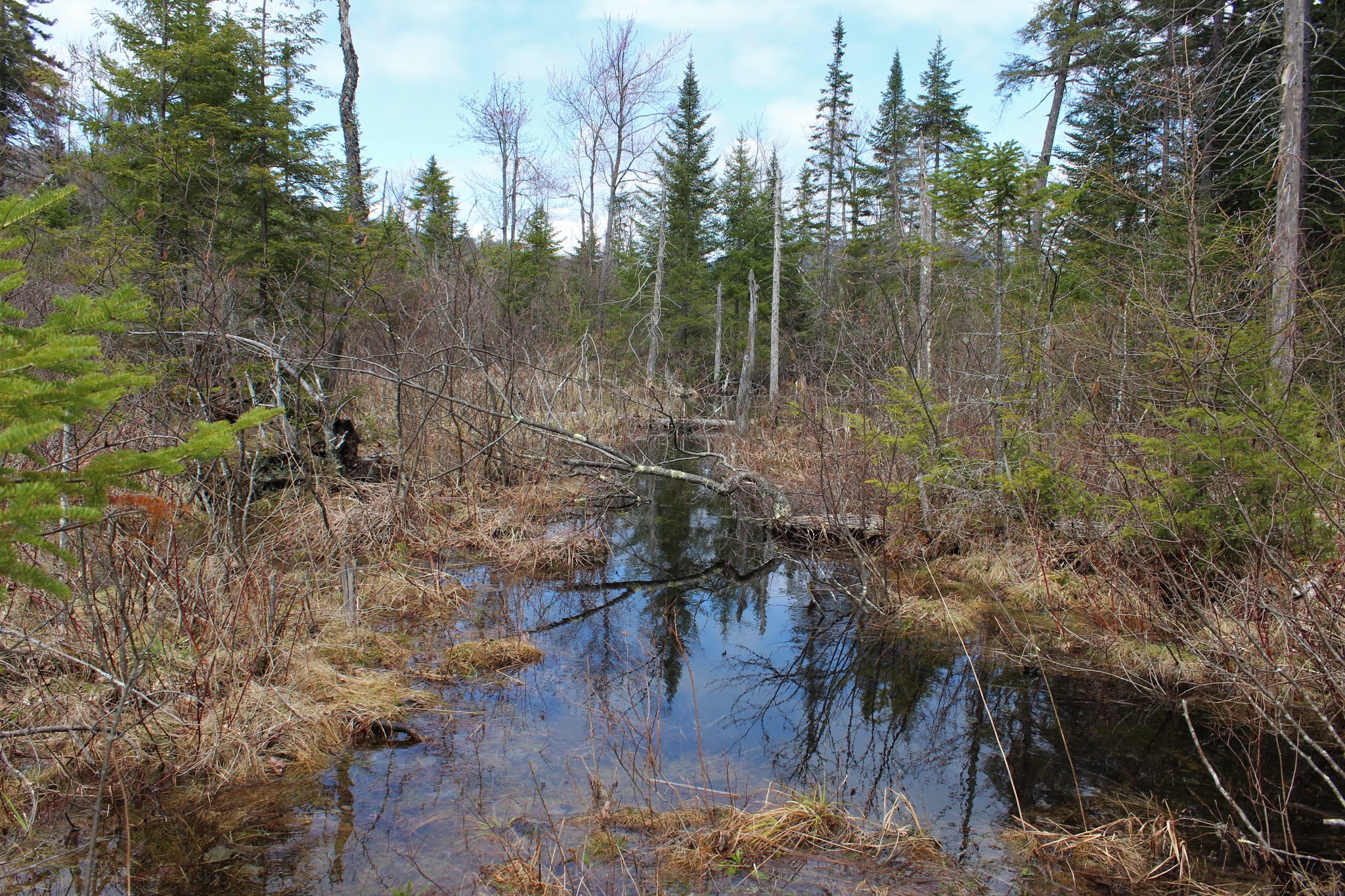
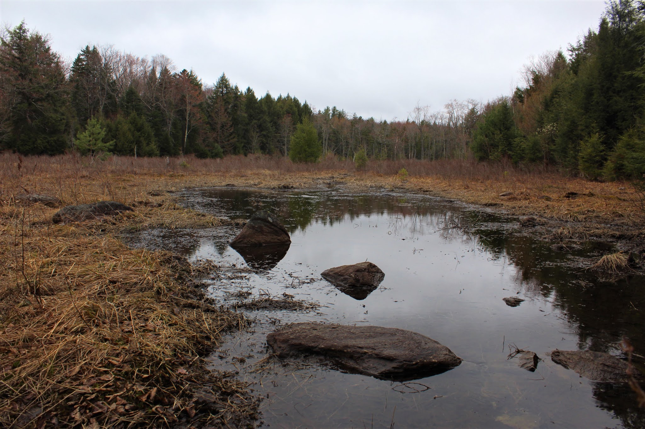
Although I found some nice water views, the down side to hitting the lowlands around the pond are the surrounding wet areas that I had to navigate.  Luckily I managed to keep my boots mostly dry.
Circling back around to the east side of Mud Pond, I soon found myself back on the trail I had started on.  Since skies were beginning to clear, I decided to give the pond another look.
Looking back south at Wolf Pond Mountain, where I had just been.

A short walk brought me back to the car, where I had the option to go home or go check out Round Pond.  Since the weather seemed to be clearing up, I decided to hike over to Round Pond as well.  A short road walk, and then half mile yellow marked trail brought me down to the waters edge.  Round Pond is a MUCH bigger body of water than Mud Pond, with many nice spots to enjoy the water. 

The yellow trail continues along the north shore of the pond, with many good water views, as well as Wolf Pond Mountain. 
Clearing skies and impressive views.  Wolf Pond Mountain looks incredibly impressive from this vantage point.  The small "island"in the foreground is actually reachable by carefully crossing the brushy area, although you will probably end up with somewhat wet boots as I did.
From a small, sandy spot along the north end of the pond I enjoyed this view towards Bearpen Peak and Long Tom Ridge, with Stony Point on Round Pond to the left.
Hiking back on the yellow blazed trail, with only a few wet areas.
Once back on Mud Pond Road, it was a nice and easy hike to the car under mostly blue skies. 

Hiked roughly 6 miles RT, with just under 1500 feet of total ascent.  I didn't see another person all day in this quiet little corner of the southern Adks.  What an absolutely beautiful little area that seems to fly well below the radar!!


Saturday, April 17, 2021

Saratoga Spa State Park(Saratoga Springs, Saratoga County)

Decided to do a little exploring at some of the popular and not so popular spots at the 2379 acre Saratoga Spa State Park while in the Saratoga area this afternoon.  Following the last couple days of rain and snow, cloudy and cool conditions persisted even today, but being a weekend, there were still lots of folks out enjoying the park.  I parked in the first parking area along the shoulder of East West Road, just east of Route 50 and headed into the woods on the north side of the road, starting on the blue blazed Wetland Trail(also yellow blazed Five Mile Trail). This trail soon meets up with orange blazes of the Peerless Trail, which I followed up to the Geyser Creek Trail.  About this time is when I started hearing other voices and running into more people out walking.  Even with the amount of people on the trail here, the sections of the trail that follow Geyser Creek are definitely my favorite.

Stopped by the water's edge to check out one of the several bridges that cross Geyser Creek.

Typical spring conditions persist, with water pooling in low lying areas .

One of the most impressive sites to see here at the park is the Geyser Island Spouter, which sends a narrow plume of water 10 to 15 feet in the air.

The Geyser Creek Trail follows red blazes and runs for nearly 3 miles throughout the park.
As a result of the recent wet weather, there are many sections of the trails that are now quite muddy. 
Although I knew this was a popular park, I was a bit surprised by the amount of people out hiking, jogging or dog walking on such a dreary day.  That all changed drastically however, when I headed to the south side of East West Road to explore the Wetland Trail.  I instantly had the woods to myself, and felt like I was a million miles away from the Geyser Creek area.
Continuing south, I soon arrived at a wooden overlook of a large, picturesque wetland.
Just as I arrived at the overlook, almost on cue, the clouds began to slowly break up, offering my first glimpses of blue sky.  I kept looking around thinking that someone else would be coming, but it didn't happen.  I enjoyed the peaceful scene for several minutes, before continuing on. 
I followed the blue blazed Wetland Trail loop all the way back to the car for a total of about 3.5 miles altogether on various trails.
 

Monday, April 12, 2021

Escarpment Trail(Capital District Wildlife Management Area-Rensselaer County)

With an iffy forecast today, I decided to stay close to home and explore an area just east of Cherry Plain State Park and part of the larger Capital District Wildlife Management Area along the Escarpment Trail.  While this is a well known area for summer swimming and fall hunting, it has never been an incredibly popular hiking area, which is fine with me. I parked in the designated parking lot east and uphill off Miller Road(and just east of Black River Pond)and got started at an elevation of 1465 feet.  As expected, I was the only car in the lot when I arrived.  The trail is marked in yellow and leaves the east corner of the parking lot, heading uphill northeast following old logging roads.

While spring is coming to life in the valleys, the woods are a bit further behind at this elevation and there is quiet stillness to the trails.  There has been extensive logging in these woods over the years, which has left behind large swaths of prickers and briars to contend with, although thankfully not fully grown in yet. 
Up and over 1700 feet and just west of the trail I spotted a large open area that looked like it had been logged so I decided to give it a look.  Once off trail the woods were wide open and easy to navigate over to the clear cut area.  The logged area, unfortunately, was inundated with thick prickers so it was slow going from here.  I did manage to find some nice west facing views from a small open knob.  The hills just west of Cherry Plain can be easily seen, and from here it is clear why they call these high elevation woods the Rensselaer Plateau.
Back in the open hardwoods, I came across handsome old stone walls.
A short bushwhack brought me back over to the yellow blazed trail, which continues east, soon crossing a pretty tributary of West Brook.
Just a few yards off trail and near the stream crossing is a large beaver meadow. 
If you were to ever spot a moose, this seemed like the perfect, rugged spot.
Continuing east, the trail soon comes to Shaeffer Road, which is no longer maintained in this section.  Today, it is used as a snowmobile corridor. 

The escarpment trail follows Shaeffer Road north for a very short distance before heading back into the woods, heading east.  This junction can easily be missed if not paying attention, but it is found at the edge of a large clearing.  Once back into the woods, the trail hugs the eastern edge of state land, coming very close to Buck Rock which unfortunately sits on private land.  Continuing north, I soon arrived at an even larger logged area at around 1900 feet, looking north.


The yellow blazes head right through the logged area, so I followed along, carefully avoided down trees and branches which littered the ground.  The silver lining to this open clear cut, are the good views east towards Misery Mountain and the Taconic Range, which were shrouded in low clouds and drizzle. 

With a little bit of a steadier rain starting to fall, I decided to turn around at the north edge of the logged area and headed back.  I did make one small pit stop off trail about 1/10 of a mile, atop the wooded 1935 foot "peak" just NW of Buck Rock
A nice and easy return hike on the yellow trail brought me back to the car, with a light rain shower falling on my head.  Hiked about 3.8 miles RT(mostly trail/some bushwhack), with 800 feet of combined ascent.  Didn't see another person the entire day.