Headed up north on yet another gorgeous spring day, to do a small off trail hike to an obscure peak in the Hammond Pond Wild Forest, tucked away in a quiet NE corner of the Adirondacks. Mile Square Mountain rises to a modest 1747 feet and sits unassumingly north of Ensign Pond Road, so you might be asking yourself what the draw of this small peak was to me. Well, I had good intel that there were stellar views near the summit from some open rock....and that was enough for me. Parked in a small, unmarked parking area with room for roughly 2 or 3 cars on the south side of Ensign Pond Road(elevation 1080 feet) and headed north into the woods. Immediately, I began climbing through a steep, dark coniferous forest.
To avoid the steepest drop, I headed NE on a gradual descent before heading right at the summit. The summit itself is even steeper than the first knob, with several huge cliff bands to negotiate.
After weaving my way up the steep slopes, I soon emerged on the open rock ledges just south of the summit.
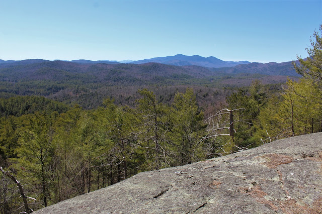
From atop these ledges, the views are great. The view to the south takes in Hail(left) and Moose(right).
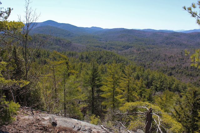
Exploring the ledges, with the west view really opening up, stretching into the Hoffman Wilderness.
Wandering the open slopes above the first set of ledges.
The west views encompass Hoffman, Blue Ridge, Niagara and Nippletop(Dix Wilderness-not the High Peak).
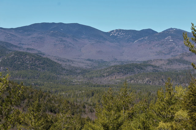
To the NW, the Dix Range comes into view(zoomed in a bit). The lack of snow in that direction waas a bit surprising.
A final push up from the open ledges brought me to the wooded 1747 foot summit. Even from here, however, there were filtered views towards the surrounding peaks.
As always, the descent was the toughest part of the hike, as I carefully made my way down the steep slopes. Down in a low, sheltered spot, I found some stubborn snow hanging on...surprisingly the only snow I saw all day.
Once off the steepest parts, it was a nice and easy descent back to the car. A spectacular early April day, with full sun, temps approaching 60 and almost no wind! 2.3 miles RT, with over 900 feet of ascent. Didn't see another soul all day!!
Route below. Red=Ascent Blue=Descent


No comments:
Post a Comment