Checked out a brand new, large area of public land (and soon to be part of the Capital District WMA) up on the Rensselaer Plateau this afternoon. This swath of land is located just west of the original Capital District WMA and dotted by small peaks and many wetlands, which are mostly easily accessed by rough forest roads. I parked at the gated end of Fire Tower Road in West Stephentown(Elevation 1717 feet) and headed east, following the road on foot. The sun was shining, a light breeze was blowing, and humidity was low making for perfect spring conditions.

Within just a few minutes of walking, I felt as if I was a million miles away from civilization, with the tower atop nearby Seven Hills easily visible above to the east.


From the summit clearing, I bushwhacked south back down to a former Cowee logging road, which made for easy travel. I passed a NYS Forest Ranger Truck parked in this area, but didn't see the Ranger until much later at Stump Pond.

Further along the road to the SE, I came upon this beaver pond, near the source of Roaring Brook's headwaters.

The old road continues SE. deteriorating further along the way, but still easily passable on foot.

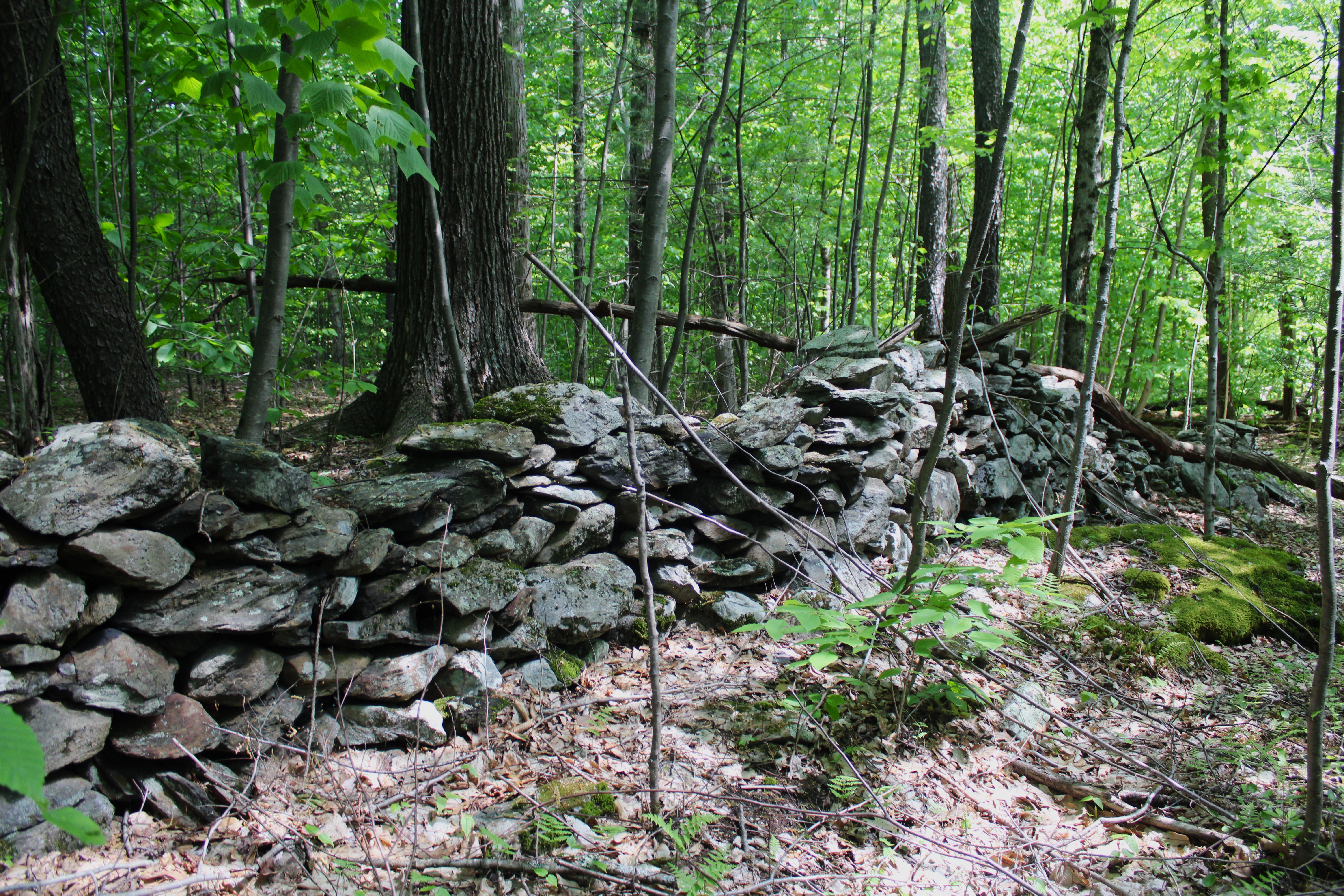
Eventually I turned right, south, onto Williams Road, which is an abandoned town road that soon splits again. At the split on Williams Road, a large meadow and foundation can be found, suggesting that this was probably a farm and homestead 100 years ago or so.

I decided to stay south on the original route of Williams Road, which gradually climbs up towards the 1736 foot summit of Buckwheat Hill. The summit area sits just east of the road, with the true summit sitting in a large swath of hardwoods and littered with old, rusted garbage.

A few yards away from the summit is a large, grassy meadow.

After hitting the top of Buckwheat Hill, I continued a short distance south whereI was able to pick up a road along the power lines that swings back NW.


A few short strides away from the outlet was stunning Stump Pond. This high elevation pond has a very Adirondack vibe to it and a sense of solitude.

The solitude was briefly broken up by a Forest Ranger, whose truck I had seen earlier and was also visiting the pond. We chatted for a bit and he seemed to be a real nice guy. He told me that there was another pretty wetland just north of Stump Pond that sits well off trail. Of course I had to pay that a visit too..and he was right...it sure was pretty.

From the weltand. an easy bushwhack NW through mostly hardwoods,brought me back to the Cowee logging road and eventually my car. A grand tour of this new public parcel, high up on the gorgeous Rensselaer Plateau. Covered 6.9 miles total with 900 feet of total ascent.
Map below. Red P=Parking Blue X's=Summits Hit and Stump Pond View Red X's=Wetland Views


