Search This Blog

Tuesday, June 30, 2020

"East" Shingle Mountain(Lake George Wild Forest-Adirondacks)

Was looking for something new and a little different while in the Lake George area today and remembered reading a trip report about this small 1650 foot unnamed peak which sits just north of Prospect Mountain and  right beside the Northway.  Thought it looked interesting enough to give it a shot so drove to the parking area on Big Hollow Road just east of I-87 to get started, elevation approximately 620 feet.  Immediately after leaving the car I headed west under the set of culverts running beneath the interstate.
Big Hollow Road is a very, rough old road that climbs very steeply west up away from the interstate.  Off to the left of the road is Big Hollow Brook, which offers up several pretty cascades as it makes its way down the hollow.
The small falls and cascades are easily reached down lower in the hollow, but the walls above the brook grow increasingly steep and difficult to traverse the higher you get.
The ascent up Big Hollow Road is rocked filled and steadily steep, but never too difficult.  The high humidity did make the climb seem much tougher, however.
Just above 1300 feet I left the road, heading northeast, then crossed under power lines and re-entered a conifer forest.  Found a small old woods road that climbed for a bit before eventually picking up a foot trail of sorts, marked with white blazes.  They headed towards the unnamed summit so I simply followed them up.  Near the summit, the woods transitioned to mostly hardwoods and sedge grass.
From a clearing just below the summit, a southern exposure provides up close and personal views of Prospect Mountain and Black Spruce Mountain.  The radio towers between the two peaks can be easily picked out as well.
Dark storm clouds were rolling in all around us, quickly surrounding Prospect's summit area.
A framed look down towards Million Dollar Beach and Lake George Village.  This is certainly a view that would be much better with the leaves off the trees.
The summit ridge was very pleasant and made for a nice stroll through meadow like conditions.
I searched around and found the nondescript 1650 foot high spot that was less than a football field away from the ledge views.
Instead of turning back, I decided to follow the white marked trail east, where it dropped down the nose of the ridge.  A short distance down the white markers disappeared, but the remaining herd path was very easy to follow.  With strengthening winds and claps of thunder all around, I made a hasty retreat down this trail.
The trail basically vanishes at the bottom, but I was within eye sight of Big Hollow Road again, so I popped back out onto the road and made it back to the car in no time at all.
Hiked about 3.3 miles RT, with 1100 feet of ascent.

Cobble Hill and Bailey Pond(Hoffman Notch Wilderness-Adirondacks)

Seems as though there are hundreds of "Cobble Hill's" spread throughout the Adirondacks, each with their own solid views to enjoy.  The Cobble Hill I was setting out to hike today is a trail-less 2234 foot peak in the Hoffman Notch Wilderness that can be easily reached by bushwhack from the Hoffman Notch south parking area at the very end of Loch Muller Road.  With storms popping up all around me, I decided to be hasty, and was prepared for the possibility of getting wet.
Started out in humid conditions on the blue blazed Bailey Pond trail for about 1/4 of a mile passing through a peaceful hardwood forest.
At a height of land about 1/4 mile in, I left the trail and began my bushwhack, climbing steadily but not steeply.
Earlier morning rains left the woods damp and within just a few minutes I was soaking wet, from the humidity and wet surroundings.
Just north of the summit, the ridge flattens out a bit, passing through fern glades and meadows.
The summit is fully wooded but just steps away are spectacular ledge views to the south and west.  To the SW, Bigsby Hill stands front and center with Gore Mountain rising far off in the distance.
Due south is the mass of Oliver Hill.  There are other decent views of the surrounding peaks as well, but summer vegetation blocks what would be much better views.
After enjoying the summit views, I bushwhacked NW down the steep slopes of the peak down towards Bailey Pond.  A fairly easy descent brought me to the south shore of the pond, but it's tough to get too close to the water because it is almost like a wetland surrounding the pond. 
I continued bushwhacking east around the pond until I finally hit the trail near the east edge of the water.  From there I checked out Bailey Pond's outlet stream, where there is a wire crossing for times of high water. 
A very short distance from the outlet, I quickly arrived at Bailey Pond.  Clearing skies made for perfect reflections, with Hayes Mountain towering above to the west.
With the bugs annoying as always, I didn't linger long.  Back on the trail, it was a nice and easy 8/10 of a mile hike back to the car. 
Luckily the rain held off(I even heard thunder on the trail hike out!)  4.2 miles RT with 800 feet of climbing.  Today's Route.


Tuesday, June 23, 2020

Huyck Preserve(Helderbergs-Albany County, NY)

Headed up to the Edmund Niles Huyck Preserve, located in the town of Rensselaerville in the Helderbergs in far western Albany County on yet another very hot day.  While the valleys are in the midst of a heat wave, the hilltowns do provide a bit of relief from the sweltering heat and humidity.  I parked at the trailhead for Lincoln Pond across from the Eldridge Research Center on Pond Hill Road to get started.  Within just a few yards from the car, the view of Lincoln Pond above a dam is one of the prettiest spots in the entire preserve. 
I took the Lincoln Pond Trail, which starts on the east side of the pond and offers up spectacular views along the way.
The Lincoln Pond Trail forms a 2/3 of a mile loop complete with a couple of nicely built wooden foot bridges on the north end of the pond.
Puncheon help keep feet dry through a wet section of trail, although everything is dry this year.
Well crafted stone walls lace these woods, many marking old boundary lines.
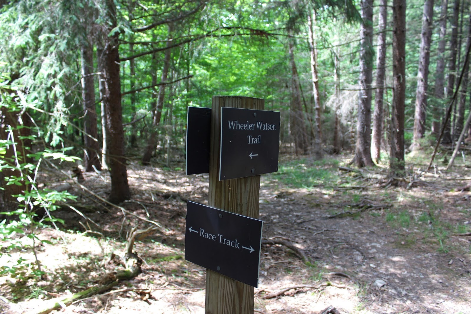
After completing the pond loop, I continued east on Pond Hill Road for about 2/10 of a mile, where I picked up the Wheeler-Watson Trail.  This trail heads uphill, north into the woods, soon arriving at a haunting 19th century cemetery.
Headstones from some of the early Rensselaerville residents.
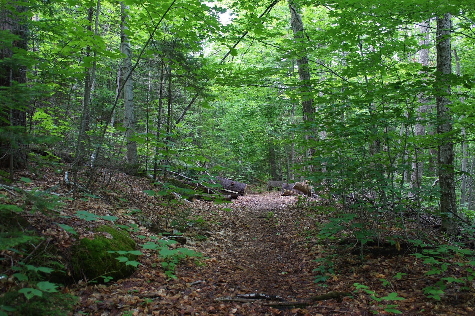
The trail passes without much fanfare over the top of a small, flat hilltop.
Taking the Race Track trail at a well marked junction.
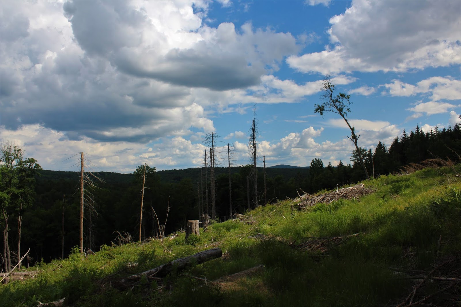
On the Race Track...coming around the third turn!
After completing the Race Track loop, I picked up the Ordway Trail heading south, passing by a pair of small, boggy ponds.
On the Ordway Trail, which drops down to a road crossing over Pond Hill Road, and down towards Lake Myotosis.
The view from the north shore of Lake Myotosis, which sits just a few yards off trail.
Doesn't get much drier than this. The inlet to Lake Myotosis is bone dry.  We NEED rain.
Got back to the car feeling pretty good.   A light breeze kept it from getting too unbearable.  Hiked about 2.5 miles RT, with just over 300 feet of climbing.

Saturday, June 20, 2020

Clapper Hollow State Forest(Schoharie County, NY)

Welcome to summer!  Not my favorite season for hiking, but the long days sure are nice.  With high heat and humidity today, I decided to explore 818 acre Clapper Hollow State Forest in the hills of Schoharie County.  There were no other cars in the lot when I arrived in the parking are along Clapper Hollow Road, marked with a DEC Nordic Ski Trail sign.  Elevation to start the hike was already over 1800 feet, meaning snow pack is probably a good bet for most of the winter.
There are over 8 miles of trails in the State Forest, some marked-some not.  I started on an unmarked but obvious old road/ ski trail, with dark storm clouds rolling in above.
 The forest is extremely serene and laced with an abundance of fern glades.
I wandered around a bit on various trails and bushwhacked a little too, checking out this wide open clear cut area, with a view SE.
Near the north end of the State Forest is a small but pretty pond, with the lively sounds of nature all around.
Situated on the north shore of the pond is a Lean To, which has suffered some damage from a large fallen tree.
 The Lean To occupies a pretty spot just yards from the water and is shaded by spruce.
 From inside the Lean To looking out.
 A nice spot for a fire...smores anyone?
 On the return route, I followed a wide ski trail south, marked with yellow blazes.
 Passing through more dense fern glades.  Very picturesque.
 Of course I found many old stone walls, that pre-date the state purchasing this land in the 1930's.
Back near the car, I decided to check out a trail that follows the east side of the State Forest...and summer growth has really grown thick here.  There were many spots with fallen trees or where the trail wasn't even visible.  This section may be better on a cold winter day, minus vegetation. 
Hiked about 3.3 miles total with 370 feet of climbing.  A quiet little retreat on a sultry start to summer.