Search This Blog

Tuesday, March 26, 2024

Hand Hollow-East(Hand Hollow State Forest-New Lebanon, Columbia County)

Had a small window of time to get out this morning, so took advantage by visiting the Hand Hollow State Forest in the town of New Lebanon, a short ten minute drive from my house.  Having visited each of the other sections of this newer State Forest previously , I decided today to explore the far eastern part, located just north of CR 34.  Parked in the designated lot on the south side of the road(Elevation 980 feet) and to no surprise had the place to myself.

Crossed the quiet country road and immediately picked up a flagged path through the woods that ran parallel to a large meadow.  Wasn't sure what to expect but it headed north where I wanted to go so I chose to follow it.


Crossing over a small stream.

Took a moment to check out the large meadow, which sits atop a small hill, and provides views towards the south and southwest at the nearby hills.
Back in the woods and continuing to gain elevation on the flagged route, passing by old stone walls.


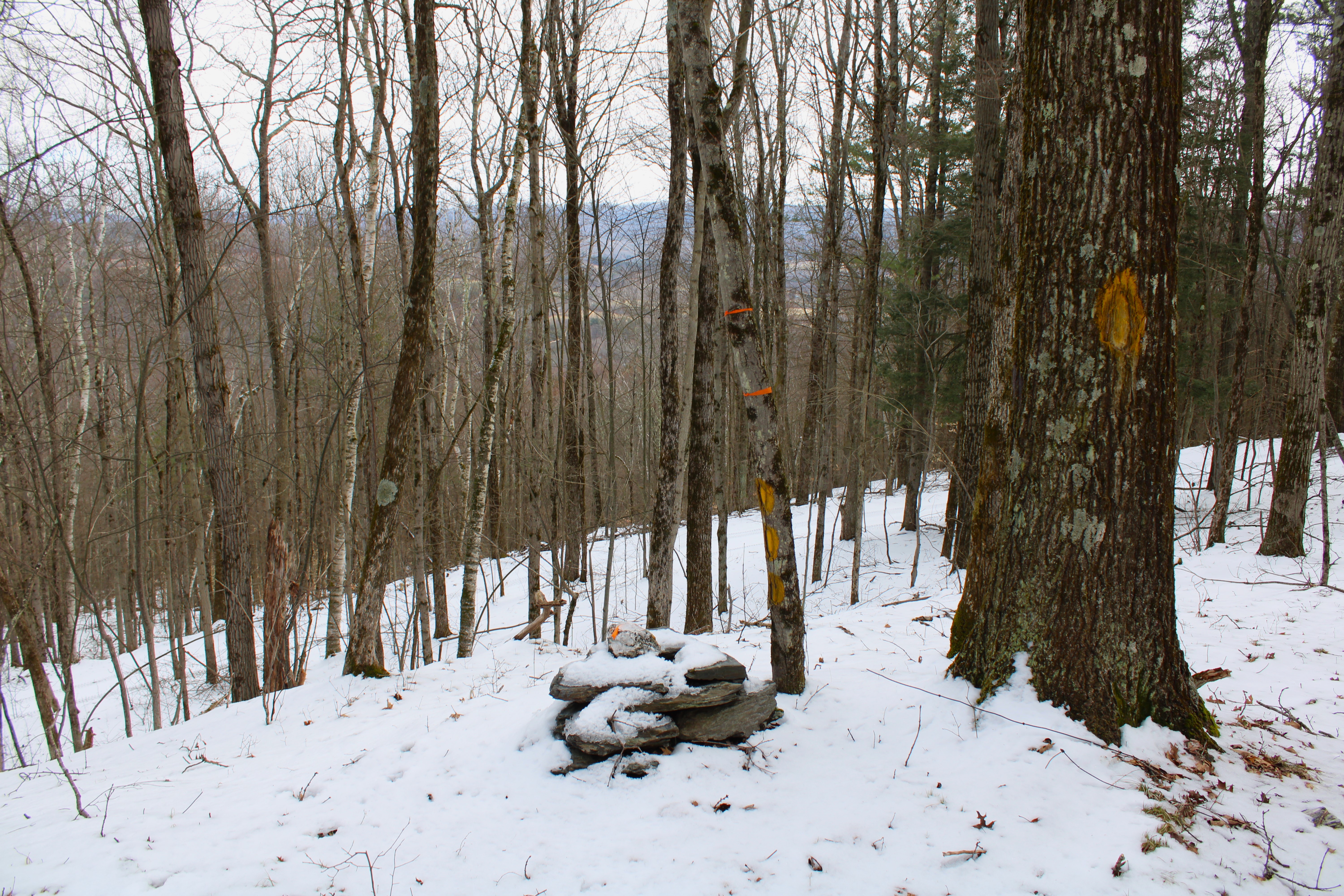
The flagged route circles around a small high spot on the ridge before turning east and heading towards the true high spot on the ridge where it seems to promptly disappear.  I hit the wooded 1350 foot summit anyway, enjoying the snow covered stone walls on the north slopes below the top.


Explored the steep northeast slopes to the edge of state land below the ridge, with filtered views to the NE.

Continued SE towards another high spot on the ridge, where there was another open meadow, this one filled with prickers and lacking views.


From the last meadow I continued an easy bushwhack west around private property and back to my car.  Total distance covered was 3.2 miles and 700 feet of ascent.

Map below.  Red= P=Parking   Blue X's=High spots on ridge that I hit   Black X=Meadow with Views  Black circle=Meadow with no view


Saturday, March 16, 2024

Brace Mountain's Western Ledges(Taconic State Park- NY)

After hitting Bear Mountain's east cliffs in Connecticut, I crossed over the Taconic ridge to the west into NY to hit some off trail ledges on Brace Mountain's steep slopes.  I parked at the trailhead along Quarry Hill Road(Elevation 960 feet) where I caught a glimpse of the cliffs I was aiming for just above the nearby trees on private property.

From the car, I followed the trail a short distance around the private property at the start of the hike, and then began my bushwhack north through wide open woods.  The slopes grew gradually steeper until I hit an old woods road that aided my climb.
Just above the woods road, the terrain becomes extremely rocky and steep.
Combining the woods road and a bushwhack, I made my way up to the first in a series of open clearings and ledges around 1700 feet. 
Although I was over 600 feet below the summit, the views from these ledges were nearly as good.   This is a dramatic look west over the valley of Route 22 towards Round Ball Mountain, Gentian Hill and Kite Hill.

From another expansive clearing further along, another grand view to the SW.
Sprawling view north towards the Harlem Valley with Taconic ridgeline to the right.
I explored several different clearings which each presented its own unique view.  NW view with Fox Hill to the left.

Beginning my descent through ledge after ledge and view after view.
One last, large clearing at about 1500 feet before I hit the real steep terrain.  This last view SW takes in a north chunk of Dutchess County as well as the southern Taconic ridge.

Instead of turning back to retrace my steps, I simply tried to complete a loop by dropping down SW in a direct line towards my starting point.  A very steep and tricky descent brought me down to some easier terrain and a drainage crossing in the late afternoon sunshine.

Once down low, it was an easy bushwhack through open woods to the trail and car.  Covered about 2.3 miles RT, with 800 feet of climbing and roughly 98% bushwhack.

Map below.  Blue P=Parking at TH on Quarry Hill Road.    Blue X=Large area of ledges


Bear Mountain's Eastern Cliffs (Mount Riga State Park-Connecticut)

Decided to head east into the northwest corner of Connecticut to check out a long series of cliffs and ledges along the lower slopes of Bear Mountain's east face.  Most of the hike today would be via trail, but the exploration of the the targeted area was all off trail.  Parked at the Undermountain trailhead along Route 41(Elevation 760 feet) and headed west along the marked trail, slowly climbing up to the junction with the Paradise Lane Trail.  From the junction I followed the Paradise Lane Trail to the Paradise Lane campsite.

Once at the campsite, I followed the well trodden path east over to a bear box and water source and then a nicely framed vista to the east.
From the marked trail and vista, I continued south passing along a series of additional ledges and open views.  There are many very nice vantage points to enjoy such as this clear view south towards Lions Head. 
From another open ledge, looking NE towards Washinee Lake and Washining Lake.

A great lunch spot with killer views to the SE, with Lions Head to the right.

After enjoying the great views, I turned back up and over the ledges and towards the campsite, where I picked up another path north.  I continued on this path north for a few minutes before beginning my true bushwhack towards a large set of cliffs.  The woods were wide open and easy to navigate as I passed by this small vernal pond.


Crossing over a small stream cascading down towards the edge of the cliffs below.

Carefully made my way down to the top of the cliffs, where the views are quite striking.  This is the view south along ridge I had just been on as well as Lions Head beyond.

From these cliff tops, there is a sheer drop off to the east, which provides a nice view down over Fisher Pond and Washining Lake.

After enjoying the views from atop the cliffs, I turned around and retraced my steps back to the marked trail and eventually my car.  Covered about 4.4 miles RT, with over 800 feet of ascent.

Map below.  Blue P=Parking   Blue Circle=First set of Ledges and Views  Blue X=Cliffs