Headed over to George Allen Hollow in eastern Rensselaer County to explore a new public access bushwhack route to one of Misery Mountain's many summits on the Taconic ridge. Parked in a small pull off on George Allen Hollow Road(Elevation 1350 feet) and crossed the road heading south through an open meadow with views at the ridge I'd be heading for. A green landscape and spring blossoms on a 75 degree day made for nearly perfect conditions.
Early May means plenty of wildflowers, including this trillium.
Once firmly into the woods, the ascent begins. At first the climbing is moderate, but very quickly becomes quite steep.
Although the slopes were steep, the woods were quite open to make for pretty easy going.
Open vistas are few and far between on this area of the Taconics, but I was able to enjoy some small windows down into the valley and to a further ridgeline north of Mattison Hollow.
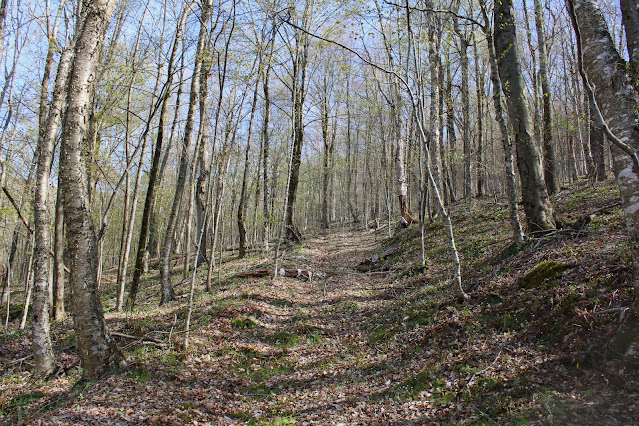
Stumbled upon an old woods road on the steep terrain, so briefly utilized it to gain some additional elevation.
Screened view down into George Allen Hollow near my starting point.
I didn't make a direct route to the summit, instead choosing to hug the steepest slopes towards the west snout of the ridge. I was able to find one good view west across Route 22 and towards the hills of the Capital District WMA and Cherry Plain State Park.
Beyond the clearing, I picked up a flagged route up to the nondescript, wooded 2611 foot summit.
After hitting the top, I circled my way over to the Taconic Crest Trail for a few moments, before dropping steeply down to the NW, with a woods road to aid my way.
Total distance hiked was about 3.8 miles RT and over 1300 feet of ascent.
Map below. Red P=Parking Red X=Summit


No comments:
Post a Comment