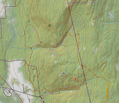
With a just turned two year old toddler and an 8 month pregnant wife at home, my opportunities to get out hiking are very limited these days, but I was able to take advantage of a rare afternoon free to do a little exploring close to home in the nearby Taconics. I decided to explore an east ridge of Rounds Mountain from Kittle Road on the Massachusetts side of the peak, up to an obscure summit north of the named peak. Parked in an unmarked pull off on the north side of the road(Elevation 1500 feet) and headed north through an open meadow with nice views back towards Jiminy Peak's ski slopes.
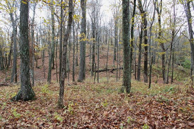
Above the meadow I slowly gained elevation heading north through an open hardwood forest. Once I gained the ridge, I turned NW and continued my climb towards the New York state border.
Hitting the yellow blazes of the NYS DEC at the state line, around 2080 feet elevation.
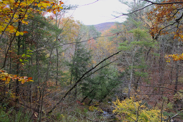
Once in New York, I continued my ascent NW high above the drainage of Jones Brook, with filtered views east towards Brodie Mountain.
I headed due west below the summit, crossing momentarily over the Taconic Crest Trail in search of some peek a boo views out over rural Stephentown, NY.
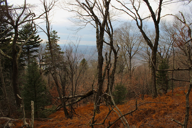
The west side of the summit was pretty exposed through the bare trees and being battered with strong winds, making it feel quite a bit colder than it actually was. The true summit sits at 2458 feet and sits unassumingly a few feet off the marked Taconic Crest Trail, which traverses the peak north to south.
Once I hit the top, I headed back SE towards Massachusetts and my waiting car, barely beating the early November sunset. Covered about 3.1 miles RT, with 1000 feet of climbing.


