Search This Blog

Saturday, December 7, 2013

Tyringham Cobble

Woke up to a fresh coating of snow this morning and headed east to the Berkshires.  Tyringham, in the southern Berkshires, is a small town just outside of Lee, with a few houses along Main Street, a post office and church and a couple of horse farms, giving the town a true nineteenth century feel.  Tyringham Cobble, the very large stone outcrop at the top of the hillside looms over the tiny village.  The forecast called for several inches of snow in the Berkshires, but there only seemed to be about two inches of the white stuff when I got there.  Another couple had arrived at the parking area just ahead of me.  They headed out before me so I headed counter clockwise as to not follow them and get in each others way.
 Tyringham Cobble from the trail head.
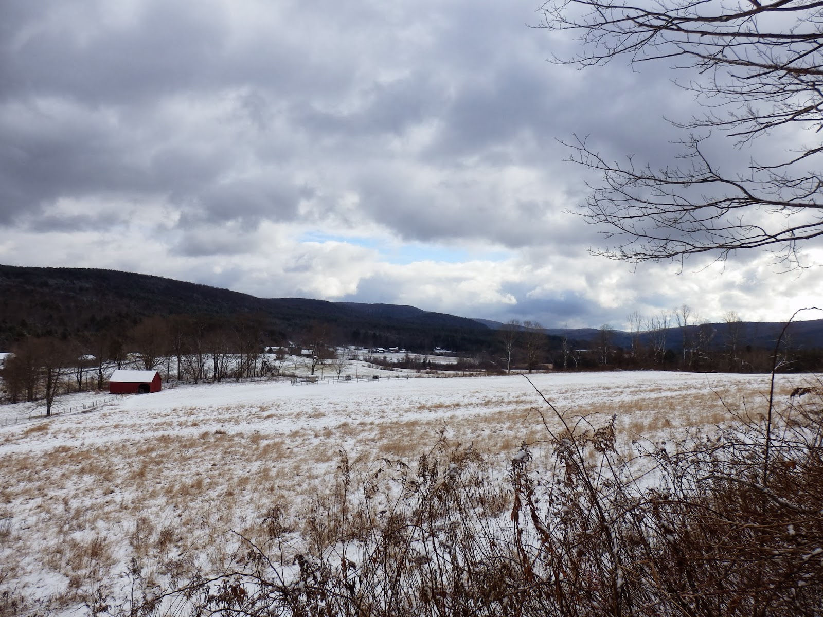
 Near the beginning of the trail is a large red barn, adding to the bucolic setting.
 After walking across open fields with brisk winds it was nice to get into the woods for some cover.  The trail heads steadily up the hillside through the woods with a very wintry feel.  Fox tracks could easily be made out in the snow nearly all the way up the trail.
Signage is very good at all the trail junctions.  The Tyringham Cobble trail is actually part of the Appalachian Trail.
 Once at the top of the cobble, the views east over the Tyringham Valley are spectacular.
 Main Street in Tyringham with the town's cemetery.
 The white steeple church in the middle of the village.
 The picturesque valley.
 Freshly fallen snow covered the trail making for a pleasant, peaceful walk.
 The "Bunny" rock!
 Winter looks like it has arrived early in the Berkshires.
Tyringham's rural Main Street.
 Barbed wire lines the trail part of the way near the fields.
The open fields below the cobble.
This trail, while only a short drive to Lee's outlets and the interstate, is a quiet, secluded area, seemingly a world away.  The trail is only 2 miles RT but the setting is simply beautiful.  The entire town has an old time feel and leaves you with a good feeling.  This well known trail is a favorite of many and fun for the whole family.

Friday, December 6, 2013

Schodack Town Park

With rain showers moving out of the area and another front moving in later(a wintry front), I had a small window to get out and take a walk outside. I opted to walk along the banks of the Moordener Kill on the trails of Schodack Town Park.  A local favorite for dog owners, these trails are mostly level through woods and along the stream.  There were several people with dogs out on the trails today as others seemed set on taking advantage of this respite in the weather too.  The sun even tried to come out for a few fleeting moments.
 The Moordener Kill.
 A beautifully constructed foot bridge over the creek.
 The first cascades along the trail.
 Looking upstream from the second foot bridge.
 The red trail closely follows the banks of the creek.
 There are several wooden benches along the way for opportunities to soak in the peaceful sounds of the running water and birds above in the trees.
 The second cascades further upstream.
 The birds were out chirping, making it feel like early spring today.  The woods are so bare this time of year, that it actually has its own beauty.  These browns and grays may be replaced very soon by white.

Wednesday, December 4, 2013

Blatnick Park and the Lisha Kill Preserve

The Hudson-Mohawk Bike Hike Trail provides a unique recreational opportunity for all to enjoy.  This paved trail, approximately 35 miles in length, is constructed on the original Erie Canal Towpath and former railroad grades, which were the original transportation routes for the area.  The section I visited today in Niskayuna is just a part of a much larger trail system that runs nearly the entire length of the state.  The Erie Canalway Trail is a network of nearly 300 miles of multi-use trails that run from Little Falls in western NY all the way to Albany.
I visited the Jeff Blatnick Park in Niskayuna today which provides direct access to these trails as well as ballparks, a dog park and picnic areas.  After a short walk past the recreational areas, a large hill overlooking the Mohawk River comes up on your right.  This is the dog park area, with plenty of open fields for a dog to roam.
Cattails along the path up the hill.
Views from the open field of the Mohawk River.  Vischer Ferry lies on the opposite shores here.
The trail heading down from the park to the river banks.
Looking back up the hill to open fields of the dog park.
A couple out for a morning walk on the trail.
After a short walk on the paved trail, several trails head into the woods on the right.  These trails are a part of the 107 acre Mohawk River State Park.  I decided to head up onto the steep Shaker Gorge trail.
There were some icy spots along the trail, so had to watch my footing carefully, especially near the steep gorges.
The stream running through Shaker Gorge.
It was a very nice woods walk and eventually looped back to the bike hike trail.  The trail, while running along the river, only offers mostly broken views through the trees.
As I headed back to the parking area, I passed Blatnick Park, with its multiple ball fields.  This is a much busier area during the warmer months, but on this cool December morning it was very quiet.
Once I got back to my car, I then headed down the road a couple of miles to the Lisha Kill Preserve, pleasantly tucked away to the woods off of Rosendale Road.  A 140 acre preserve, it is a rare example of old growth forest in a developed area.  Some of the trails climb steeply in and out of deep ravines, so you must watch your footing when hiking here.
After a short walk there is a stream crossing.  The Fly Kill, a small tributary of the Lisha Kill, cuts through the preserve here.
A fair amount of ice is forming already on the stream from the recent cold weather.
The trails loop through mixed woodland and through a deep hemlock forest.
The partially frozen Lisha Kill.
The Lisha Kill is approximately one mile in length and runs through mostly deep stream ravines on its way to the Mohawk River.
The Lisha Kill is a broad but shallow stream.
This section of the trail runs along the stream banks, allowing for a peaceful walk.

Tuesday, December 3, 2013

Pachaquack Preserve

Stopped by the Pachaquack Preserve in Valatie after work today for a short walk along the banks of the Kinderhook Creek.  The term Pachaquack is Mohican for "cleared meadow" and was a meeting place on top of the hillside along the Kinderhook Creek. The far side of this 43 acre preserve lies directly on the opposite banks of River Street Park, also in Valatie, allowing locals great access to both shores of the Kinderhook Creek.

 The large parking lot has a couple of different trail options to choose from.  One follows an access road and the other is an actual trail that drops into the woods and down a hillside to the banks of the creek.  The opposite banks of the creek are steep and directly below the backyards of homes and businesses on Main Street in Valatie.
The creek goes from still water to rapids within just a matter of yards.
The current running strong.
 The air was comfortably cool in the low 40's making for nice walking weather.
 Looking back upstream from the shoreline.
Most of the one mile loop trail is very well defined, following the powerlines in many areas.
 Looking across the creek to the confluence of the Valatie Kill and the Kinderhook.
 The Valatie Kill running into the much bigger Kinderhook Creek again.
 Looking downstream.
 Found this very interesting.  A ladder placed down on this tree allows easier access to a rope swing several feet further down the tree over the creek.
The late autumn weather can be a great time to get out and stretch your legs.  The weather is crisp but not cold, the mosquitoes are long gone and the trails are ice free, making for great walking!