Search This Blog

Friday, December 13, 2013

Thacher Park

Rising steeply above the rural western Albany County countryside is the Heldeburg Escarpment, offering spectacular views over much of the Hudson River Valley.  Much of the escarpment is within John Boyd Thacher Park, which offers over 20 miles of trails as well as camping opportunities, picnic areas and ball fields.
Went for a cold wintry walk along the Escarpment Trail. The park, which is usually bustling during the summer months, was almost completely devoid of people today.  I saw one other car in the parking lot and not another person out in the park at all.  This would be the only trail I would walk on this cold afternoon.
 The escarpment is dangerously steep, but provides amazing views.
 Near Tory Cave.  The wooden fence runs parallel to the trail the entire way, providing a safety barrier to the abrupt drop off of the cliffs.
 There were animal tracks throughout the park, most following the trail.  This appeared to be a coyote track.
 Looking back across the steep rock walls of the escarpment.

 Zoomed in on the wintry landscape.
The Heldeburg Escarpment rises roughly 700 feet above the landscape below.
 Its very easy to glimpse into backyards and at houses from this vantage point.
 Rural Albany County.

 The steep escarpment.
 Another angle of the escarpment.  It's tough for these photos to really capture just how very steep these cliffs are.

 There are many caves and other interesting geological formations in the park.  Indian Ladder is by far the most popular trail, but is only open seasonally.  Tory Cave is a spot with its own story to tell, as explained on the state post placed along the trail.
 Mine Lot Creek frozen over.
 This was an odd looking tree near the Horseshoe Lot.
 A panoramic view of Albany county.  On a clear day, one can see all the way to Taconics.
 A shelter and picnic area above one of the cliffs.
 These are steps leading to the overlook area.
 Overlook area, looking off the cliffs to the Altamont countryside.
 There are many very steep cliffs along the length of the Escarpment trail with warning signs placed throughout.

 No privacy for some families.
Winds were biting cold and snow was starting to fly so I headed back to the car after covering about a mile and half of walking.  This is a park with many great opportunities that I will gladly seek out in the future.

Thursday, December 12, 2013

Vroman's Nose

Went west today to Schoharie County, to visit Vroman's Nose, a fantastic geological formation towering 600 feet above the valley floor.  The distinctive rock "nose" can be seen from quite a distance away and is a well known landmark in the area.  The trail is accessed from a back road but anyone who drives along Route 30 in Middleburgh will be directly below the cliffs.
                   
From the parking lot, you cross an open field before entering a mixed woods forest with a wide trail heading moderately up the shoulder of the mountain.
 It is steep in several areas along the trail.
 After about .75 miles you will reach the level summit of Vroman's Nose.  There are several glimpses of the valley below on the way up and even a couple of clearings, but none compare to the wide open views at the top.  Much of the valley below is very flat and utilized as farmland.
 Houses and barns below along route 30.
 Traffic can be seen far below on route 30 as well as backyards.
 Looking west from the summit.
 Lake effect snow flying from the west.
 Many spots along the summit are extremely steep.  This allows for beautiful views, but can be dangerous if you are not careful.
 Looking steeply down the cliffs to the tops of houses below.
 This picture gives an idea of how steep it really is in spots.
 The partially frozen Schoharie Creek can be seen meandering through the countryside.
 Formations in the fields.
 Along the eastern edge of the summit is this rocky cliff.  One can, if so inclined, go to the edge and take a look.  But it is not for the faint of heart.
 Another view easterly.
 Looking directly down over the Route 30.
 Sun and clouds over the Schoharie Valley.
 My car by itself in the parking lot.  This is a very popular trail, especially on weekends and in nicer weather.
This is a view of Vroman's Nose from the west, approaching on Route 30.
 A view of the east side of Vroman's Nose from the Schoharie Creek.
 The beautiful Middleburgh countryside on a cool 20 degree December morning.

Tuesday, December 10, 2013

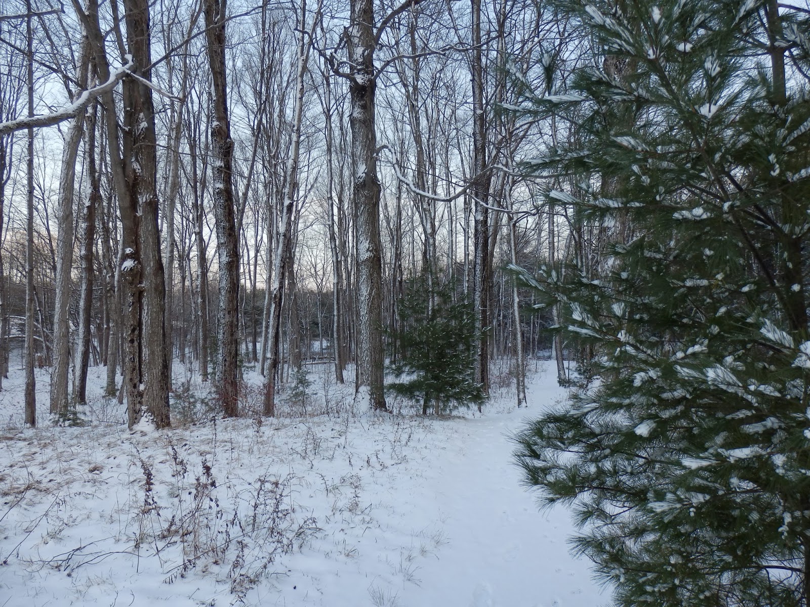
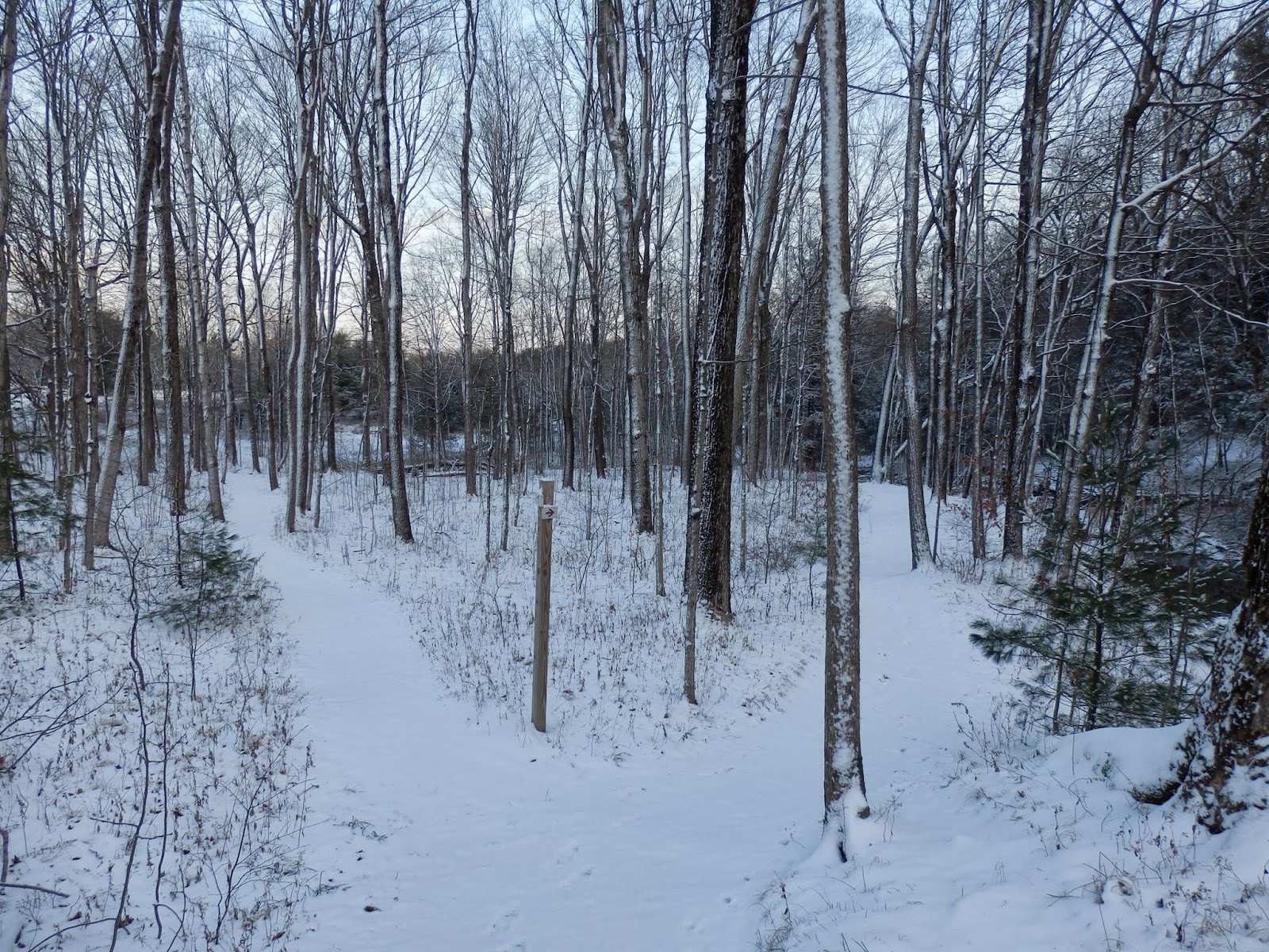
Light Snow in Schodack Town Park

A small wave of low pressure came through late this morning and early this afternoon providing us with about an inch of fresh powder in the area.  It was enough to make the roads a little slick for the ride home from work.  Once the snow stopped, it actually began clearing so I decided to head out for a walk at the Schodack Town Park before the sun set.
 Freshly fallen snow.
Almost winter.
 Snowy trails.
 Moordener Kill falls.
 Winter along the stream.


 A pleasant spot to stop and appreciate the solitude.
 Seasons Greetings.
 Ducks in the cold stream waters.
 The Moordener Kill.
 Winter woods on a cold evening.