The Berkshires are well known for the Greylock Range and the Taconics, but the often overlooked Hoosac Range also offers some spectacular views. That was my destination today, and I was very glad to be out hiking, because I'd been pretty limited recently due to other obligations.
From North Adams, the Hoosac Range can be seen rising steeply to the east.
Snow covered Hoosac Range from North Adams Walmart.
Just past the famous hairpin turn on the Mohawk Trail(Route 2) there are stunning ice formations along the road.
Owned and maintained by the Berkshire Natural Resources Council(BNRC), the Hoosac Range trail is only a few years old and the 2.8 mile trail leads to the 2566 foot Spruce Hill.
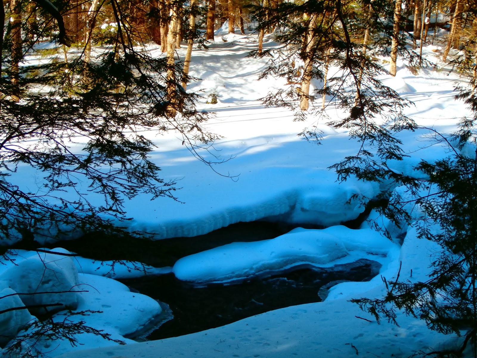
I came to the realization that all miles are not created equal after today's hike. Yesterday's heavy snowfall left about a foot of fresh new snow on most of the area, but on the upper slopes of the Hoosac Range in the northern Berkshires, there was well over a foot of snow, as well as drifts nearly three feet high. The sun was shining bright and the skies were clear making for a winter wonderland.
I chose to leave the snowshoes behind when I saw that there were two other cars in the lot and fresh footprints making a clear path in the snow. I thought to myself, if the trail is already broken in and packed down, then no need for snowshoes.
The two thirds of a mile proved to have been broken in, but they turned around there, leaving me to break trail the entire rest of the hike. I had a decision to make. Turn around and go get the snowshoes from the car or keep on going. I went on. This proved to be extremely challenging, as the deep snow was very fatiguing.
The first views are from Sunset Rock nearly a mile into the trail with views northeast towards the town of Florida.
From Sunset Rock, there are views of Route 2 climbing towards Witcomb Summit.
Blue skies and cold temps.
There are several rock formations along the trail, making it especially difficult to traverse in the deep snow.
Nearly two miles into the hike, a short spur trail leads to an eastern vista.
The rolling Berkshire hills.
I was impressed with the new signage along the trail since the last time I did this hike.
The snow may have been tough to walk in, but made for a beautiful scene.
A coating of white covered nearly everything on the trail.
Along a ridge line, there are some broken views to the west of the Greylock Range.
A zoomed in look at Mount Greylock through the trees.
A winter wonderland.
The sun and snow made for a great scene.
The deep coating of white on everything was simply magical.
At a clearing for power lines, there are great views west.
In any clearing along the top of the ridge, the deep snow drifted and became extremely difficult to get through.
Near the summit of Spruce Hill is a great view of North Adams far below.
Once to the actual summit, Spruce Hill offers spectacular views from a large stone clearing. Nearly the entire Greylock Range is right before you.
The Taconic Mountains rise in the distance, while the Greylock Range is to the left and East Mountain rises on the right to the north.
Astonishing views to the northwest.
Once again, the Greylock Range with Mount Greylock's summit and its tower visible as the high point.
Beautiful winter day.
One last look back at the summit of Spruce Hill.
Heading back down off the summit, the 2.7 miles back to the car were going to be challenging.
My legs were starting to feel extremely weary on the return, so I had to stop and rest several times, which allowed me to have a different perspective on the woods.
The trail on the way back. I was very tired at this point and the deep snow made every step difficult.
I was very happy to get back to the car. 5.6 miles RT and the last 1.5 were made tougher by a cramp in my right leg. A challenging but very beautiful winter hike.